
Lenartov, municipality of Slovakia
Location: Bardejov District
Inception: 1427
Elevation above the sea: 468 m
Website: http://lenartov.sk
GPS coordinates: 49.31000,21.02083
Latest update: April 30, 2025 11:22
Kościół pw. Świętego Jakuba Młodszego Apostoła w Powroźniku
8.4 km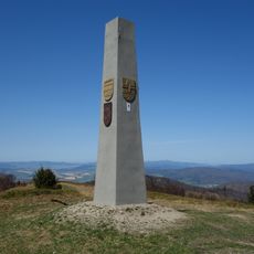
Minčol
8.7 km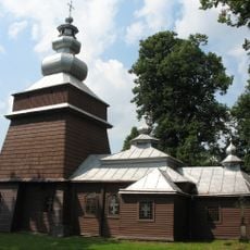
Church of Saints Cosmas and Damian in Tylicz
9.5 km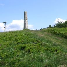
Cergovsky Mincol
9.3 km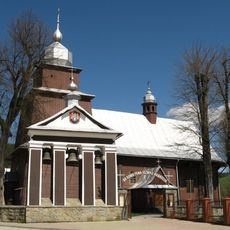
Church of the Holy Apostles Peter and Paul in Tylicz
9.9 km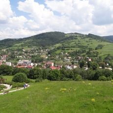
Malnik
8.4 km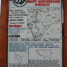
Rezerwat przyrody Okopy Konfederackie
7.9 km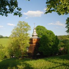
Orthodox Church of Saints Cosmas and Damian in Wojkowa
4.2 km
Cerkiew św. Dymitra w Leluchowie
6.2 km
Church of Saint John the Evangelist in Muszynka
8.9 km
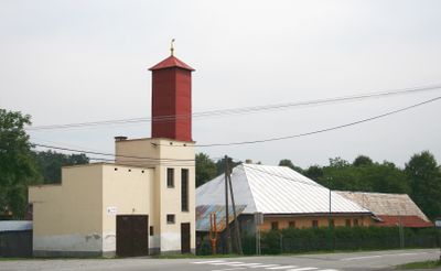
Church of Saint Michael Archangel in Dubne
2.8 km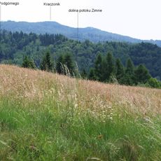
Kraczonik
5.9 km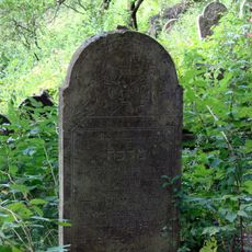
Jewish cemetery in Muszyna
9.6 km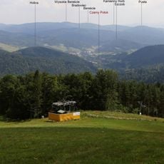
Bradowiec (szczyt)
8.3 km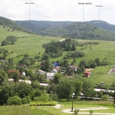
Przechyby
6.3 km
Barwinek (szczyt)
2.8 km
Czarne Garby
3.1 km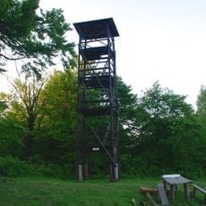
Observation tower at Kráľova studňa
2.9 km
Pusta (822 m)
5.3 km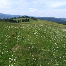
Roztoka (Góry Leluchowskie)
4.6 km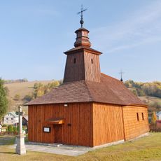
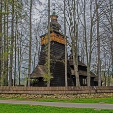
Temple of St Luke, Krivé
9.6 km
Lazy (Góry Czerchowskie)
9.1 km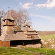
Temple of Saints Cosmas and Damian, Lukov-Venecia
4.4 km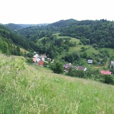
Zdziar (Góry Leluchowskie)
7 km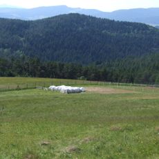
Przykra (Góry Leluchowskie)
6.4 km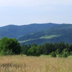
Zbójnicki Wierch
9.5 km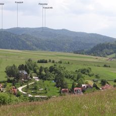
Pieronka
6.6 km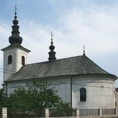
Chrám sv. Michala Archanjela
6.5 kmReviews
Visited this place? Tap the stars to rate it and share your experience / photos with the community! Try now! You can cancel it anytime.
Discover hidden gems everywhere you go!
From secret cafés to breathtaking viewpoints, skip the crowded tourist spots and find places that match your style. Our app makes it easy with voice search, smart filtering, route optimization, and insider tips from travelers worldwide. Download now for the complete mobile experience.

A unique approach to discovering new places❞
— Le Figaro
All the places worth exploring❞
— France Info
A tailor-made excursion in just a few clicks❞
— 20 Minutes