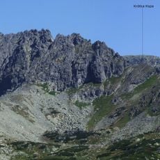
Krátka, Mountain summit in Poprad District, Slovakia.
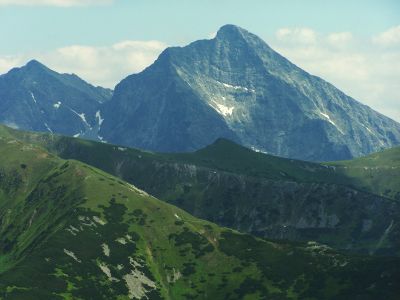
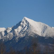
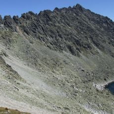
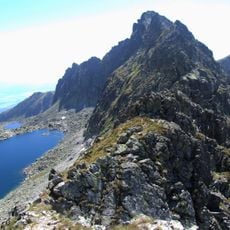
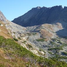
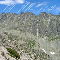
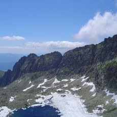
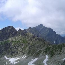
Krátka is a mountain summit in the High Tatras with an elevation of 2,374 meters (7,789 feet) and distinctive granite rock formations along its slopes. The peak rises steeply above the surrounding landscape with exposed stone faces characteristic of this alpine range.
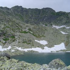
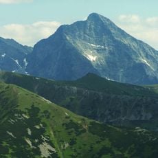
The High Tatras, including Krátka, became part of Slovakia's first national park in 1949, establishing protected status for the entire mountain range. This designation reflected growing recognition of the region's ecological importance and the need to safeguard its natural character.
Local mountaineering groups regularly organize expeditions to Kratka, maintaining traditional climbing routes established by earlier generations.
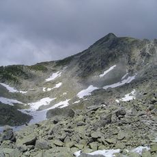
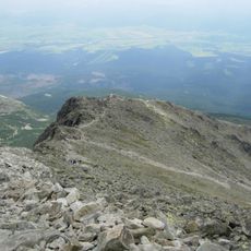
The summit is best accessed during summer months when weather conditions are more stable and marked trails are easier to navigate. Visitors should start early in the day and be prepared for sudden weather changes that frequently occur at this elevation.
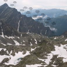
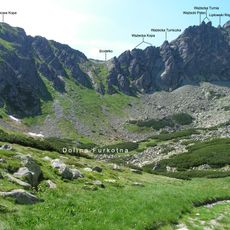
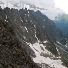
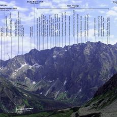
From the summit, visitors can see an impressive cluster of up to twenty neighboring peaks, all visible within a compact radius. This concentration of surrounding mountains makes it an exceptional vantage point for understanding the overall structure of the massif.
The community of curious travelers
AroundUs brings together thousands of curated places, local tips, and hidden gems, enriched daily by 60,000 contributors worldwide.