Ban Sang, district in Prachin Buri province, Thailand
Location: Prachin Buri
Elevation above the sea: 4 m
GPS coordinates: 13.99500,101.22139
Latest update: March 5, 2025 23:52
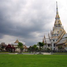
Wat Sothonwararam
39.5 km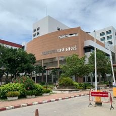
Faculty of Medicine, Srinakharinwirot University
28.8 km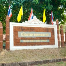
Dong Lakhon historical city
18.9 km
Wat Chaeng
19 km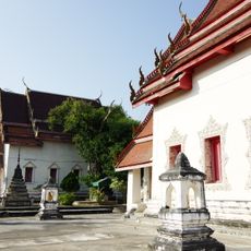
Wat Pitulathirat Rangsarit
37.6 km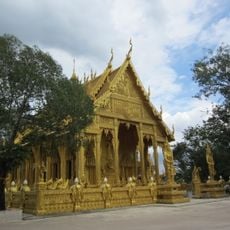
Wat Pak Nam Cholo
28.4 km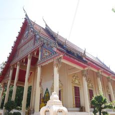
Wat Pho Bang Khla
30.5 km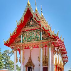
Wat Khao Cha Ngok
35 km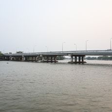
Chachoengsao Bridge
37.6 km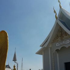
Wat Prayong Kitti Wanaram
39.5 km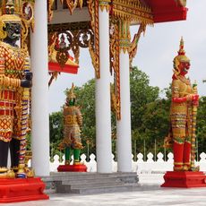
Wat Phrong Akat
28.3 km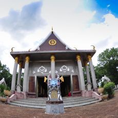
Wat Sa Morakot
26.4 km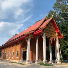
Wat Chulabhorn Wanaram
37.6 km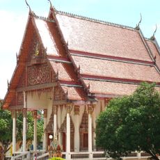
Wat Khiri Wan
28.7 km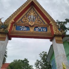
Wat Chang
33.8 km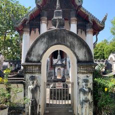
Wat Yai Thakkhinaram
24.1 km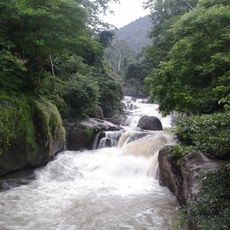
Nang Rong waterfall
39.2 km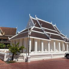
Wat Pho Nayok
23.3 km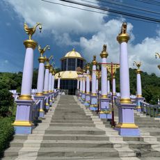
Wat Khao Khok
35 km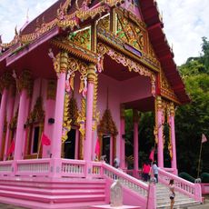
Wat Khao Thurian
29.6 km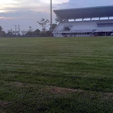
Nakhon Nayok Provincial Administrative Organization Stadium
24.8 km
Nam Tok Sarika
35.2 km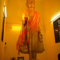
Wat Khao Daeng
30.2 km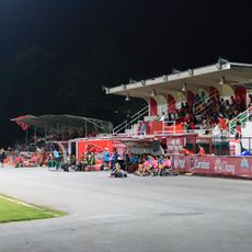
Chachoengsao Town Municipality Stadium
37.8 km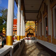
Wat Bang Khang
14.1 km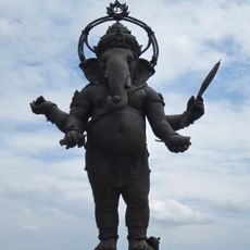
Ganesh
29.4 km
โค้ก เวิร์ล
35.1 km
Sa Morakot Archaeological Site
26.3 kmReviews
Visited this place? Tap the stars to rate it and share your experience / photos with the community! Try now! You can cancel it anytime.
Discover hidden gems everywhere you go!
From secret cafés to breathtaking viewpoints, skip the crowded tourist spots and find places that match your style. Our app makes it easy with voice search, smart filtering, route optimization, and insider tips from travelers worldwide. Download now for the complete mobile experience.

A unique approach to discovering new places❞
— Le Figaro
All the places worth exploring❞
— France Info
A tailor-made excursion in just a few clicks❞
— 20 Minutes