Chaiyaphum, Administrative province in northeastern Thailand.
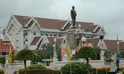
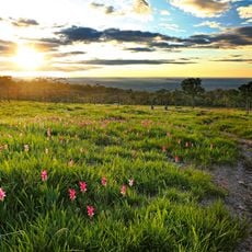
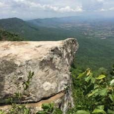
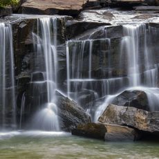
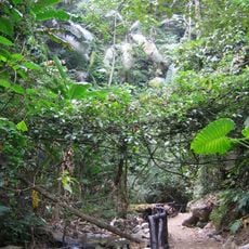
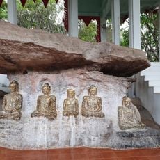
Chaiyaphum is an administrative province in northeastern Thailand with roughly 1150000 residents and its capital city of the same name serving as the seat of government with about 58000 inhabitants as recorded in the 2005 census. The territory covers part of the Khorat plateau and is crossed by the Phetchabun mountain range with dense forest and several waterfalls along the Chi and Mun rivers.
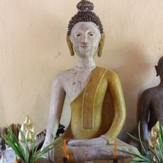
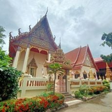
The region broke free from Khmer Empire control in the 12th century and took its present form in 1817 when Lao settlers founded Ban Luang. Later the area developed into a province with shifting boundaries until final definition in the 20th century.
The provincial name means „victory of the city
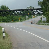
The province sits about 340 kilometers northeast of Bangkok and can be reached via Highway 2 and various regional roads with regular bus connections from the capital. The provincial capital serves as a starting point for trips into the surrounding mountain regions and nature reserves.
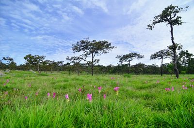
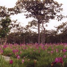
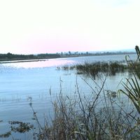
Six national parks lie within the provincial boundaries including Pa Hin Ngam with its distinctive rock formations and Sai Thong with an extensive network of waterfalls. The Chulabhorn Dam supplies large parts of the farmland with water for growing rice tapioca sugar cane and taro root.
The community of curious travelers
AroundUs brings together thousands of curated places, local tips, and hidden gems, enriched daily by 60,000 contributors worldwide.