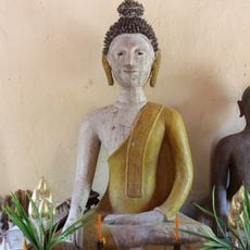
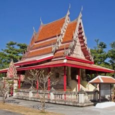
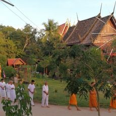
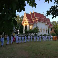
Kaeng Khro, Administrative district in Chaiyaphum Province, Thailand
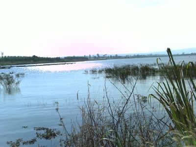
Kaeng Khro is an administrative district in eastern Chaiyaphum Province, Thailand, spanning a large rural area organized into ten subdistricts. The territory encompasses about 125 villages situated at an elevation of 212 meters and connects to neighboring districts through a network of roadways.
The district was carved out from territory that belonged to the neighboring Phu Khiao district and gained independent status on August 13, 1959, as a separate administrative division. This separation marked an important administrative restructuring in the region.
The district name comes from Ta Khro trees that grow along the riverbanks behind the administrative office, reflecting how local geography shapes naming traditions. Locals point to these trees as a defining feature of their area.
The district is well connected through roadways to neighboring areas including Phu Khiao, Ban Thaen, Mancha Khiri, and Khok Pho Chai districts. Visitors can access the area through these road networks from other parts of the province.
The territory is divided into three Thesaban Tambon zones, creating a mix of rural and urban characteristics within a single district. This administrative arrangement is unusual for a rural area of this size.
The community of curious travelers
AroundUs brings together thousands of curated places, local tips, and hidden gems, enriched daily by 60,000 contributors worldwide.