Reyhanlı, district and town of Hatay, Turkey
Reyhanlı is a district in Hatay Province located near the Syrian border. The town has a busy center with local markets, parks, and public spaces where residents gather for daily activities and community events.
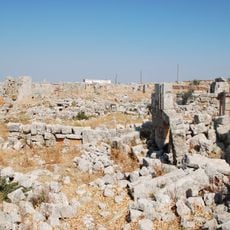
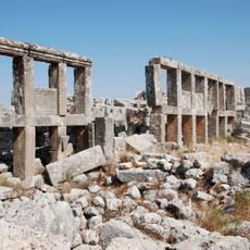
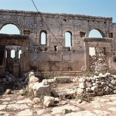
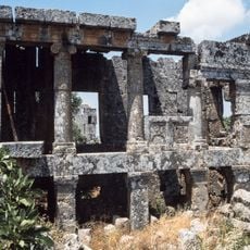
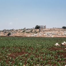
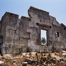
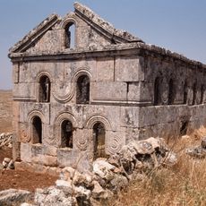
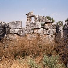
Reyhanlı was known by earlier names such as İrtah and Ar-Rayhaniya, and has a long history involving different rulers and cultures. The town became an important trade point on the route between İskenderun and Aleppo, shaping its role in the region.
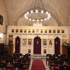
Reyhanlı is a place where Turkish and Arabic cultures meet and influence daily life. The streets fill with traditional clothing during national holidays, and locals decorate public spaces with flags and banners, especially during celebrations like April 23rd.
The flat terrain and simple street layout make it easy to navigate around town. Visitors can walk or cycle to reach markets, parks, and main gathering places without difficulty.
The Cilvegözü border crossing nearby is an important trade route between Turkey and Syria, where people and goods cross daily. During major holidays like the Feast of Sacrifice, many people cross the border to visit family members on both sides.
The community of curious travelers
AroundUs brings together thousands of curated places, local tips, and hidden gems, enriched daily by 60,000 contributors worldwide.