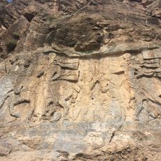
Uludoruk, Summit and mountain in Hakkâri Province, Turkey.
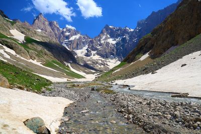
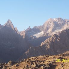
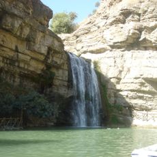
Uludoruk is a mountain in Hakkâri Province that reaches 4,135 meters elevation. The peak is shaped by glaciers that form distinct zones across its slopes and create varied terrain from lower pastures to ice fields.
The mountain was first documented in 1901 when F.R. Maunsell published photographs of its glaciers in a scientific journal. Those early images provided the baseline for later climate studies comparing glacier changes.
The mountain extends across the Eastern Anatolia Region, featuring glacial formations that contribute to the water resources of surrounding communities.
Access is typically from the town of Yüksekova where several trekking routes begin at different difficulty levels. Visitors should prepare for alpine conditions and changing weather at this elevation.
The glaciers visible today are significantly smaller than those shown in Maunsell's 1901 photographs, with measurable retreat each year. This makes the mountain an important natural laboratory for tracking ice changes over a century.
The community of curious travelers
AroundUs brings together thousands of curated places, local tips, and hidden gems, enriched daily by 60,000 contributors worldwide.