Kobula, Mountain summit in Rakhiv district, Ukraine
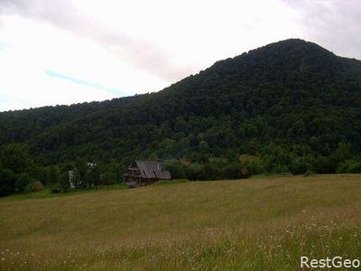
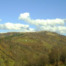
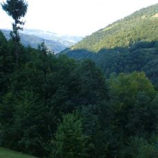
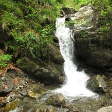
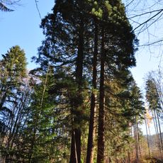
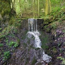
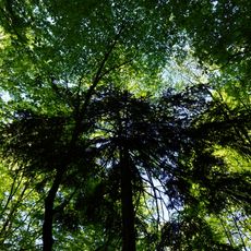
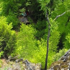
Kobula is a mountain summit in the Ukrainian Carpathians rising around 1177 meters high with steep slopes on three sides and a gentler northern approach. The peak itself remains treeless while forested slopes surround it on other sides.
During World War II, military structures including barracks and command posts were built on the mountain for the Ukrainian resistance movement. These installations served as important defensive and operational positions during the conflict.
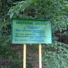
The name Kobula comes from a local legend about a horse carrying gold during wartime that vanished into a mountain cave. This story remains part of how locals understand and speak about the place.
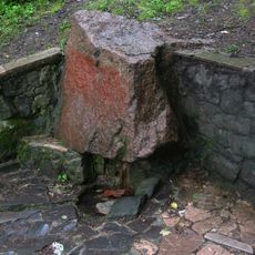
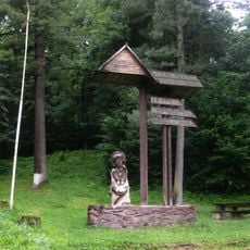
A ski lift spanning around 500 meters helps visitors ascend part of the mountain, while small shelters at the summit provide rest space for tourists and shepherds. The site attracts between 20 to 100 visitors monthly, keeping it a quiet destination.
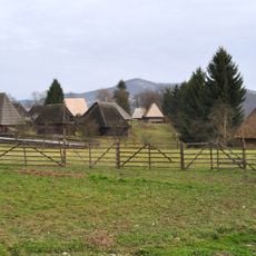
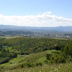
From the summit, visitors can look out toward Kosivska Poliana village while standing on a completely treeless peak. This contrast between open views and the forested slopes below creates an unexpected visual experience.
GPS coordinates: 48.03770,24.09352
Latest update: December 14, 2025 16:40
Rakhiv Raion
16.2 km
Velykyi Bychkiv
9.9 km
Yalynskii Waterfall
15.4 km
Maramureș Village Museum
17.8 km
Apećka
17.9 km
Kuzii protected area
11.1 km
Lykhyi Waterfall
8.6 km
Apaffi castle in Coștiui, Maramureș
18.5 km
Upper Saint Nicholas Church, Serednie Vodiane
14.9 km
Wooden church of the Nativity of Mary in Rona de Jos, Maramureș
13.8 km
Dibrova Reserve
6.5 km
Kamianyi Waterfall
5.5 km
Museum of Mountain Ecology and History of Nature Use in the Ukrainian Carpathians
5.6 km
Church of the Nativity of the Theotokos, Dilove
13.1 km
Dzherelo №4 Natural Monument
7.9 km
Секвоя
7.4 km
Tarnychyn Waterfall
7.7 km
Lower Saint Nicholas Church, Serednie Vodiane
15.6 km
Dzherelo №3 Natural Monument
7.2 km
Polonsko-Kuziiskyi Waterfall
11.1 km
Piddil spring
5.3 km
Парк культури і відпочинку
7.9 km
Тис ягідний
18.1 km
Dovhyi Potik Natural Monument
18.1 km
Скелі з ієрогліфами, східні схили г. Бужора
16.4 km
Веймутова сосна
14.5 km
Arnika Reserve
443 m
Andreikovo spring
3.2 kmVisited this place? Tap the stars to rate it and share your experience / photos with the community! Try now! You can cancel it anytime.
Discover hidden gems everywhere you go!
From secret cafés to breathtaking viewpoints, skip the crowded tourist spots and find places that match your style. Our app makes it easy with voice search, smart filtering, route optimization, and insider tips from travelers worldwide. Download now for the complete mobile experience.
A unique approach to discovering new places❞
— Le Figaro
All the places worth exploring❞
— France Info
A tailor-made excursion in just a few clicks❞
— 20 Minutes