Enable Location

We need your location to show you interesting places around you

Discover nearby places

Find interesting locations and hidden gems around you

Precise directions

Get accurate directions and distances to places

Your location is never shared with other users. It's only used when you tap the location button.

Velykyi Bychkiv

Log in to your account

Start exploring — it's free

Trusted by 65,378 travelers worldwide

Continue with Google
Continue with Apple
or

We will send you a code to connect

By continuing, you accept our Terms and Conditions and our Privacy Policy

Check your inbox

We've sent a pincode in your inbox. Please enter the code below.

Velykyi Bychkiv
Discussion Reviews 1 Photos
7.5k Popularity

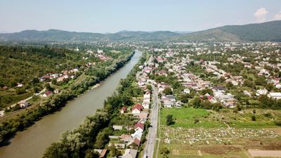
Velykyi Bychkiv, Rural settlement at Tisza River confluence, Rakhiv Raion, Ukraine.

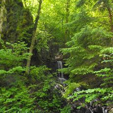
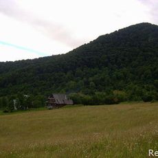
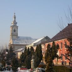
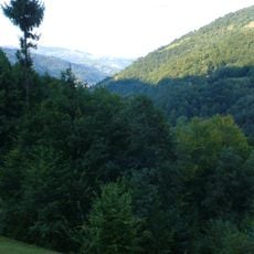
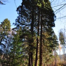
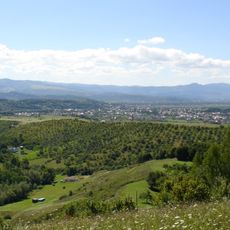
Velykyi Bychkiv is an urban-type settlement in the Rakhiv district of Ukraine, set in a Carpathian mountain valley along the Tisza River. The built-up area sits on both banks of the river, with forested slopes on all sides and a center that includes residential streets, schools, and light industrial facilities.

The settlement, then called Buchku, first appeared in written records around 1358 as a frontier post under Hungarian rule. It passed through several empires over the following centuries before becoming part of Soviet Ukraine after World War II and then part of independent Ukraine in 1991.

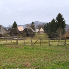
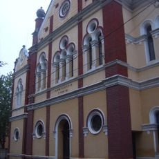
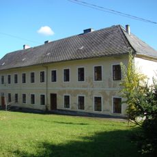
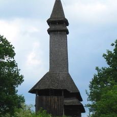
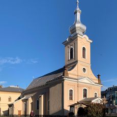
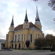
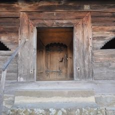
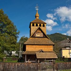
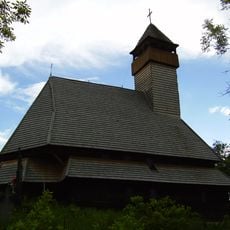
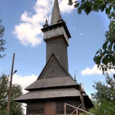
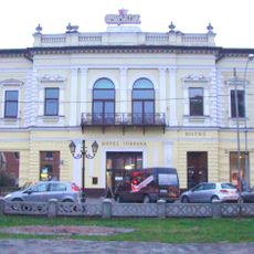
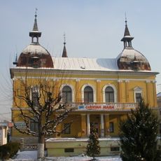
The community has roots in Ruthenian, Hungarian, and German traditions, and this mix is still noticeable in local surnames, architecture, and everyday customs. Small chapels and roadside shrines reflecting different religious backgrounds are scattered throughout the settlement.

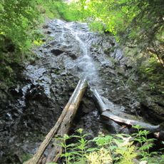
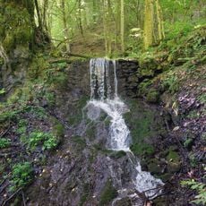
The valley can be visited at any time of year, but mountain roads may become difficult in winter due to snow and ice. Sturdy footwear is advisable throughout the year, as riverside paths and the surrounding slopes can be uneven.

A narrow-gauge forest railway built in 1930 still runs from the settlement into the surrounding woodland and continues to carry timber. Lines of this type from that era are now very rare in active use across Europe.

The community of curious travelers

AroundUs brings together thousands of curated places, local tips, and hidden gems, enriched daily by 60,000 contributors worldwide.

Start exploring
Elevation above the sea
307 m
GPS coordinates
47.97139,24.00472
Latest update
March 3, 2026 10:11
Reviews
Share your experience

No review yet

Discussions
Start a discussion...

No discussion yet

« Velykyi Bychkiv - Rural settlement at Tisza River confluence, Rakhiv Raion, Ukraine » is provided by Around Us (aroundus.com). Images and texts are derived from Wikimedia project under a Creative Commons license. You are allowed to copy, distribute, and modify copies of this page, under the conditions set by the license, as long as this note is clearly visible.

Discover hidden gems everywhere you go!

From secret cafés to breathtaking viewpoints, skip the crowded tourist spots and find places that match your style. Our app makes it easy with voice search, smart filtering, route optimization, and insider tips from travelers worldwide. Download now for the complete mobile experience.

Around Us App Screenshot

A unique approach to discovering new places

Le Figaro

All the places worth exploring

France Info

A tailor-made excursion in just a few clicks

20 Minutes

Around Us
Travel Guide & Maps
Download

Send to your phone

QR Code
1

Open the camera app on your mobile.

2

Point at the QR code with your camera. A notification will appear.

3

Tap the notification to open the link.