Weymouth

Log in to your account

AroundUs is a community-driven map of interesting places, built by curious explorers like you. It grows with every review, story, and photo you share.
Connect to save your favorite spots, contribute locations, and create personalized routes.
Continue with Google
Continue with Apple
Continue with X
Continue with Facebook
Continue with email
By continuing, you accept our Terms and Conditions and our Privacy Policy
Create an account
Add to collection
Map
Suggest a change
Share

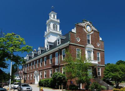
Weymouth, Coastal settlement in Norfolk County, Massachusetts, United States

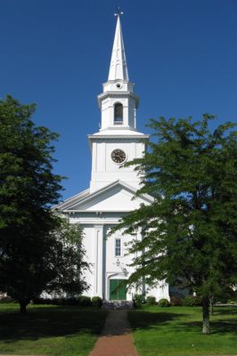
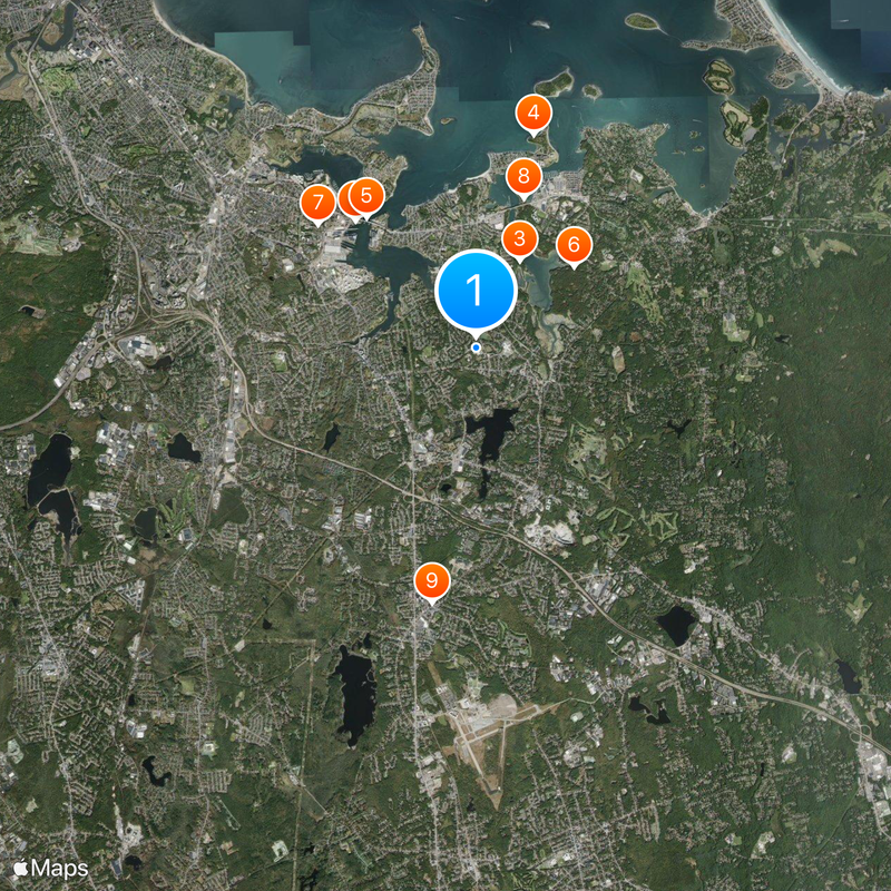
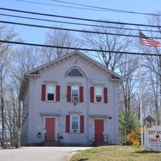
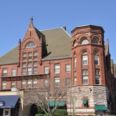
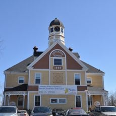
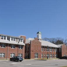
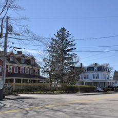
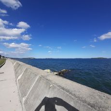
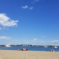
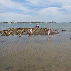
Weymouth is a town in Norfolk County, Massachusetts, that covers three villages and several miles of waterfront along Hingham Bay and the Weymouth rivers. The community combines residential neighborhoods with parks, small harbors, and former industrial sites that have found new uses in recent years.

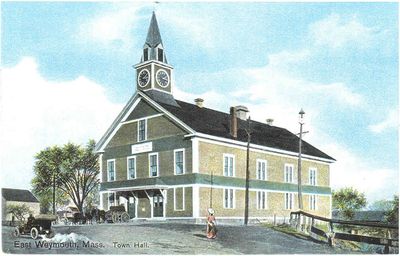
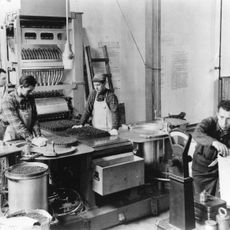
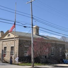
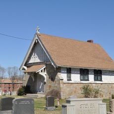
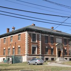
The settlement started in 1622 as Wessagusset Plantation and was the second oldest European community in Massachusetts after Plymouth Colony. After a difficult beginning, the place was formally incorporated as Weymouth in 1635 and evolved over the centuries from an agricultural to an industrial and later residential town.

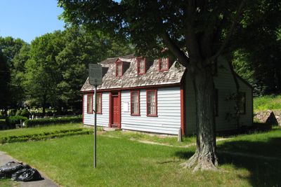
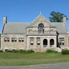
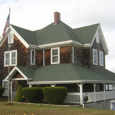
The name comes from the port town of Weymouth in Dorset and was given by early settlers who saw in this coastal stretch echoes of their English homeland. The birthplace of Abigail Adams preserves the domestic life of colonial times and shows how families lived and organized their homes in the 18th century.

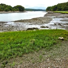
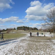
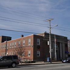
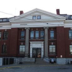
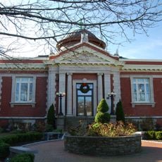
The town government offers online access to property records, building permits, and waste management information, which simplifies administrative matters. Several public beaches and parks sit along the waterfront and can be reached on foot or by car.

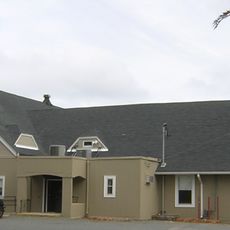
The former South Weymouth Naval Air Station was converted into Union Point, a project that combines housing with sports facilities and commercial spaces on grounds that served the military for nearly a century. The conversion shows how old military sites in New England can find new roles in civilian life.

Location: Norfolk County

Inception: 1623

Elevation above the sea: 27 m

Website: http://weymouth.ma.us

GPS coordinates: 42.22083,-70.94028

Latest update: December 13, 2025 17:44

Photos
Around this place
United States Naval Shipbuilding Museum
United States of America

United States Naval Shipbuilding Museum

3.6 km
Great Esker Park
United States of America

Great Esker Park

2 km
Webb Memorial State Park
United States of America

Webb Memorial State Park

4.5 km
Fore River Bridge
United States of America

Fore River Bridge

3.4 km
Hingham Naval Ammunition Depot
United States of America

Hingham Naval Ammunition Depot

2.6 km
United States of America

Quincy Mosque

4.1 km
Weymouth Back River Reservation
United States of America

Weymouth Back River Reservation

3.2 km
Fogg Library
United States of America

Fogg Library

5.2 km
Rockland Trust Company
United States of America

Rockland Trust Company

9.6 km
Rockland High School
United States of America

Rockland High School

8.2 km
Rockland Memorial Library
United States of America

Rockland Memorial Library

9.3 km
Weymouth Civic District
United States of America

Weymouth Civic District

46 m
Quincy Point Fire Station
United States of America

Quincy Point Fire Station

4.1 km
John Adams School
United States of America

John Adams School

1.1 km
Fogg Building
United States of America

Fogg Building

5.3 km
Fore River Club House
United States of America

Fore River Club House

4.5 km
Jefferson School
United States of America

Jefferson School

517 m
Pond Street School
United States of America

Pond Street School

6.5 km
Sea Street Historic District
United States of America

Sea Street Historic District

2.6 km
United States Post Office–Weymouth Landing
United States of America

United States Post Office–Weymouth Landing

2.2 km
Front Street Historic District (Weymouth, Massachusetts)
United States of America

Front Street Historic District (Weymouth, Massachusetts)

2.1 km
House at 32 Bayview Avenue
United States of America

House at 32 Bayview Avenue

5.8 km
Central Square Historic District
United States of America

Central Square Historic District

551 m
Weymouth Meeting House Historic District
United States of America

Weymouth Meeting House Historic District

1.1 km
Brown-Hodgkinson House
United States of America

Brown-Hodgkinson House

4 km
Manet Beach
United States of America

Manet Beach

5.2 km
Wessagusset Beach
United States of America

Wessagusset Beach

3.1 km
George Lane Beach
United States of America

George Lane Beach

3.6 km
Show the full map
Reviews

Visited this place? Tap the stars to rate it and share your experience / photos with the community! Try now! You can cancel it anytime.

« Weymouth - Coastal settlement in Norfolk County, Massachusetts, United States » is provided by Around Us (aroundus.com). Images and texts are derived from Wikimedia project under a Creative Commons license. You are allowed to copy, distribute, and modify copies of this page, under the conditions set by the license, as long as this note is clearly visible.

Discover hidden gems everywhere you go!

From secret cafés to breathtaking viewpoints, skip the crowded tourist spots and find places that match your style. Our app makes it easy with voice search, smart filtering, route optimization, and insider tips from travelers worldwide. Download now for the complete mobile experience.

Around Us App Screenshot

A unique approach to discovering new places

Le Figaro

All the places worth exploring

France Info

A tailor-made excursion in just a few clicks

20 Minutes