Enable Location

We need your location to show you interesting places around you

Discover nearby places

Find interesting locations and hidden gems around you

Precise directions

Get accurate directions and distances to places

Your location is never shared with other users. It's only used when you tap the location button.

Norfolk County

Log in to your account

Start exploring — it's free

Trusted by 61,834 travelers worldwide

Continue with Google
Continue with Apple
or

We will send you a code to connect

By continuing, you accept our Terms and Conditions and our Privacy Policy

Check your inbox

We've sent a pincode in your inbox. Please enter the code below.

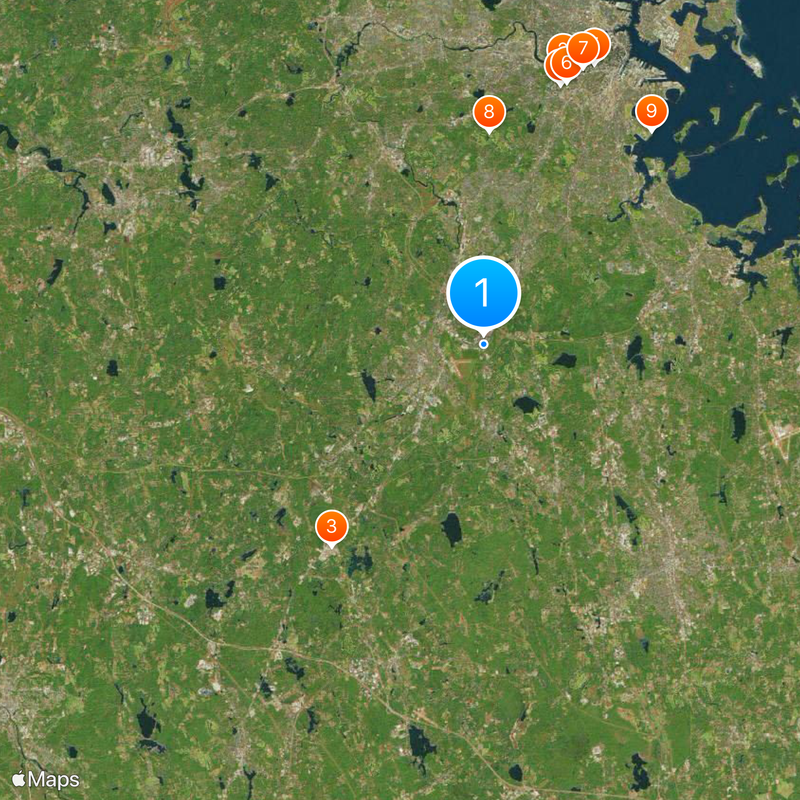
Norfolk County, Administrative county in eastern Massachusetts, United States.

Description

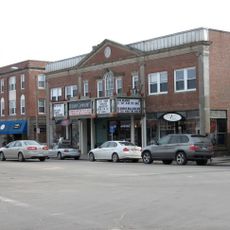
This administrative region in eastern Massachusetts includes 28 municipalities with Dedham serving as the seat of government. The territory extends south of Boston and covers coastal towns as well as wooded inland communities.

History

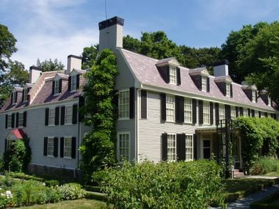
The territory was created in 1793 by a decision under Governor Hancock, splitting it from Suffolk. Several American presidents grew up in towns within this region in the following centuries.

Culture

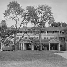
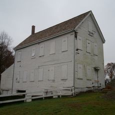
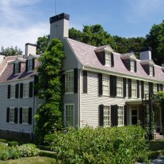
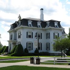
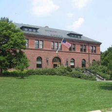
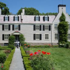
The name comes from Norfolk in England and was chosen in the late 18th century. Visitors find historic colonial and early republic buildings in many towns, now used as homes or small museums.

Practical

Administrative services are accessible in Dedham and many municipalities offer public information online. Visitors can explore towns independently or visit individual historic buildings.

Did you know?

Two municipalities lie separate from the main area: Brookline is surrounded by Suffolk, and Cohasset borders the rest only by water. This geographic split came from historical boundaries and remains today.

Location
Inception
1793
Capital city
Dedham
Shares border with
Middlesex County, Suffolk County, Plymouth County, Bristol County, Providence County, Worcester County
GPS coordinates
42.19916,-71.15444
Latest update
December 13, 2025 16:12

AroundUs brings together thousands of curated places, local tips, and hidden gems, enriched daily by 60,000 contributors worldwide. Discover all places nearby (Massachusetts).

Around this place
Fenway Park
United States of America

Fenway Park

17 km
Gillette Stadium
United States of America

Gillette Stadium

15.1 km
Isabella Stewart Gardner Museum
United States of America

Isabella Stewart Gardner Museum

16.1 km
John Hancock Tower
United States of America

John Hancock Tower

18 km
Museum of Fine Arts Boston
United States of America

Museum of Fine Arts Boston

16.4 km
Prudential Tower
United States of America

Prudential Tower

17.5 km
The Country Club
United States of America

The Country Club

12.7 km
John F. Kennedy Presidential Library and Museum
United States of America

John F. Kennedy Presidential Library and Museum

16.2 km
Museum of Bad Art
United States of America

Museum of Bad Art

15.6 km
Brook Farm
United States of America

Brook Farm

10.4 km
Peacefield
United States of America

Peacefield

13.4 km
Emerald Necklace
United States of America

Emerald Necklace

14.5 km
Matthews Arena
United States of America

Matthews Arena

16.8 km
The First Church of Christ, Scientist
United States of America

The First Church of Christ, Scientist

17.2 km
Fairbanks House
United States of America

Fairbanks House

5 km
New England Conservatory
United States of America

New England Conservatory

16.8 km
New England Compounding Center meningitis outbreak
United States of America

New England Compounding Center meningitis outbreak

23.9 km
Trinity Church
United States of America

Trinity Church

18 km
Copley Square
United States of America

Copley Square

18 km
Xfinity Center
United States of America

Xfinity Center

23.6 km
Dean College
United States of America

Dean College

23.8 km
Medfield State Hospital
United States of America

Medfield State Hospital

15.1 km
United States of America

MGM Music Hall at Fenway

17.1 km
Arnold Arboretum
United States of America

Arnold Arboretum

11.3 km
United First Parish Church
United States of America

United First Parish Church

13.8 km
Boston Citgo sign
United States of America

Boston Citgo sign

17.3 km
Symphony Hall
United States of America

Symphony Hall

16.9 km
Adams National Historical Park
United States of America

Adams National Historical Park

13.4 km
Show the full map
Administrative divisions
« Norfolk County - Administrative county in eastern Massachusetts, United States » is provided by Around Us (aroundus.com). Images and texts are derived from Wikimedia project under a Creative Commons license. You are allowed to copy, distribute, and modify copies of this page, under the conditions set by the license, as long as this note is clearly visible.

Discover hidden gems everywhere you go!

From secret cafés to breathtaking viewpoints, skip the crowded tourist spots and find places that match your style. Our app makes it easy with voice search, smart filtering, route optimization, and insider tips from travelers worldwide. Download now for the complete mobile experience.

Around Us App Screenshot

A unique approach to discovering new places

Le Figaro

All the places worth exploring

France Info

A tailor-made excursion in just a few clicks

20 Minutes

Around Us
Travel Guide & Maps
Download

Send to your phone

QR Code
1

Open the camera app on your mobile.

2

Point at the QR code with your camera. A notification will appear.

3

Tap the notification to open the link.