
Gassville, city in Arkansas, USA
Location: Baxter County
Inception: January 20, 1903
Elevation above the sea: 233 m
Website: http://gassville.com
GPS coordinates: 36.28306,-92.49000
Latest update: March 28, 2025 12:23

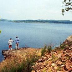
Bull Shoals Lake
11.9 km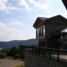
Bull Shoals-White River State Park
11.7 km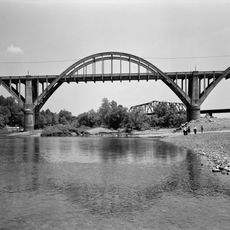
Cotter Bridge
5.2 km
Rush Historic District
18.3 km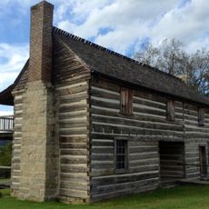
Jacob Wolf House
20 km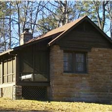
Buffalo River State Park
23.9 km
Cotter High School
2.8 km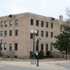
Baxter County Courthouse
11.1 km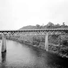
North Fork Bridge
19.8 km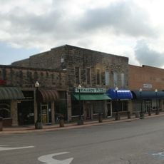
Mountain Home Commercial Historic District
11.1 km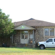
Hirst-Mathew Hall
30.5 km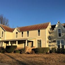
Case-Shiras-Dearmore House
11.4 km
Pea Ridge School Building
31.8 km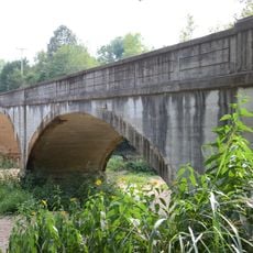
Crooked Creek Bridge
32 km
Cowdrey House
18.3 km
Cold Springs School
22.5 km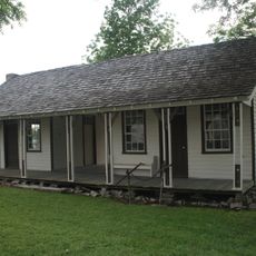
Casey House
10.7 km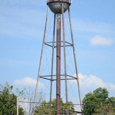
Cotter Water Tower
3.7 km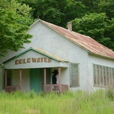
Cold Water School
25.5 km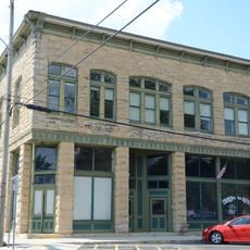
Layton Building
18.4 km
Rollins Hospital
400 m
Fairview School Building
11.8 km
Horace Mann School Historic District
20.4 km
Aggie Workshop
30.5 km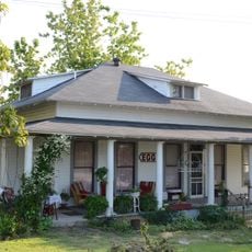
Davis House
20 km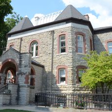
Marion County Courthouse
18.4 km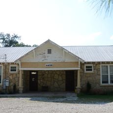
Buford School Building
6.8 km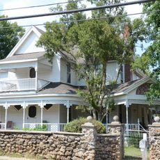
Carter-Jones House
18.4 kmReviews
Visited this place? Tap the stars to rate it and share your experience / photos with the community! Try now! You can cancel it anytime.
Discover hidden gems everywhere you go!
From secret cafés to breathtaking viewpoints, skip the crowded tourist spots and find places that match your style. Our app makes it easy with voice search, smart filtering, route optimization, and insider tips from travelers worldwide. Download now for the complete mobile experience.

A unique approach to discovering new places❞
— Le Figaro
All the places worth exploring❞
— France Info
A tailor-made excursion in just a few clicks❞
— 20 Minutes