Baxter County, Administrative county in north-central Arkansas, United States
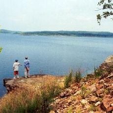
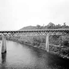
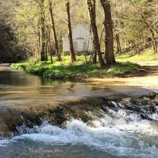
Baxter County is an administrative area in north-central Arkansas that covers several hundred square miles of mountainous terrain. The region features lakes, forests, and rolling hills typical of the Ozark landscape.
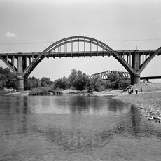
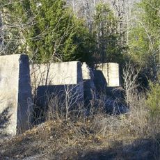
The area was established in 1873 and named after Governor Elisha Baxter, making it the 66th county in Arkansas. Early settlement began in the early 1800s when the region served as part of the frontier.
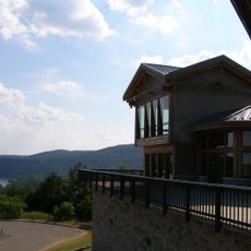
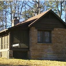
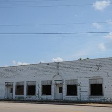
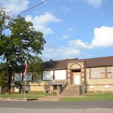
The area has been shaped by forestry and tourism that continue to influence how people spend their time here. Residents blend traditional rural life with modern community activities centered around outdoor recreation and local gatherings.
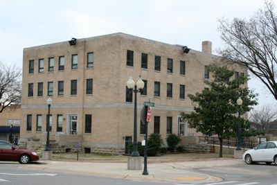
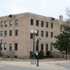
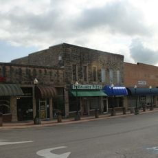
Mountain Home serves as the county seat with government offices, hospitals, and highway access via US-62 and US-412. The area is best explored by car, and visitors will find services and lodging centered in Mountain Home.
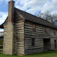
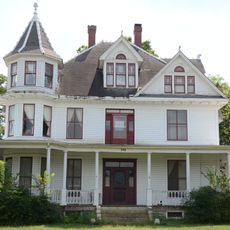
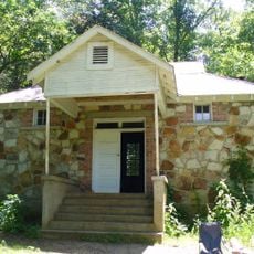
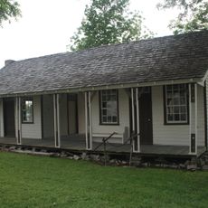
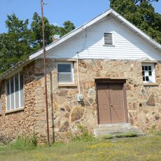
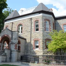
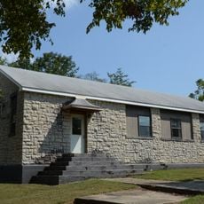
The Jacob Wolf House has stood since 1825 and ranks among the oldest surviving structures in Arkansas. Today it operates as a museum where visitors can see how people lived during the early settlement period.
Location: Arkansas
Inception: March 24, 1873
Capital city: Mountain Home
Shares border with: Ozark County, Fulton County, Izard County, Stone County, Searcy County, Marion County
Website: http://baxtercounty.org
GPS coordinates: 36.30694,-92.35472
Latest update: December 7, 2025 19:30
Bull Shoals Lake
20.8 km
Bull Shoals-White River State Park
21.1 km
Cotter Bridge
17.6 km
Rush Historic District
27.5 km
Jacob Wolf House
12.4 km
Buffalo River State Park
31.9 km
Baxter County Courthouse
4.1 km
North Fork Bridge
12.1 km
Mountain Home Commercial Historic District
4.1 km
Case-Shiras-Dearmore House
4.1 km
Cowdrey House
30.6 km
Cold Springs School
27.1 km
Casey House
3.1 km
Cotter Water Tower
16.1 km
Cold Water School
20 km
Roasting Ear Church and School
40.4 km
Rollins Hospital
12.8 km
Horace Mann School Historic District
13 km
Fairview School Building
22.7 km
Bluff Springs Church and School
42.7 km
Calico Rock Methodist Episcopal Church
28.1 km
Davis House
12.5 km
Calico Rock Historic District
28.3 km
Marion County Courthouse
30.7 km
Buford School Building
9.2 km
County Line School and Lodge
27.2 km
Carter-Jones House
30.8 km
Calico Rock Home Economics Building
29 kmVisited this place? Tap the stars to rate it and share your experience / photos with the community! Try now! You can cancel it anytime.
Discover hidden gems everywhere you go!
From secret cafés to breathtaking viewpoints, skip the crowded tourist spots and find places that match your style. Our app makes it easy with voice search, smart filtering, route optimization, and insider tips from travelers worldwide. Download now for the complete mobile experience.
A unique approach to discovering new places❞
— Le Figaro
All the places worth exploring❞
— France Info
A tailor-made excursion in just a few clicks❞
— 20 Minutes