Enable Location

We need your location to show you interesting places around you

Discover nearby places

Find interesting locations and hidden gems around you

Precise directions

Get accurate directions and distances to places

Your location is never shared with other users. It's only used when you tap the location button.

Christian County

Log in to your account

Start exploring — it's free

Trusted by 62,172 travelers worldwide

Continue with Google
Continue with Apple
or

We will send you a code to connect

By continuing, you accept our Terms and Conditions and our Privacy Policy

Check your inbox

We've sent a pincode in your inbox. Please enter the code below.

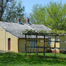
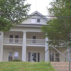
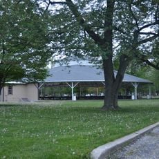
Christian County, County in central Illinois, US.

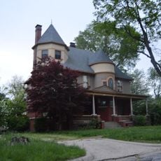
Christian County is a rural administrative division in central Illinois that spans agricultural land and includes several smaller communities. Taylorville serves as the administrative center and main town in this county.

The county was formed in 1839 from parts of Sangamon, Montgomery, and Shelby counties. Its name was derived from Christian County in Kentucky, establishing a historical connection to a neighboring eastern county.

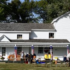
Communities here preserve agricultural traditions through local festivals and gatherings that shape community life. People regularly meet for farming events and celebrations that reflect the rural heritage of the region.

The county sits within driving distance of larger cities like Springfield, Decatur, and St. Louis, making connections to these centers relatively easy. Schools and workplaces are distributed throughout the region.

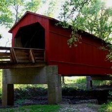
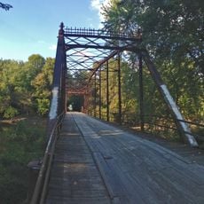
The Sangamon River forms the northern boundary and creates natural areas for fishing and water activities throughout the year. This river landscape significantly shapes the rural character of the county.

The community of curious travelers

AroundUs brings together thousands of curated places, local tips, and hidden gems, enriched daily by 60,000 contributors worldwide.

Start exploring
Location
Inception
1839
Capital city
Taylorville
Shares border with
Sangamon County, Macon County, Shelby County, Montgomery County
GPS coordinates
39.55000,-89.28000
Latest update
December 7, 2025 20:20
Around this place
Lincoln Home National Historic Site
United States of America

Lincoln Home National Historic Site

41.7 km
Camp Butler National Cemetery
United States of America

Camp Butler National Cemetery

39.5 km
Cathedral of the Immaculate Conception
United States of America

Cathedral of the Immaculate Conception

41.6 km
Sugar Creek Covered Bridge
United States of America

Sugar Creek Covered Bridge

34.3 km
Abraham Lincoln Memorial Garden
United States of America

Abraham Lincoln Memorial Garden

31.8 km
Elijah Iles House
United States of America

Elijah Iles House

41.6 km
Lincoln Colored Home
United States of America

Lincoln Colored Home

41.3 km
Bolivia Road Bridge
United States of America

Bolivia Road Bridge

24.9 km
United States of America

Sangamon County Courthouse

41.7 km
Louis Jehle House
United States of America

Louis Jehle House

25.5 km
Strawbridge-Shepherd House
United States of America

Strawbridge-Shepherd House

34.7 km
Caldwell Farmstead
United States of America

Caldwell Farmstead

40.3 km
Illinois Department of Mines and Minerals-Springfield Mine Rescue Station
United States of America

Illinois Department of Mines and Minerals-Springfield Mine Rescue Station

40.3 km
James Millikin House
United States of America

James Millikin House

42.1 km
Taylorville Chautauqua Auditorium
United States of America

Taylorville Chautauqua Auditorium

1.8 km
Town House
United States of America

Town House

41.5 km
Westervelt Christian Church
United States of America

Westervelt Christian Church

36.9 km
Illinois State Bank Building
United States of America

Illinois State Bank Building

20.1 km
Taylor Apartments
United States of America

Taylor Apartments

41.6 km
Bressmer-Baker House
United States of America

Bressmer-Baker House

41.5 km
Taylorville Courthouse Square Historic District
United States of America

Taylorville Courthouse Square Historic District

1.3 km
West End Historic District
United States of America

West End Historic District

41 km
H. P. Boult House
United States of America

H. P. Boult House

41.6 km
Joseph Ross House
United States of America

Joseph Ross House

23.6 km
Price/Wheeler House
United States of America

Price/Wheeler House

41.6 km
Trobaugh-Good House
United States of America

Trobaugh-Good House

35.8 km
Taft Farmstead
United States of America

Taft Farmstead

32.9 km
Kitchell Park
United States of America

Kitchell Park

25.6 km
Show the full map
« Christian County - County in central Illinois, US » is provided by Around Us (aroundus.com). Images and texts are derived from Wikimedia project under a Creative Commons license. You are allowed to copy, distribute, and modify copies of this page, under the conditions set by the license, as long as this note is clearly visible.

Discover hidden gems everywhere you go!

From secret cafés to breathtaking viewpoints, skip the crowded tourist spots and find places that match your style. Our app makes it easy with voice search, smart filtering, route optimization, and insider tips from travelers worldwide. Download now for the complete mobile experience.

Around Us App Screenshot

A unique approach to discovering new places

Le Figaro

All the places worth exploring

France Info

A tailor-made excursion in just a few clicks

20 Minutes

Around Us
Travel Guide & Maps
Download

Send to your phone

QR Code
1

Open the camera app on your mobile.

2

Point at the QR code with your camera. A notification will appear.

3

Tap the notification to open the link.