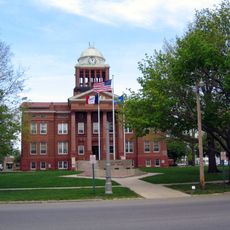
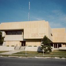
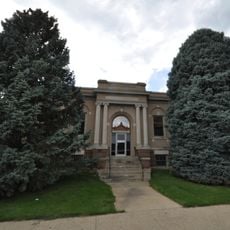
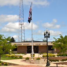
Buena Vista County, County administrative division in Iowa, United States
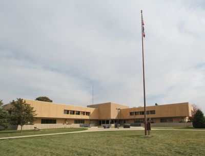
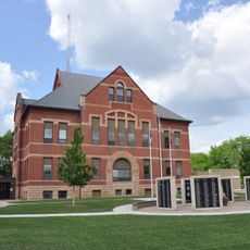
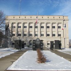
Buena Vista County is an administrative division in northwestern Iowa, covering flat to rolling farmland across its extent. Storm Lake serves as the county seat and functions as the main population and commercial center.
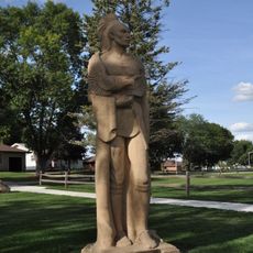
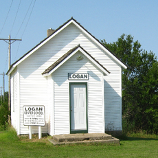
The division was established in 1851 and takes its name from the 1847 Battle of Buena Vista, a major engagement during the Mexican-American War. The military legacy connected to this name has remained part of the region's historical identity.
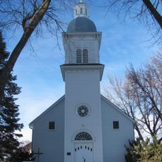
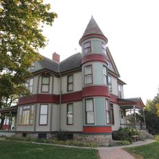
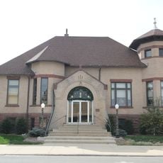
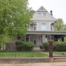
The county has transformed through migration and today hosts people from different backgrounds who shape local life. This diversity appears in the shops, restaurants, and events that reflect how communities come together in daily routines.
The area is linked by several highways, including U.S. Route 71 and Iowa highways such as 3, 7, 10, and 110, providing connections to neighboring regions. Most visitor destinations are easily accessible via these road routes.
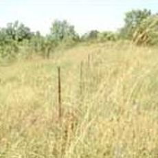
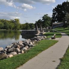
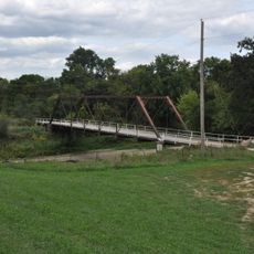
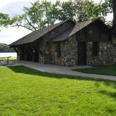
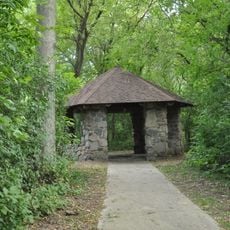
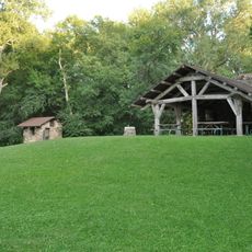
The North Raccoon River originates within this area and shapes the water landscape of the region. The river contributes to the natural character of the land and offers opportunities for water activities and nature observation.
The community of curious travelers
AroundUs brings together thousands of curated places, local tips, and hidden gems, enriched daily by 60,000 contributors worldwide.