Illinois River, Navigable river in central Illinois, United States
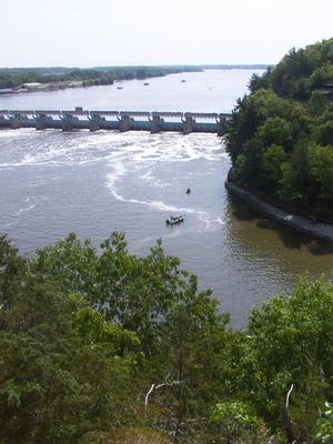
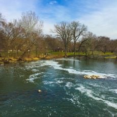
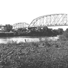
The Illinois River is a navigable waterway in central Illinois flowing from the meeting point of the Des Plaines and Kankakee to the Mississippi near Grafton. It stretches across 273 miles (440 kilometers) through farmland and wooded areas.
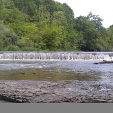
The construction of the Illinois and Michigan Canal in 1848 connected the Great Lakes directly to the Mississippi system. Later five locks and dams regulated water depth and created pools for navigation.
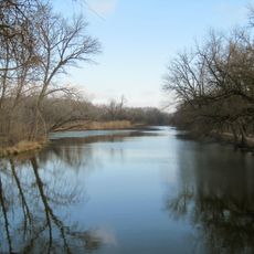
The name comes from the Illiniwek people who once lived in the forests and prairies along the waterway. Today recreational boats travel between the banks where small towns and landings reflect the rhythm of the waterway.
Several riverside paths and parks offer access to the waterway where anglers can fish for various species. The pools between the locks provide calmer sections for boaters and fishers.
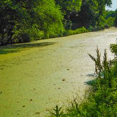
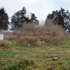
The drainage basin includes major tributaries like Fox, Vermilion and Sangamon that feed additional water into the main channel. This wide area supplies wetlands and forests along the shore zone.
The community of curious travelers
AroundUs brings together thousands of curated places, local tips, and hidden gems, enriched daily by 60,000 contributors worldwide.