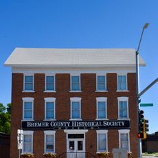
Bremer County, County division in northeastern Iowa, United States.
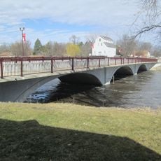
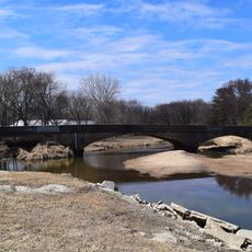
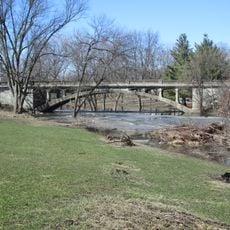
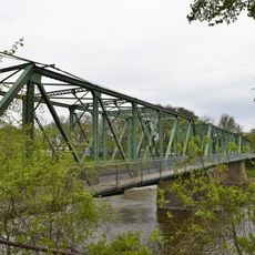
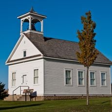
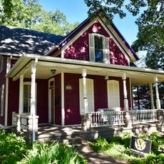
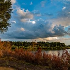
Bremer County is an administrative division in northeastern Iowa where the Cedar and Wapsipinicon rivers flow through farmland and city areas. The landscape combines agricultural regions with smaller towns like Waverly, which serves as the county's administrative center.
The county was formed in 1851 and named after Fredrika Bremer, a Swedish writer who advocated for women's rights. Its creation reflected the early American expansion into new territories during that era.
The county fair each August gathers residents at the Waverly fairgrounds for livestock shows, competitions, and community entertainment. The event reflects the farming traditions that have shaped daily life here for generations.
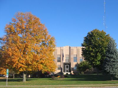
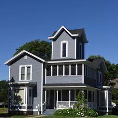
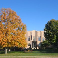
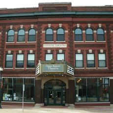
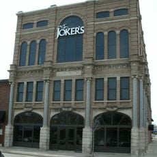
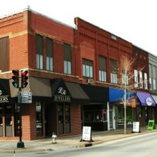
The administrative center is located in Waverly, where visitors can handle county services and access basic public facilities. The area is well-connected by roads that link towns and rural areas throughout the region.
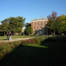
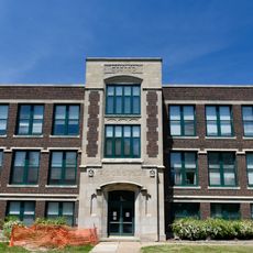
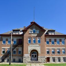
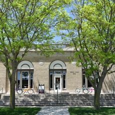
Wartburg College in Waverly stands out as one of the few major higher education institutions in the region, shaping the intellectual character of the area. The college brings students from many places and contributes to the academic life of the community.
The community of curious travelers
AroundUs brings together thousands of curated places, local tips, and hidden gems, enriched daily by 60,000 contributors worldwide.