Enable Location

We need your location to show you interesting places around you

Discover nearby places

Find interesting locations and hidden gems around you

Precise directions

Get accurate directions and distances to places

Your location is never shared with other users. It's only used when you tap the location button.

Clinton County

Log in to your account

Start exploring — it's free

Trusted by 62,596 travelers worldwide

Continue with Google
Continue with Apple
or

We will send you a code to connect

By continuing, you accept our Terms and Conditions and our Privacy Policy

Check your inbox

We've sent a pincode in your inbox. Please enter the code below.

Clinton County, Administrative county in southwestern Ohio, United States.

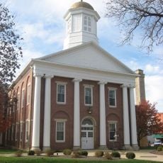
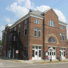
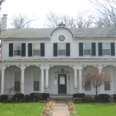
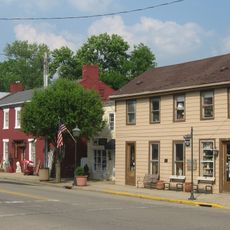
Clinton County is an administrative division in southwestern Ohio that combines rural farmland with growing urban areas. Wilmington serves as the primary community hub within this region.

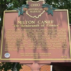
The county was created in 1810 from land taken from neighboring Highland and Warren counties. It was named in honor of George Clinton, who served as Vice President of the United States.

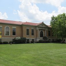
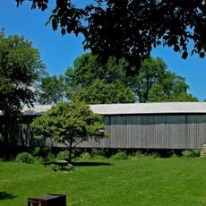
Wilmington College serves as an educational center that shapes learning opportunities for local residents and students. The institution anchors the intellectual and social life of the area through its programs and campus presence.

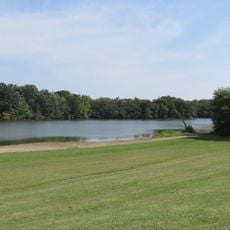
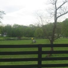
The county is accessible by road, making it easy to explore different communities and parks throughout the area. Parking and facilities are available at major destinations like Cowan Lake State Park.

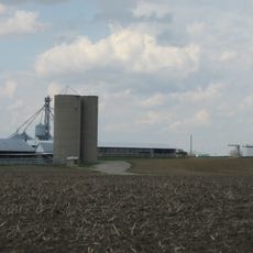
The Wilmington Air Park operates as a major industrial and logistics hub that significantly contributes to the county's economy. This facility attracts companies and creates employment opportunities for residents.

The community of curious travelers

AroundUs brings together thousands of curated places, local tips, and hidden gems, enriched daily by 60,000 contributors worldwide.

Start exploring
Location
Inception
March 1, 1810
Capital city
Wilmington
Elevation above the sea
319 m
Part of
Wilmington micropolitan statistical area
Shares border with
Greene County, Fayette County, Highland County, Brown County, Clermont County, Warren County
GPS coordinates
39.41498,-83.80838
Latest update
December 7, 2025 10:08
Around this place
Caesar Creek State Park
United States of America

Caesar Creek State Park

21.3 km
Fort Ancient
United States of America

Fort Ancient

24.3 km
Jeremiah Morrow Bridge
United States of America

Jeremiah Morrow Bridge

25.4 km
Murphy Theatre
United States of America

Murphy Theatre

3.8 km
Cowan Lake State Park
United States of America

Cowan Lake State Park

8.8 km
Ohio Soldiers' and Sailors' Orphans' Home
United States of America

Ohio Soldiers' and Sailors' Orphans' Home

29.5 km
Stonelick State Park
United States of America

Stonelick State Park

31.3 km
Cowan Lake
United States of America

Cowan Lake

8.5 km
Wilmington Public Library of Clinton County, Ohio
United States of America

Wilmington Public Library of Clinton County, Ohio

4.1 km
Beam Farm Woodland Archaeological District
United States of America

Beam Farm Woodland Archaeological District

11.3 km
Keiter Mound
United States of America

Keiter Mound

16 km
Lynchburg Covered Bridge
United States of America

Lynchburg Covered Bridge

19 km
Bone Stone Graves
United States of America

Bone Stone Graves

27.9 km
McDonald Farm
United States of America

McDonald Farm

26 km
Highland County Courthouse
United States of America

Highland County Courthouse

29.1 km
Ballard Road Covered Bridge
United States of America

Ballard Road Covered Bridge

29.3 km
Williams Stadium
United States of America

Williams Stadium

3 km
Hillside Haven Mound
United States of America

Hillside Haven Mound

12.1 km
Jamestown Opera House
United States of America

Jamestown Opera House

27.9 km
Cowan Creek Circular Enclosure
United States of America

Cowan Creek Circular Enclosure

9.2 km
Bone Mound II
United States of America

Bone Mound II

28 km
Doan House
United States of America

Doan House

3.3 km
Martinsville Road Covered Bridge
United States of America

Martinsville Road Covered Bridge

9.8 km
Waynesville Main Street Historic District
United States of America

Waynesville Main Street Historic District

27.1 km
Waynesville Greek Revival Houses
United States of America

Waynesville Greek Revival Houses

27.3 km
Kim’s Classic Diner
United States of America

Kim’s Classic Diner

16.5 km
Cowan Lake Public Beach
United States of America

Cowan Lake Public Beach

8.7 km
Milton Caniff
United States of America

Milton Caniff

28.5 km
Show the full map
Administrative divisions
« Clinton County - Administrative county in southwestern Ohio, United States » is provided by Around Us (aroundus.com). Images and texts are derived from Wikimedia project under a Creative Commons license. You are allowed to copy, distribute, and modify copies of this page, under the conditions set by the license, as long as this note is clearly visible.

Discover hidden gems everywhere you go!

From secret cafés to breathtaking viewpoints, skip the crowded tourist spots and find places that match your style. Our app makes it easy with voice search, smart filtering, route optimization, and insider tips from travelers worldwide. Download now for the complete mobile experience.

Around Us App Screenshot

A unique approach to discovering new places

Le Figaro

All the places worth exploring

France Info

A tailor-made excursion in just a few clicks

20 Minutes

Around Us
Travel Guide & Maps
Download

Send to your phone

QR Code
1

Open the camera app on your mobile.

2

Point at the QR code with your camera. A notification will appear.

3

Tap the notification to open the link.