Enable Location

We need your location to show you interesting places around you

Discover nearby places

Find interesting locations and hidden gems around you

Precise directions

Get accurate directions and distances to places

Your location is never shared with other users. It's only used when you tap the location button.

Wyoming County

Log in to your account

Start exploring — it's free

Trusted by 61,786 travelers worldwide

Continue with Google
Continue with Apple
or

We will send you a code to connect

By continuing, you accept our Terms and Conditions and our Privacy Policy

Check your inbox

We've sent a pincode in your inbox. Please enter the code below.

Wyoming County, County in western New York, United States.

Description

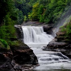
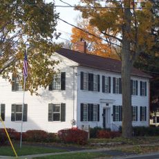
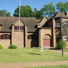
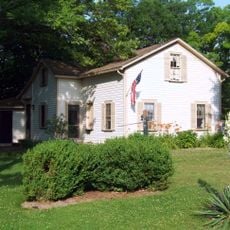
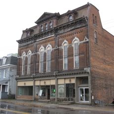
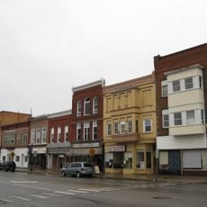
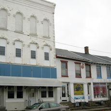
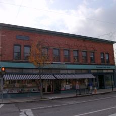
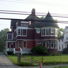
Wyoming County is a region in western New York defined by rolling countryside and productive farmland scattered with small towns. The landscape consists of agricultural fields broken by modest settlements that serve the surrounding rural areas.

History

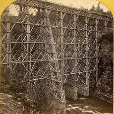
The county was established in 1841 after separating from Genesee County and emerged from a region contested between early colonial settlements and French colonial interests. This border history influenced how the area developed and its early settlement patterns.

Culture

Agriculture shapes how people live and work here, with dairy farming at the heart of daily routines and community identity. You see farms throughout the landscape, and local gatherings often revolve around this agricultural way of life.

Practical

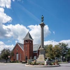
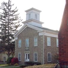
Warsaw serves as the administrative center and connects to surrounding areas through U.S. Route 20A and several state highways. These main roads provide good access for traveling through the region and visiting different parts of the county.

Did you know?

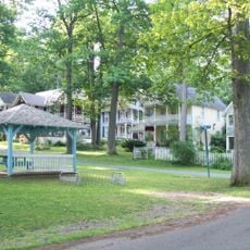
The village of Wyoming still operates gas street lamps powered by natural gas discoveries made in the area long ago. These old lamps are a rare reminder of early resource development and remain a distinctive feature of the streetscape.

Location
Inception
1841
Capital city
Warsaw
Shares border with
Erie County, Genesee County, Livingston County, Allegany County, Cattaraugus County
GPS coordinates
42.83333,-78.08333
Latest update
December 20, 2025 01:18

AroundUs brings together thousands of curated places, local tips, and hidden gems, enriched daily by 60,000 contributors worldwide. Discover all places nearby (New York).

Around this place
Letchworth State Park
United States of America

Letchworth State Park

23.6 km
Genesee Arch Bridge
United States of America

Genesee Arch Bridge

28.6 km
Monument Circle Historic District
United States of America

Monument Circle Historic District

10.8 km
United States of America

Silver Lake State Park

17.5 km
Silver Lake Institute Historic District
United States of America

Silver Lake Institute Historic District

15.8 km
Portage Viaduct
United States of America

Portage Viaduct

28.6 km
Middlebury Academy
United States of America

Middlebury Academy

833 m
Edgerley
United States of America

Edgerley

30.2 km
Epworth Hall
United States of America

Epworth Hall

15.9 km
Seth M. Gates House
United States of America

Seth M. Gates House

11.2 km
Brick Presbyterian Church
United States of America

Brick Presbyterian Church

14.2 km
First Universalist Church of Portageville
United States of America

First Universalist Church of Portageville

29.7 km
First Methodist Episcopal Church of Perry
United States of America

First Methodist Episcopal Church of Perry

14.2 km
Wyoming Village Historic District
United States of America

Wyoming Village Historic District

703 m
Bryant Fleming House
United States of America

Bryant Fleming House

736 m
Exchange Street Historic District
United States of America

Exchange Street Historic District

16.4 km
United States of America

Barna C. Roup House

14.5 km
United States of America

Java School No. 1

33.9 km
United States of America

Arcade Center Farm

41.5 km
Warsaw Academy
United States of America

Warsaw Academy

11.3 km
Warsaw Downtown Historic District
United States of America

Warsaw Downtown Historic District

11.2 km
Attica Market and Main Historic District
United States of America

Attica Market and Main Historic District

16.8 km
First Free Will Baptist Church of Pike
United States of America

First Free Will Baptist Church of Pike

31.6 km
G.A.R. Memorial Hall
United States of America

G.A.R. Memorial Hall

32.8 km
Perry Downtown Historic District
United States of America

Perry Downtown Historic District

14.4 km
Augustus A. Smith House
United States of America

Augustus A. Smith House

16.2 km
Cordelia A. Greene Library
United States of America

Cordelia A. Greene Library

22.6 km
United States of America

Oatka Theatre

10.2 km
Show the full map
« Wyoming County - County in western New York, United States » is provided by Around Us (aroundus.com). Images and texts are derived from Wikimedia project under a Creative Commons license. You are allowed to copy, distribute, and modify copies of this page, under the conditions set by the license, as long as this note is clearly visible.

Discover hidden gems everywhere you go!

From secret cafés to breathtaking viewpoints, skip the crowded tourist spots and find places that match your style. Our app makes it easy with voice search, smart filtering, route optimization, and insider tips from travelers worldwide. Download now for the complete mobile experience.

Around Us App Screenshot

A unique approach to discovering new places

Le Figaro

All the places worth exploring

France Info

A tailor-made excursion in just a few clicks

20 Minutes

Around Us
Travel Guide & Maps
Download

Send to your phone

QR Code
1

Open the camera app on your mobile.

2

Point at the QR code with your camera. A notification will appear.

3

Tap the notification to open the link.