Enable Location

We need your location to show you interesting places around you

Discover nearby places

Find interesting locations and hidden gems around you

Precise directions

Get accurate directions and distances to places

Your location is never shared with other users. It's only used when you tap the location button.

Tioga County

Log in to your account

Start exploring — it's free

Trusted by 61,786 travelers worldwide

Continue with Google
Continue with Apple
or

We will send you a code to connect

By continuing, you accept our Terms and Conditions and our Privacy Policy

Check your inbox

We've sent a pincode in your inbox. Please enter the code below.

Tioga County, Administrative county in Southern Tier, New York, United States.

Description

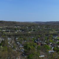
Tioga County is an administrative division in New York's Southern Tier region, encompassing several towns and villages with their own distinct qualities. A major river flows through the area, shaping the landscape of the county's larger communities.

History

The county was established in 1791 as a separate administrative entity carved from a larger territory. This founding moment set the stage for its development as an independent region.

Culture

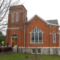
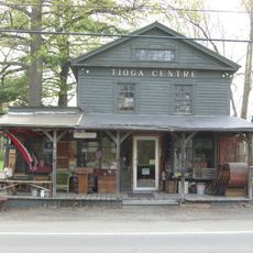
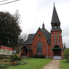
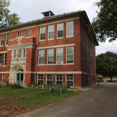
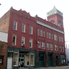
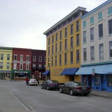
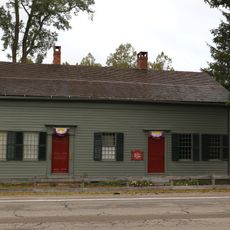
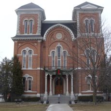
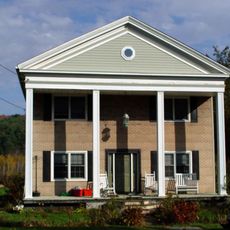
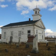
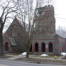
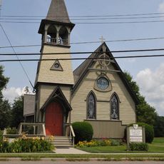
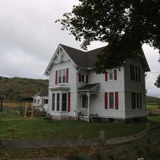
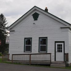
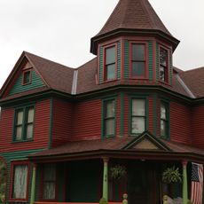
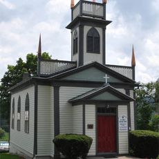
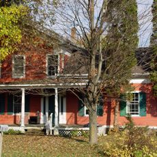
The name reflects Iroquois roots, with local communities today preserving stories of their heritage through museums and historic buildings that line the downtown areas. Walking through these towns, you see how the past remains woven into everyday places where people still gather and work.

Practical

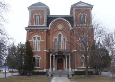
The county seat is located in Owego, where main administrative offices and services are concentrated in the downtown core. The towns here are walkable, making it easy to explore the region on foot.

Did you know?

The northern edge of this county reaches heights of around 2,000 feet (600 meters), the highest point in the Southern Tier region. This elevation creates varied landscapes and views compared to the flatter areas further south.

Location
Inception
February 16, 1791
Capital city
Owego
Shares border with
Bradford County, Cortland County, Broome County, Susquehanna County, Chemung County, Tompkins County
GPS coordinates
42.17000,-76.30000
Latest update
December 20, 2025 15:38

AroundUs brings together thousands of curated places, local tips, and hidden gems, enriched daily by 60,000 contributors worldwide. Discover all places nearby (New York).

Around this place
Buttermilk Falls State Park
United States of America

Buttermilk Falls State Park

31.8 km
First Presbyterian Church
United States of America

First Presbyterian Church

16.6 km
Evergreen Cemetery
United States of America

Evergreen Cemetery

7.6 km
Tioga Centre General Store
United States of America

Tioga Centre General Store

13.2 km
First Congregational Church
United States of America

First Congregational Church

17.3 km
Nichols High School
United States of America

Nichols High School

17.5 km
Waverly Village Hall
United States of America

Waverly Village Hall

27.3 km
Owego Central Historic District
United States of America

Owego Central Historic District

8.3 km
Bement-Billings House
United States of America

Bement-Billings House

12.4 km
Tioga County Courthouse
United States of America

Tioga County Courthouse

8.1 km
Vesper Cliff
United States of America

Vesper Cliff

8.2 km
Stephen Ball House
United States of America

Stephen Ball House

17.3 km
United States of America

Grace Episcopal Church

27.1 km
Waits Methodist Episcopal Church and Cemetery
United States of America

Waits Methodist Episcopal Church and Cemetery

18.3 km
St. Paul's Church
United States of America

St. Paul's Church

8 km
United States Post Office (Waverly, New York)
United States of America

United States Post Office (Waverly, New York)

27.3 km
Morris Clinton House
United States of America

Morris Clinton House

10.9 km
Hiawatha Farm
United States of America

Hiawatha Farm

11.3 km
James C. Beecher House
United States of America

James C. Beecher House

8.6 km
St. Thomas Episcopal Church
United States of America

St. Thomas Episcopal Church

25.2 km
United States of America

Riverside Cemetery

14.9 km
Maple Lawn Farm
United States of America

Maple Lawn Farm

14 km
District Number 7 School
United States of America

District Number 7 School

15.4 km
Gilbert E. Purple House
United States of America

Gilbert E. Purple House

11.1 km
St. John's Episcopal Church
United States of America

St. John's Episcopal Church

15.3 km
J. Ball House
United States of America

J. Ball House

17.1 km
Wade Farm
United States of America

Wade Farm

7.7 km
Belcher Family Homestead and Farm
United States of America

Belcher Family Homestead and Farm

15.7 km
Show the full map
Administrative divisions
« Tioga County - Administrative county in Southern Tier, New York, United States » is provided by Around Us (aroundus.com). Images and texts are derived from Wikimedia project under a Creative Commons license. You are allowed to copy, distribute, and modify copies of this page, under the conditions set by the license, as long as this note is clearly visible.

Discover hidden gems everywhere you go!

From secret cafés to breathtaking viewpoints, skip the crowded tourist spots and find places that match your style. Our app makes it easy with voice search, smart filtering, route optimization, and insider tips from travelers worldwide. Download now for the complete mobile experience.

Around Us App Screenshot

A unique approach to discovering new places

Le Figaro

All the places worth exploring

France Info

A tailor-made excursion in just a few clicks

20 Minutes

Around Us
Travel Guide & Maps
Download

Send to your phone

QR Code
1

Open the camera app on your mobile.

2

Point at the QR code with your camera. A notification will appear.

3

Tap the notification to open the link.