Enable Location

We need your location to show you interesting places around you

Discover nearby places

Find interesting locations and hidden gems around you

Precise directions

Get accurate directions and distances to places

Your location is never shared with other users. It's only used when you tap the location button.

Randolph County

Log in to your account

Start exploring — it's free

Trusted by 62,796 travelers worldwide

Continue with Google
Continue with Apple
or

We will send you a code to connect

By continuing, you accept our Terms and Conditions and our Privacy Policy

Check your inbox

We've sent a pincode in your inbox. Please enter the code below.

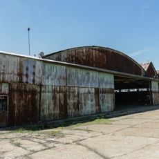
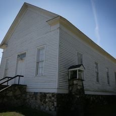
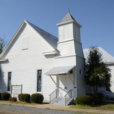
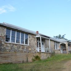
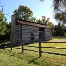
Randolph County, County administrative division in Arkansas, US

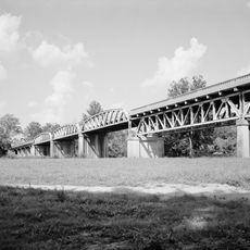
Randolph County is an administrative division in northeastern Arkansas characterized by rolling hills and river valleys throughout its terrain. The area is defined by several waterways that shape its geographical character.

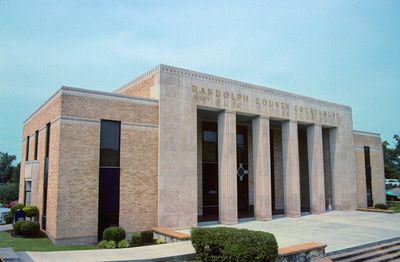
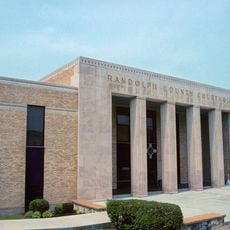
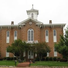
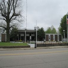
The area was officially established as a county in 1835, with Pocahontas designated as its administrative center. This founding date marks the beginning of organized administration for the region.

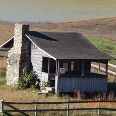
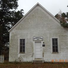
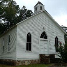
The region holds strong ties to its agricultural past, still visible in local festivals and community gatherings throughout the year. These events bring people together and show how rural traditions remain important to the community.

The area connects to surrounding regions via U.S. Highway 67 and Arkansas State Highway 115, providing good regional access. Visitors should expect rural travel times and infrastructure oriented toward local needs rather than heavy tourism.

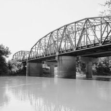
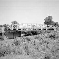
Five different rivers flow through or border the area, creating a distinctive water landscape throughout the region. This river diversity makes the terrain especially appealing for exploration and nature observation.

The community of curious travelers

AroundUs brings together thousands of curated places, local tips, and hidden gems, enriched daily by 60,000 contributors worldwide.

Start exploring
Location
Inception
October 29, 1835
Capital city
Pocahontas
Shares border with
Ripley County, Lawrence County, Clay County, Greene County, Sharp County, Oregon County
GPS coordinates
36.34472,-91.01278
Latest update
December 8, 2025 13:40
Around this place
Marine Corps Air Facility Walnut Ridge
United States of America

Marine Corps Air Facility Walnut Ridge

25.7 km
Davidsonville Historic State Park
United States of America

Davidsonville Historic State Park

21.3 km
Powhatan Historic State Park
United States of America

Powhatan Historic State Park

29 km
Eleven Point State Park
United States of America

Eleven Point State Park

33.6 km
Black River Bridge
United States of America

Black River Bridge

10.7 km
Randolph County Courthouse
United States of America

Randolph County Courthouse

10.1 km
Cache River Bridge
United States of America

Cache River Bridge

35 km
Old Randolph County Courthouse
United States of America

Old Randolph County Courthouse

10.1 km
St. Louis-San Francisco Overpass
United States of America

St. Louis-San Francisco Overpass

21 km
Hillyard Cabin
United States of America

Hillyard Cabin

15.6 km
Cedar Grove School No. 81
United States of America

Cedar Grove School No. 81

5.6 km
Lawrence County Courthouse
United States of America

Lawrence County Courthouse

31 km
Building Number 29
United States of America

Building Number 29

25.3 km
Powhatan Methodist Church
United States of America

Powhatan Methodist Church

30.8 km
Holly Grove Presbyterian Church
United States of America

Holly Grove Presbyterian Church

13.3 km
Rice-Upshaw House
United States of America

Rice-Upshaw House

12.5 km
Eddie Mae Herron Center & Museum
United States of America

Eddie Mae Herron Center & Museum

9.6 km
Portia School
United States of America

Portia School

29.4 km
Old Union School
United States of America

Old Union School

12.2 km
Williford Methodist Church
United States of America

Williford Methodist Church

32.7 km
Dr. John Octavius Hatcher House
United States of America

Dr. John Octavius Hatcher House

21.4 km
Web Long House and Motel
United States of America

Web Long House and Motel

41.4 km
Ravenden Springs School
United States of America

Ravenden Springs School

19.2 km
Imboden Methodist Episcopal Church, South
United States of America

Imboden Methodist Episcopal Church, South

21.2 km
Baynham House
United States of America

Baynham House

28.4 km
United States of America

Yadkin Church

21.3 km
Looney-French House
United States of America

Looney-French House

11.5 km
Woodland Courts
United States of America

Woodland Courts

41.5 km
Show the full map
« Randolph County - County administrative division in Arkansas, US » is provided by Around Us (aroundus.com). Images and texts are derived from Wikimedia project under a Creative Commons license. You are allowed to copy, distribute, and modify copies of this page, under the conditions set by the license, as long as this note is clearly visible.

Discover hidden gems everywhere you go!

From secret cafés to breathtaking viewpoints, skip the crowded tourist spots and find places that match your style. Our app makes it easy with voice search, smart filtering, route optimization, and insider tips from travelers worldwide. Download now for the complete mobile experience.

Around Us App Screenshot

A unique approach to discovering new places

Le Figaro

All the places worth exploring

France Info

A tailor-made excursion in just a few clicks

20 Minutes

Around Us
Travel Guide & Maps
Download

Send to your phone

QR Code
1

Open the camera app on your mobile.

2

Point at the QR code with your camera. A notification will appear.

3

Tap the notification to open the link.