Enable Location

We need your location to show you interesting places around you

Discover nearby places

Find interesting locations and hidden gems around you

Precise directions

Get accurate directions and distances to places

Your location is never shared with other users. It's only used when you tap the location button.

Powhatan Historic State Park

Log in to your account

Start exploring — it's free

Trusted by 61,910 travelers worldwide

Continue with Google
Continue with Apple
or

We will send you a code to connect

By continuing, you accept our Terms and Conditions and our Privacy Policy

Check your inbox

We've sent a pincode in your inbox. Please enter the code below.

Powhatan Historic State Park

Powhatan Historic State Park, Historic state park in Lawrence County, Arkansas

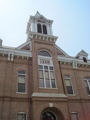
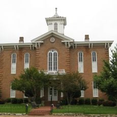
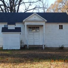
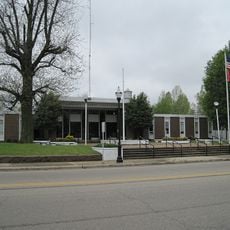
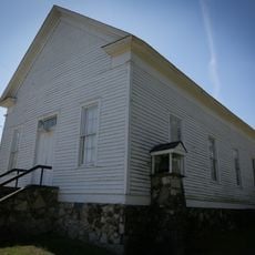
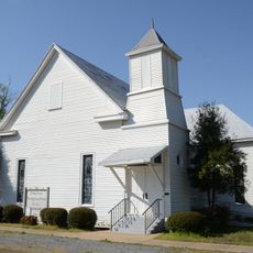
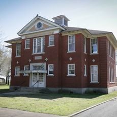
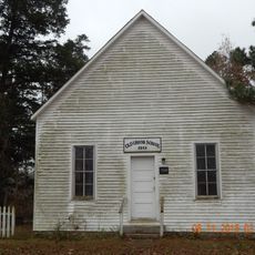
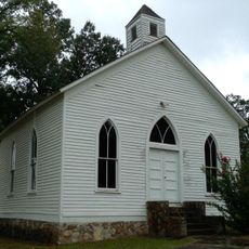
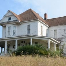
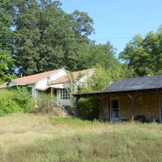
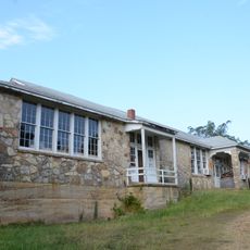
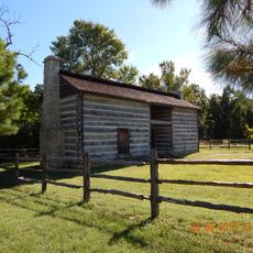
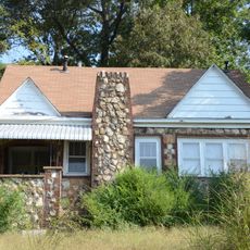
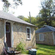
Powhatan Historic State Park is a small open-air museum with buildings from the 1800s positioned along the Black River. The site includes a courthouse, jail, schoolhouse, and homes that show what an earlier settlement looked like.

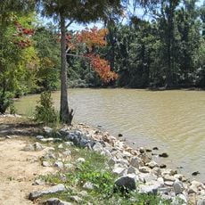
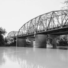
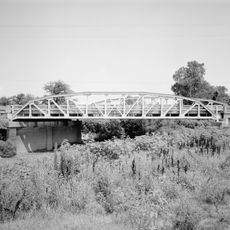
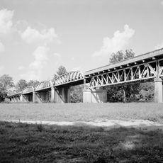
The settlement was named after a Native American leader in 1837 and grew because of river transportation. Its importance declined after 1883 when a railroad was built and replaced river trade.

The place shows how people lived and worked together in this region during the 1800s. You can see traces of daily community life through the way buildings are arranged and what they contain.

The grounds are small and easy to explore on foot, with paths leading to all the buildings. There are information signs and guided tours available to help you understand the different structures and their past.

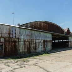
One interesting detail is the old jail building from 1873, which was later converted into a canning facility by local women's organizations. This double history shows how places reinvent themselves over time.

The community of curious travelers

AroundUs brings together thousands of curated places, local tips, and hidden gems, enriched daily by 60,000 contributors worldwide.

Start exploring
Location
Inception
1970
GPS coordinates
36.09890,-91.11940
Latest update
December 12, 2025 14:23
Around this place
Marine Corps Air Facility Walnut Ridge
United States of America

Marine Corps Air Facility Walnut Ridge

17.7 km
Davidsonville Historic State Park
United States of America

Davidsonville Historic State Park

8.5 km
Lake Frierson State Park
United States of America

Lake Frierson State Park

38.9 km
Black River Bridge
United States of America

Black River Bridge

21.9 km
Randolph County Courthouse
United States of America

Randolph County Courthouse

22.4 km
Cache River Bridge
United States of America

Cache River Bridge

26.7 km
Old Randolph County Courthouse
United States of America

Old Randolph County Courthouse

22.5 km
St. Louis-San Francisco Overpass
United States of America

St. Louis-San Francisco Overpass

12.8 km
Cedar Grove School No. 81
United States of America

Cedar Grove School No. 81

30.1 km
Building Number 29
United States of America

Building Number 29

17.5 km
Lawrence County Courthouse
United States of America

Lawrence County Courthouse

14.9 km
Powhatan Methodist Church
United States of America

Powhatan Methodist Church

1.9 km
Poughkeepsie School Building
United States of America

Poughkeepsie School Building

31.4 km
Holly Grove Presbyterian Church
United States of America

Holly Grove Presbyterian Church

25.4 km
Rice-Upshaw House
United States of America

Rice-Upshaw House

35.4 km
Eddie Mae Herron Center & Museum
United States of America

Eddie Mae Herron Center & Museum

22 km
Portia School
United States of America

Portia School

4.6 km
Old Union School
United States of America

Old Union School

18.2 km
Williford Methodist Church
United States of America

Williford Methodist Church

27.5 km
Dr. John Octavius Hatcher House
United States of America

Dr. John Octavius Hatcher House

12.6 km
Web Long House and Motel
United States of America

Web Long House and Motel

39.8 km
Ravenden Springs School
United States of America

Ravenden Springs School

25.8 km
Imboden Methodist Episcopal Church, South
United States of America

Imboden Methodist Episcopal Church, South

12.7 km
United States of America

Yadkin Church

33.2 km
Looney-French House
United States of America

Looney-French House

33.2 km
Fred Graham House
United States of America

Fred Graham House

39.9 km
Ernest Daugherty House
United States of America

Ernest Daugherty House

39.9 km
Woodland Courts
United States of America

Woodland Courts

39.9 km
Show the full map
« Powhatan Historic State Park - Historic state park in Lawrence County, Arkansas » is provided by Around Us (aroundus.com). Images and texts are derived from Wikimedia project under a Creative Commons license. You are allowed to copy, distribute, and modify copies of this page, under the conditions set by the license, as long as this note is clearly visible.

Discover hidden gems everywhere you go!

From secret cafés to breathtaking viewpoints, skip the crowded tourist spots and find places that match your style. Our app makes it easy with voice search, smart filtering, route optimization, and insider tips from travelers worldwide. Download now for the complete mobile experience.

Around Us App Screenshot

A unique approach to discovering new places

Le Figaro

All the places worth exploring

France Info

A tailor-made excursion in just a few clicks

20 Minutes

Around Us
Travel Guide & Maps
Download

Send to your phone

QR Code
1

Open the camera app on your mobile.

2

Point at the QR code with your camera. A notification will appear.

3

Tap the notification to open the link.