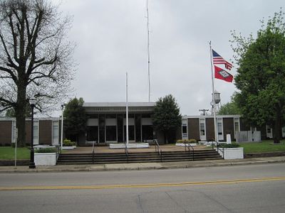
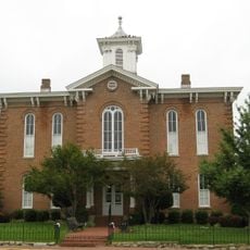
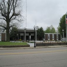
Lawrence County, County seat and administrative division in northeastern Arkansas, US.
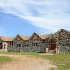
Lawrence County is an administrative division in northeastern Arkansas that spans rolling hills in its western section and fertile river bottomland toward the east. The landscape combines agricultural land with natural terrain features that shape how people live and work throughout the region.
The county was established on January 15, 1815, and played a significant role in the state's territorial expansion. Its original boundaries were divided multiple times to form thirty-one additional counties throughout Arkansas.
The Lawrence County Fair and PRCA Rodeo in August brings together residents for livestock judging, educational displays, pageants, and musical performances.
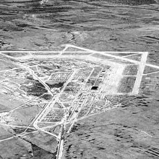
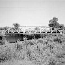
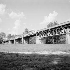
Three main highways cross through the county and connect residents to surrounding areas and trade routes. Road access makes it convenient for farmers to transport crops and goods to regional markets.
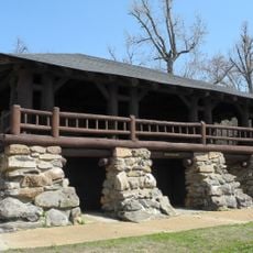
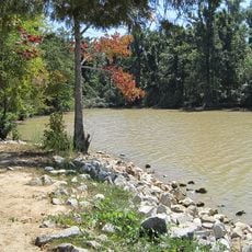
The Shirey Bay-Rainey Brake Wildlife Management Area preserves thousands of acres of protected land where waterfowl gather and fishing is a common activity. This refuge offers visitors a chance to experience wildlife and natural wetlands up close.
Location: Arkansas
Inception: January 15, 1815
Capital city: Walnut Ridge
Shares border with: Randolph County, Jackson County, Sharp County, Independence County, Greene County, Craighead County
Website: http://lawrencecountyarkansas.com
GPS coordinates: 36.03056,-91.11306
Latest update: December 8, 2025 13:44
Marine Corps Air Facility Walnut Ridge
19.9 km
Davidsonville Historic State Park
14.9 km
Crowley's Ridge State Park
40.4 km
Powhatan Historic State Park
7.6 km
Lake Frierson State Park
36.3 km
Black River Bridge
28 km
Randolph County Courthouse
28.6 km
Cache River Bridge
26.3 km
Old Randolph County Courthouse
28.7 km
St. Louis-San Francisco Overpass
20.2 km
Cedar Grove School No. 81
36.6 km
Crowley's Ridge State Park-Comfort Station
40.8 km
Crowley's Ridge State Park-Bathhouse
40.5 km
Building Number 29
19.9 km
Lawrence County Courthouse
14.6 km
Poughkeepsie School Building
32.2 km
Powhatan Methodist Church
5.8 km
Holly Grove Presbyterian Church
33 km
Eddie Mae Herron Center & Museum
28.4 km
Portia School
7.1 km
Old Union School
25.7 km
Crowley's Ridge State Park-Dining Hall
40.5 km
Williford Methodist Church
33.2 km
Crowley's Ridge State Park-Bridge
40.5 km
Dr. John Octavius Hatcher House
20 km
Ravenden Springs School
33.1 km
Imboden Methodist Episcopal Church, South
20.1 km
Looney-French House
40.8 kmVisited this place? Tap the stars to rate it and share your experience / photos with the community! Try now! You can cancel it anytime.
Discover hidden gems everywhere you go!
From secret cafés to breathtaking viewpoints, skip the crowded tourist spots and find places that match your style. Our app makes it easy with voice search, smart filtering, route optimization, and insider tips from travelers worldwide. Download now for the complete mobile experience.
A unique approach to discovering new places❞
— Le Figaro
All the places worth exploring❞
— France Info
A tailor-made excursion in just a few clicks❞
— 20 Minutes