Davidsonville Historic State Park, Archaeological site and state park in Pocahontas, US.
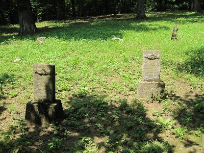
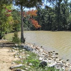
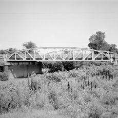
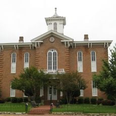
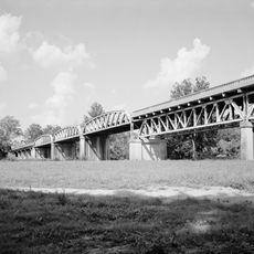
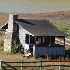
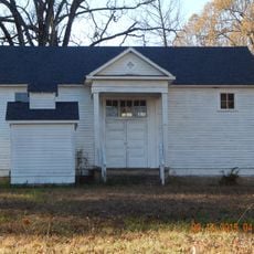
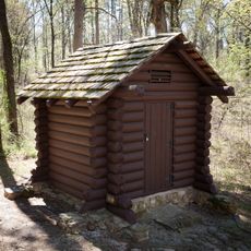
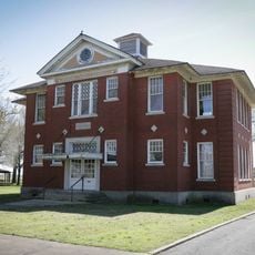
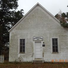
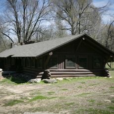
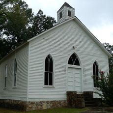
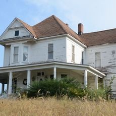
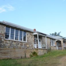
Davidsonville Historic State Park is an archaeological site along the Black River featuring remains of a frontier settlement. Reconstructed period buildings, walking trails, and a visitor center with frontier artifacts help visitors understand how the town once looked and functioned.
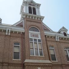
The settlement rose as Arkansas Territory's administrative center, hosting the first post office in 1817 and an early courthouse. Its decline followed when major trade routes shifted away from the region during the 1830s.
The name comes from David Atchison, an early settler whose vision shaped the community's development. Walking through the site, you can see how the reconstructed buildings and excavated areas reflect everyday life in a frontier town.
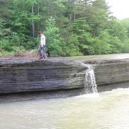
The park is open year-round and provides walking trails and scenic routes for visitors to explore the grounds at their own pace. Shaded picnic areas along the paths offer comfortable spots to rest and take in the surroundings.
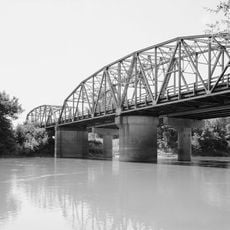
The visitor center displays a handcrafted replica of a flatboat used during the 1820s, showing how settlers and traders navigated the rivers for commerce. This vessel reveals how water routes were critical to the region's early economic life.
The community of curious travelers
AroundUs brings together thousands of curated places, local tips, and hidden gems, enriched daily by 60,000 contributors worldwide.