Enable Location

We need your location to show you interesting places around you

Discover nearby places

Find interesting locations and hidden gems around you

Precise directions

Get accurate directions and distances to places

Your location is never shared with other users. It's only used when you tap the location button.

Prairie County

Log in to your account

Start exploring — it's free

Trusted by 62,796 travelers worldwide

Continue with Google
Continue with Apple
or

We will send you a code to connect

By continuing, you accept our Terms and Conditions and our Privacy Policy

Check your inbox

We've sent a pincode in your inbox. Please enter the code below.

Prairie County, Administrative county in central Arkansas, United States

Prairie County lies between the White and Arkansas rivers in central Arkansas and covers flat delta farmland with gentle elevations in the northwest. The terrain is mostly level, typical of river valley regions, with scattered rural communities and open fields.

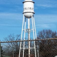
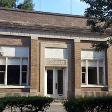
The county was established in 1846 and named after the Grand Prairie region of the area. Two government centers, Des Arc and DeValls Bluff, were created to serve as county seats from the beginning.

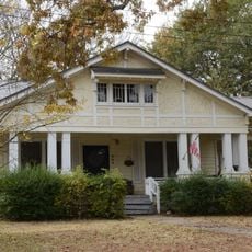
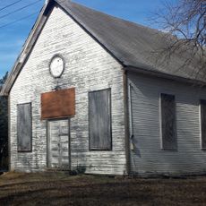
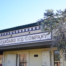
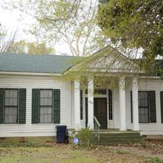
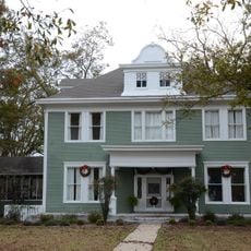
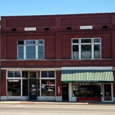
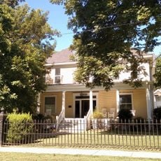
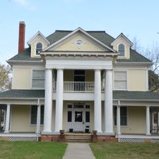
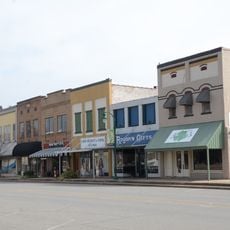
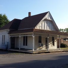
Agriculture shapes daily life here, with vast fields of cotton, rice, and soybeans dominating the landscape and catfish ponds scattered throughout the region. Visitors can observe this farming way of life reflected in the small towns and rural character of the area.

The Wattensaw Wildlife Management Area near the White River offers opportunities for fishing and hunting when conditions allow. Visitors should prepare for rural roads and small towns when exploring this agricultural region.

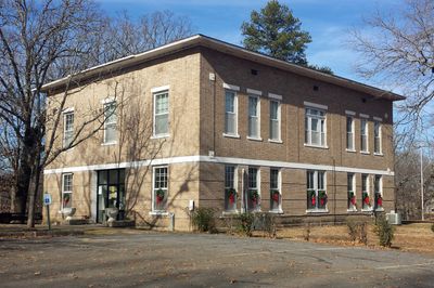
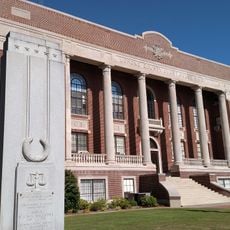
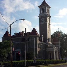
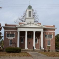
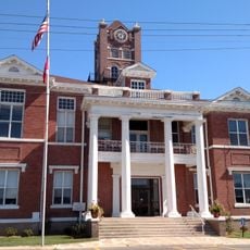
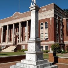
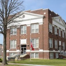
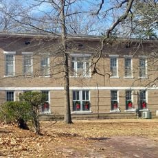
Both county seats maintain active courthouses: a 1913 Georgian building in Des Arc and a 1939 structure in DeValls Bluff that are still in use today. This dual courthouse arrangement is unusual and reflects the county's historical governance.

The community of curious travelers

AroundUs brings together thousands of curated places, local tips, and hidden gems, enriched daily by 60,000 contributors worldwide.

Start exploring
Location
Inception
1846
Capital city
Des Arc
Shares border with
White County, Arkansas County, Monroe County, Lonoke County, Woodruff County
GPS coordinates
34.82806,-91.53667
Latest update
December 10, 2025 15:53
Around this place
Bethel House
United States of America

Bethel House

16.9 km
Lonoke County Courthouse
United States of America

Lonoke County Courthouse

33.5 km
De Valls Bluff Waterworks
United States of America

De Valls Bluff Waterworks

8.4 km
St. Elizabeth's Catholic Church
United States of America

St. Elizabeth's Catholic Church

8.6 km
Highway 79 Bridge
United States of America

Highway 79 Bridge

25.3 km
Standard Ice Company Building
United States of America

Standard Ice Company Building

36.8 km
Monroe County Courthouse
United States of America

Monroe County Courthouse

25.3 km
First Presbyterian Church
United States of America

First Presbyterian Church

17 km
Bank of Clarendon
United States of America

Bank of Clarendon

24.7 km
American Legion Hut-Des Arc
United States of America

American Legion Hut-Des Arc

16.9 km
Prairie County Courthouse
United States of America

Prairie County Courthouse

17.1 km
Lonoke Confederate Monument
United States of America

Lonoke Confederate Monument

33.5 km
Cumberland Presbyterian Church
United States of America

Cumberland Presbyterian Church

25.3 km
Frith-Plunkett House
United States of America

Frith-Plunkett House

16.9 km
Trimble House
United States of America

Trimble House

33.6 km
Arkansas County Courthouse-Northern District
United States of America

Arkansas County Courthouse-Northern District

36.6 km
Bateman-Griffith House
United States of America

Bateman-Griffith House

24.8 km
Moore-Jacobs House
United States of America

Moore-Jacobs House

25 km
Jefferies-Crabtree House
United States of America

Jefferies-Crabtree House

24.8 km
Lonoke Downtown Historic District
United States of America

Lonoke Downtown Historic District

33.6 km
Marston House
United States of America

Marston House

25.3 km
Wheat House
United States of America

Wheat House

33.6 km
Joe P. Eagle and D. R. Boone Building
United States of America

Joe P. Eagle and D. R. Boone Building

33.6 km
Bedford Brown Bethell House
United States of America

Bedford Brown Bethell House

16.8 km
Orth C. Galloway House
United States of America

Orth C. Galloway House

24.9 km
Prairie County Courthouse
United States of America

Prairie County Courthouse

8.5 km
Stuttgart Commercial Historic District
United States of America

Stuttgart Commercial Historic District

36.8 km
Manning, Lee and Moore Law Office
United States of America

Manning, Lee and Moore Law Office

24.8 km
Show the full map
« Prairie County - Administrative county in central Arkansas, United States » is provided by Around Us (aroundus.com). Images and texts are derived from Wikimedia project under a Creative Commons license. You are allowed to copy, distribute, and modify copies of this page, under the conditions set by the license, as long as this note is clearly visible.

Discover hidden gems everywhere you go!

From secret cafés to breathtaking viewpoints, skip the crowded tourist spots and find places that match your style. Our app makes it easy with voice search, smart filtering, route optimization, and insider tips from travelers worldwide. Download now for the complete mobile experience.

Around Us App Screenshot

A unique approach to discovering new places

Le Figaro

All the places worth exploring

France Info

A tailor-made excursion in just a few clicks

20 Minutes

Around Us
Travel Guide & Maps
Download

Send to your phone

QR Code
1

Open the camera app on your mobile.

2

Point at the QR code with your camera. A notification will appear.

3

Tap the notification to open the link.