
Chippewa County, Administrative county in Minnesota, United States
Chippewa County extends across the Minnesota landscape with Montevideo as its capital, positioned at coordinates 45.03 latitude and -95.56 longitude.
The establishment of Chippewa County occurred on February 20, 1862, marking an early period in Minnesota's territorial organization and administrative development.
The name of the county originates from the Chippewa Native American tribe, representing the deep connection between this region and Indigenous populations.
The county administration provides residents with digital services including GIS mapping systems, property tax management, and online notifications for local government activities.
Tax-forfeited land auctions in Chippewa County create opportunities for property acquisition, with specific provisions for former owners and lienholders.
Location: Minnesota
Inception: February 20, 1862
Capital city: Montevideo
Shares border with: Swift County, Kandiyohi County, Renville County, Yellow Medicine County, Lac qui Parle County
Website: http://co.chippewa.mn.us
GPS coordinates: 45.03000,-95.56000
Latest update: March 8, 2025 04:33

Upper Sioux Agency State Park
33.9 km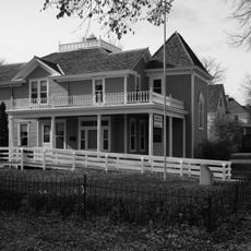
Andrew John Volstead House
24.6 km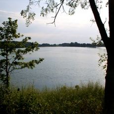
Monson Lake State Park
39.5 km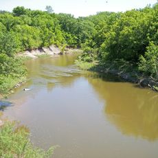
Lac qui Parle State Park
26 km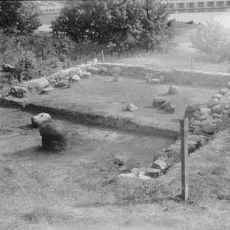
Lac qui Parle Mission
25.9 km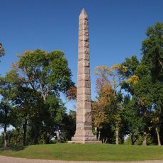
Camp Release State Monument
18.3 km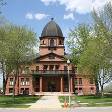
Renville County Courthouse and Jail
53.5 km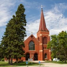
Church of St. Bridget-Catholic
26.5 km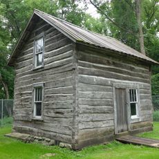
Endreson Cabin
39.6 km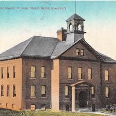
Sacred Heart Public School
32 km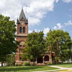
Swift County Courthouse
32.1 km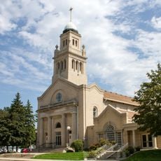
Church of St. Francis Xavier
32.2 km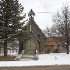
Gethsemane Episcopal Church
40.6 km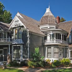
Lund–Hoel House
66.5 km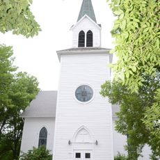
St. Paul's Evangelical Lutheran Church & Parsonage
62.2 km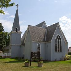
Christ Episcopal Church
32 km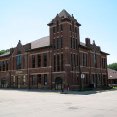
Appleton City Hall
40.7 km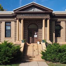
Madison Carnegie Library
49.9 km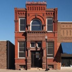
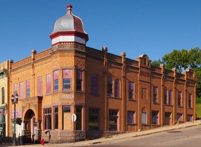
Dawson Bank Museum
40.5 km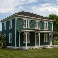
Sabin S. Murdock House
25.4 km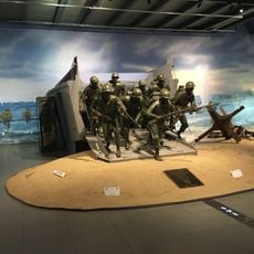
Fagen Fighters WWII Museum
31 km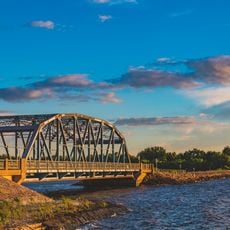
Milan Bridge
33.9 km
Lac Qui Parle County Courthouse
49.9 km
Monson Lake State Park CCC/WPA/Rustic Style Historic Resources
39.4 km
Lou T. Fisk
50.1 km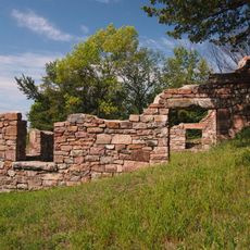
Joseph Brown House Ruins
41.6 km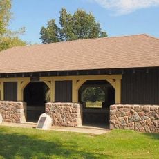
Lac qui Parle State Park WPA/Rustic Style Historic District
25.8 km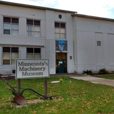
Minnesota Machinery Museum
37.9 kmReviews
Visited this place? Tap the stars to rate it and share your experience / photos with the community! Try now! You can cancel it anytime.
Discover hidden gems everywhere you go!
From secret cafés to breathtaking viewpoints, skip the crowded tourist spots and find places that match your style. Our app makes it easy with voice search, smart filtering, route optimization, and insider tips from travelers worldwide. Download now for the complete mobile experience.

A unique approach to discovering new places❞
— Le Figaro
All the places worth exploring❞
— France Info
A tailor-made excursion in just a few clicks❞
— 20 Minutes