Clinton County

Log in to your account

AroundUs is a community-driven map of interesting places, built by curious explorers like you. It grows with every review, story, and photo you share.
Connect to save your favorite spots, contribute locations, and create personalized routes.
Continue with Google
Continue with Apple
Continue with X
Continue with Facebook
Continue with email
By continuing, you accept our Terms and Conditions and our Privacy Policy
Create an account
Add to collection
Map
Suggest a change
Share

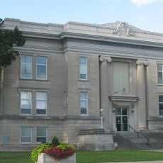
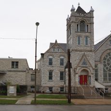
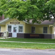
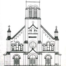
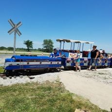
Clinton County, County and administrative division in Illinois, United States.

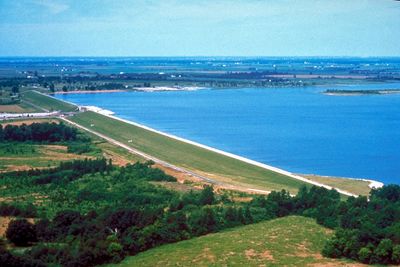
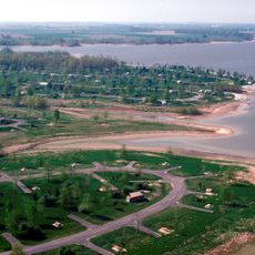
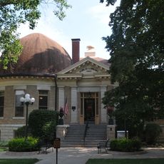
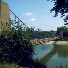
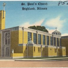
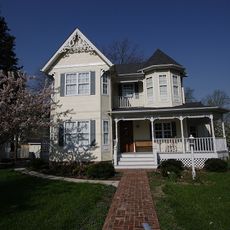
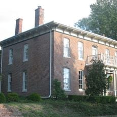
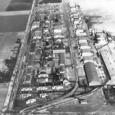
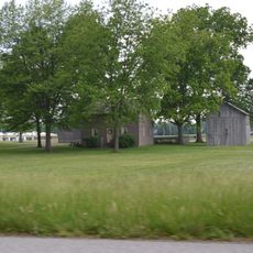
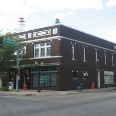
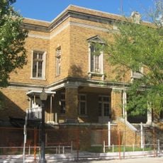
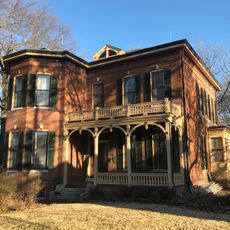
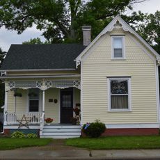
Clinton County is an administrative area in south-central Illinois that encompasses rural countryside and small towns spread across the landscape. The county contains mixed terrain with croplands, pastures, and scattered residential communities.

The county was established in 1824 from portions of neighboring administrative areas. It was named after DeWitt Clinton, a figure important to American infrastructure development.

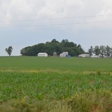
The area is rooted in farming practices, with dairy operations, hog raising, and grain fields shaping daily life across the county. You see these activities woven throughout the landscape wherever you travel here.

The area is accessible by state highways that connect to nearby towns and surrounding regions. A car is necessary for exploring, since this is rural territory with limited public transportation options.

In 1960, federal census officials calculated that this county contained the geographic center point of the entire American population. This statistical coincidence briefly put the region on the national map for a unique reason.

Location: Illinois

Inception: December 27, 1824

Capital city: Carlyle

Shares border with: Madison County, Washington County, Bond County, Fayette County, Marion County, St. Clair County

Website: https://clintonco.illinois.gov

GPS coordinates: 38.61000,-89.42000

Latest update: December 7, 2025 19:23

Photos
Around this place
Interstate 64
United States of America

Interstate 64

36.6 km
Carlyle Lake
United States of America

Carlyle Lake

5.9 km
Emerald Mound and Village Site
United States of America

Emerald Mound and Village Site

31.9 km
Greenville Public Library
United States of America

Greenville Public Library

31.1 km
General Dean Suspension Bridge
United States of America

General Dean Suspension Bridge

5.4 km
Washington County State Recreation Area
United States of America

Washington County State Recreation Area

36.3 km
United States of America

Third principal meridian

28.4 km
St. Paul Catholic Church
United States of America

St. Paul Catholic Church

26.5 km
Lebanon Historic District
United States of America

Lebanon Historic District

34.1 km
Heritage House Museum
United States of America

Heritage House Museum

22.6 km
William Jennings Bryan Boyhood Home
United States of America

William Jennings Bryan Boyhood Home

41.1 km
James C. Twiss House
United States of America

James C. Twiss House

16.2 km
Badollet House
United States of America

Badollet House

41.1 km
Scott Field Historic District
United States of America

Scott Field Historic District

39.3 km
Berger-Kiel House
United States of America

Berger-Kiel House

35.9 km
Marion County Courthouse
United States of America

Marion County Courthouse

41.4 km
Clinton County Courthouse
United States of America

Clinton County Courthouse

4.5 km
Charles and Naomi Bachmann House
United States of America

Charles and Naomi Bachmann House

41.1 km
Centralia Commercial Historic District
United States of America

Centralia Commercial Historic District

26.5 km
Washington County Courthouse
United States of America

Washington County Courthouse

29.8 km
Sentinel Building
United States of America

Sentinel Building

26.7 km
Centralia Elks Lodge
United States of America

Centralia Elks Lodge

26.7 km
Tiedemann House
United States of America

Tiedemann House

43 km
George Draser, Jr., Houses
United States of America

George Draser, Jr., Houses

35.7 km
Methodist Episcopal Church
United States of America

Methodist Episcopal Church

41.4 km
Marine Chapter House
United States of America

Marine Chapter House

36.2 km
Kościół św. Michała Archanioła w Radomiu
United States of America

Kościół św. Michała Archanioła w Radomiu

41.5 km
American Farm Heritage Museum
United States of America

American Farm Heritage Museum

29.6 km
Show the full map
Reviews

Visited this place? Tap the stars to rate it and share your experience / photos with the community! Try now! You can cancel it anytime.

« Clinton County - County and administrative division in Illinois, United States » is provided by Around Us (aroundus.com). Images and texts are derived from Wikimedia project under a Creative Commons license. You are allowed to copy, distribute, and modify copies of this page, under the conditions set by the license, as long as this note is clearly visible.

Discover hidden gems everywhere you go!

From secret cafés to breathtaking viewpoints, skip the crowded tourist spots and find places that match your style. Our app makes it easy with voice search, smart filtering, route optimization, and insider tips from travelers worldwide. Download now for the complete mobile experience.

Around Us App Screenshot

A unique approach to discovering new places

Le Figaro

All the places worth exploring

France Info

A tailor-made excursion in just a few clicks

20 Minutes