Cherokee

Log in to your account

AroundUs is a community-driven map of interesting places, built by curious explorers like you. It grows with every review, story, and photo you share.
Connect to save your favorite spots, contribute locations, and create personalized routes.
Continue with Google
Continue with Apple
Continue with X
Continue with Facebook
Continue with email
By continuing, you accept our Terms and Conditions and our Privacy Policy
Create an account
Add to collection
Map
Suggest a change
Share

Cherokee, Census-designated place in Swain County, North Carolina.

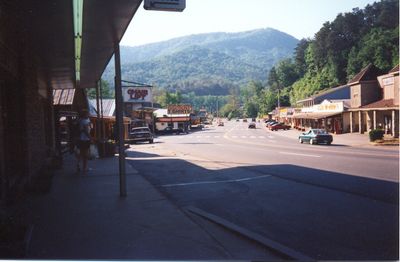
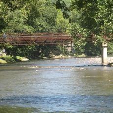
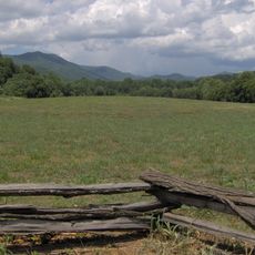
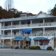
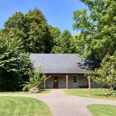
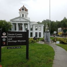
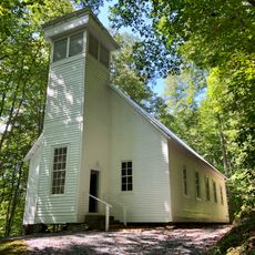
Cherokee is a census-designated place in Swain County, North Carolina, situated in the Oconaluftee River Valley where U.S. Routes 19 and 441 converge. The community occupies the Qualla Boundary, a territory surrounded by the Great Smoky Mountains National Park.

The Eastern Band of Cherokee Indians purchased the land that became Qualla Boundary in the 1870s, establishing their permanent home in the region after forced displacement. This territory has remained the administrative and cultural center for the community ever since.

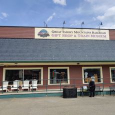
Residents and visitors encounter Cherokee syllabary alongside English on storefronts, signs, and buildings throughout the community, keeping the ancestral language woven into daily life. This bilingual presence reflects how the place functions as a center for Indigenous identity and traditions.

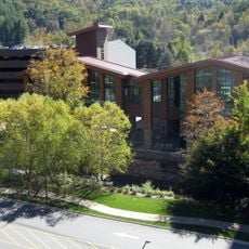
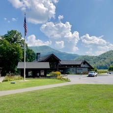
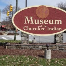
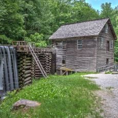
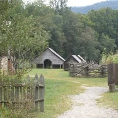
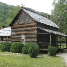
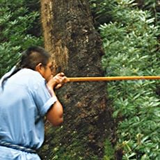
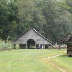
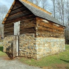
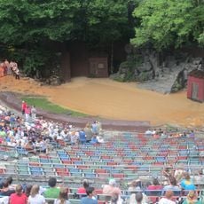
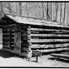
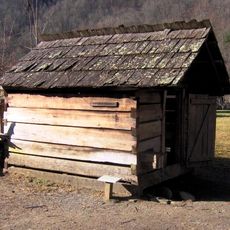
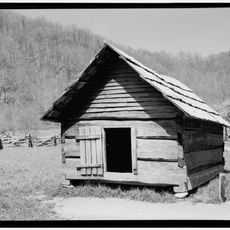
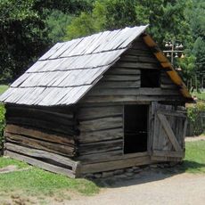
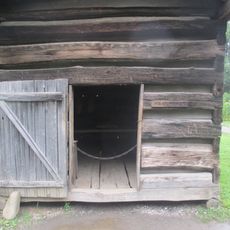
The Museum of the Cherokee Indian and Oconaluftee Indian Village are open year-round and provide direct experience with Native American traditions, crafts, and daily life. Both locations allow visitors to walk through and observe reconstructed or preserved settings that show how people lived.

Cherokee Central Schools operates an immersion program where students learn the ancestral language as part of their daily classroom experience. This approach keeps the language active in young people's minds rather than just preserving it in books.

Location: Swain County

GPS coordinates: 35.47694,-83.32056

Latest update: December 14, 2025 17:45

Photos
Around this place
Harrah's Cherokee
United States of America

Harrah's Cherokee

1.6 km
Oconaluftee Valley
United States of America

Oconaluftee Valley

4.5 km
Kituwa
United States of America

Kituwa

11.3 km
Mingo Falls
United States of America

Mingo Falls

7.4 km
Oconaluftee Visitor Center
United States of America

Oconaluftee Visitor Center

4.2 km
Museum of the Cherokee Indian
United States of America

Museum of the Cherokee Indian

933 m
The Jarrett House
United States of America

The Jarrett House

13.5 km
Swain County Courthouse
United States of America

Swain County Courthouse

12.6 km
Abel Hyatt House
United States of America

Abel Hyatt House

8.2 km
Elias Brendle Monteith House and Outbuildings
United States of America

Elias Brendle Monteith House and Outbuildings

13.5 km
Mingus Mill
United States of America

Mingus Mill

4.9 km
Mountain Farm Museum
United States of America

Mountain Farm Museum

4.2 km
John Davis House
United States of America

John Davis House

4.2 km
Smokemont Bridge
United States of America

Smokemont Bridge

8.5 km
Oconaluftee Ranger Station
United States of America

Oconaluftee Ranger Station

4.3 km
Great Smoky Mountains Railroad Retail Store & Train Museum
United States of America

Great Smoky Mountains Railroad Retail Store & Train Museum

12.5 km
Oconaluftee Indian Village
United States of America

Oconaluftee Indian Village

1.1 km
Swain County Visitor Center and Heritage Museum
United States of America

Swain County Visitor Center and Heritage Museum

12.5 km
Oconaluftee Baptist Church
United States of America

Oconaluftee Baptist Church

8.6 km
Oconaluftee Archeological District
United States of America

Oconaluftee Archeological District

4.5 km
Enloe Barn
United States of America

Enloe Barn

4.2 km
Apple House
United States of America

Apple House

4.2 km
Mountainside Theatre
United States of America

Mountainside Theatre

1.1 km
Blacksmith Shop
United States of America

Blacksmith Shop

4.2 km
Springhouse
United States of America

Springhouse

4.2 km
Corn Crib
United States of America

Corn Crib

4.2 km
Chicken House
United States of America

Chicken House

4.2 km
Meathouse
United States of America

Meathouse

4.2 km
Show the full map
Reviews

Visited this place? Tap the stars to rate it and share your experience / photos with the community! Try now! You can cancel it anytime.

« Cherokee - Census-designated place in Swain County, North Carolina » is provided by Around Us (aroundus.com). Images and texts are derived from Wikimedia project under a Creative Commons license. You are allowed to copy, distribute, and modify copies of this page, under the conditions set by the license, as long as this note is clearly visible.

Discover hidden gems everywhere you go!

From secret cafés to breathtaking viewpoints, skip the crowded tourist spots and find places that match your style. Our app makes it easy with voice search, smart filtering, route optimization, and insider tips from travelers worldwide. Download now for the complete mobile experience.

Around Us App Screenshot

A unique approach to discovering new places

Le Figaro

All the places worth exploring

France Info

A tailor-made excursion in just a few clicks

20 Minutes