Enable Location

We need your location to show you interesting places around you

Discover nearby places

Find interesting locations and hidden gems around you

Precise directions

Get accurate directions and distances to places

Your location is never shared with other users. It's only used when you tap the location button.

Carroll County

Log in to your account

Start exploring — it's free

Trusted by 61,979 travelers worldwide

Continue with Google
Continue with Apple
or

We will send you a code to connect

By continuing, you accept our Terms and Conditions and our Privacy Policy

Check your inbox

We've sent a pincode in your inbox. Please enter the code below.

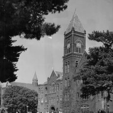
Carroll County, County administrative division in Missouri, United States

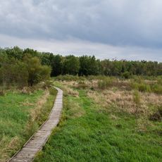
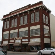
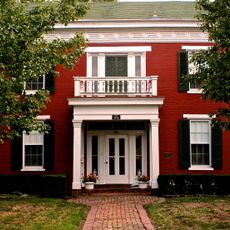
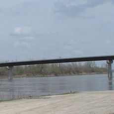
Carroll County is a county in north-central Missouri situated between the Missouri River and the Grand River. The landscape consists of rural areas with extensive farmland and small towns that serve the surrounding agricultural communities.

The county was established on January 2, 1833, by the Missouri State Legislature, created from parts of Ray County during westward expansion. Early settlement and development focused on opening the land for farming and establishing rural communities.

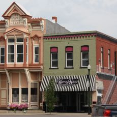
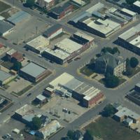
The community here is deeply rooted in farming traditions and rural life, which shape how people organize their towns and relate to the land. Walking through the small communities, you notice how agriculture influences local identity and daily rhythms.

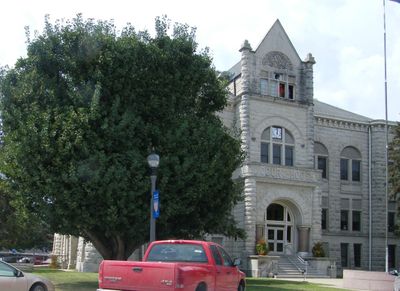
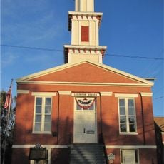
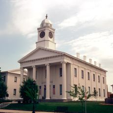
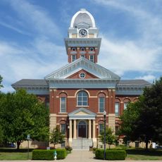
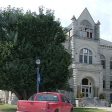
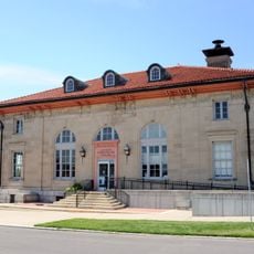
The county courthouse in Carrollton handles vehicle registrations, property taxes, and official administrative matters. Most services are available during standard business hours, so plan your visit accordingly.

The area is known for substantial soybean and corn production, which has shaped the regional economy for generations. This agricultural focus has deeply influenced local infrastructure and how communities organize around harvest cycles.

The community of curious travelers

AroundUs brings together thousands of curated places, local tips, and hidden gems, enriched daily by 60,000 contributors worldwide.

Start exploring
Location
Inception
January 2, 1833
Capital city
Carrollton
Shares border with
Livingston County, Lafayette County, Saline County, Chariton County, Ray County, Caldwell County
GPS coordinates
39.43000,-93.50000
Latest update
December 8, 2025 13:43
Around this place
Battle of Lexington State Historic Site
United States of America

Battle of Lexington State Historic Site

41.8 km
Van Meter State Park
United States of America

Van Meter State Park

26.8 km
Pershing State Park
United States of America

Pershing State Park

44 km
Cumberland Presbyterian Church
United States of America

Cumberland Presbyterian Church

42.5 km
Lafayette County Courthouse
United States of America

Lafayette County Courthouse

42.6 km
Swan Lake National Wildlife Refuge
United States of America

Swan Lake National Wildlife Refuge

33.6 km
Miami Bridge
United States of America

Miami Bridge

26.2 km
Baity Hall
United States of America

Baity Hall

44.7 km
Fitzgibbon Hospital
United States of America

Fitzgibbon Hospital

44.3 km
Waddell House
United States of America

Waddell House

42.3 km
Courthouse Square Historic District
United States of America

Courthouse Square Historic District

40.8 km
Saline County Courthouse
United States of America

Saline County Courthouse

43.2 km
Highland Avenue Historic District
United States of America

Highland Avenue Historic District

42.3 km
Buckner House
United States of America

Buckner House

43.4 km
First Presbyterian Church
United States of America

First Presbyterian Church

48.4 km
First Presbyterian Church
United States of America

First Presbyterian Church

43.3 km
Old Fort
United States of America

Old Fort

26.8 km
Carroll County Court House
United States of America

Carroll County Court House

8 km
Farmers Bank Building
United States of America

Farmers Bank Building

20.8 km
Wilcoxson and Company Bank
United States of America

Wilcoxson and Company Bank

8 km
Grace Episcopal Church
United States of America

Grace Episcopal Church

40.4 km
Chillicothe Commercial Historic District
United States of America

Chillicothe Commercial Historic District

40.6 km
Old Neighborhoods Historic District
United States of America

Old Neighborhoods Historic District

42.2 km
United States Post Office
United States of America

United States Post Office

8.3 km
Redding-Hill House
United States of America

Redding-Hill House

48.4 km
Russell Sunflower Patch
United States of America

Russell Sunflower Patch

38.1 km
Waverly Bridge
United States of America

Waverly Bridge

23.8 km
Wentworth Military Academy and College
United States of America

Wentworth Military Academy and College

42 km
Show the full map
Administrative divisions
« Carroll County - County administrative division in Missouri, United States » is provided by Around Us (aroundus.com). Images and texts are derived from Wikimedia project under a Creative Commons license. You are allowed to copy, distribute, and modify copies of this page, under the conditions set by the license, as long as this note is clearly visible.

Discover hidden gems everywhere you go!

From secret cafés to breathtaking viewpoints, skip the crowded tourist spots and find places that match your style. Our app makes it easy with voice search, smart filtering, route optimization, and insider tips from travelers worldwide. Download now for the complete mobile experience.

Around Us App Screenshot

A unique approach to discovering new places

Le Figaro

All the places worth exploring

France Info

A tailor-made excursion in just a few clicks

20 Minutes

Around Us
Travel Guide & Maps
Download

Send to your phone

QR Code
1

Open the camera app on your mobile.

2

Point at the QR code with your camera. A notification will appear.

3

Tap the notification to open the link.