
Holt County, County in Nebraska, United States
Holt County encompasses 626,300 hectares of territory in Nebraska, featuring a mixture of agricultural lands and water bodies across its expansive landscape.
The establishment of Holt County in 1876 marked a significant period of territorial organization and settlement expansion throughout the Nebraska region.
The residents of Holt County maintain strong agricultural traditions through local farming practices, community events, and seasonal celebrations in O'Neill.
The county administration, based in O'Neill, provides governmental services and maintains public facilities for its population of over 10,000 residents.
Located at coordinates 42.46°N and 98.78°W, Holt County includes 1,300 hectares of water bodies distributed throughout its territory.
Location: Nebraska
Inception: 1876
Capital city: O'Neill
Shares border with: Boyd County, Wheeler County, Garfield County, Loup County, Keya Paha County, Rock County, Knox County, Antelope County
Website: http://co.holt.ne.us
GPS coordinates: 42.46000,-98.78000
Latest update: March 6, 2025 20:48
Ashfall Fossil Beds
51.2 km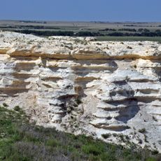
Niobrara Formation
68.5 km
Niobrara State Park
66.9 km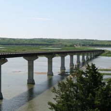
Chief Standing Bear Memorial Bridge
73.4 km
White Horse Ranch
51.6 km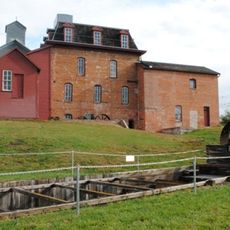
Neligh Mill
72 km
Carns State Aid Bridge
65 km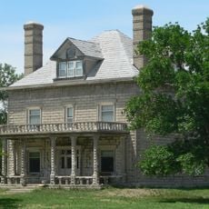
A.T. Ranch Headquarters
61.5 km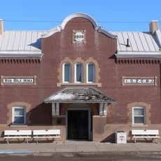
Z.C.B.J. Opera House
63.1 km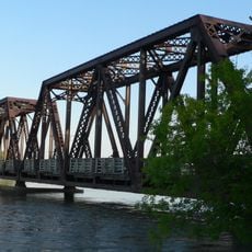
Niobrara River Bridge
69 km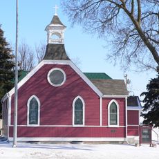
St. Peter's Episcopal Church
72 km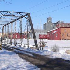
Neligh Mill Bridge
72.1 km
Knox County Courthouse
75.9 km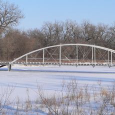
Elkhorn River Bridge
63.4 km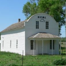
Rad Sladkovsky
55.2 km
Rouse Ranch
30 km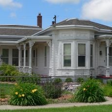
Brantly Sturdevant House
18 km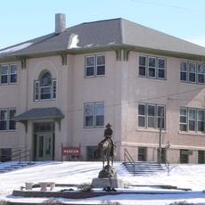
Former Wheeler County Courthouse
66.8 km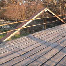
Verdigris Creek Bridge
56.5 km
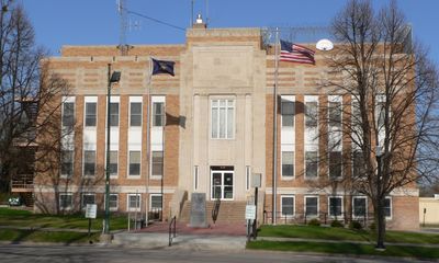
Holt County Courthouse
10.9 km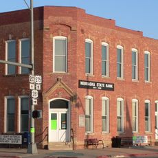
Old Nebraska State Bank Building
10.9 km
Ponca Tribal Self-Help Community Building Historic District
63.5 km
Rock County Courthouse
63.5 km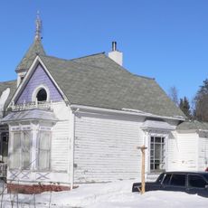
Maybury–McPherson House
72.4 km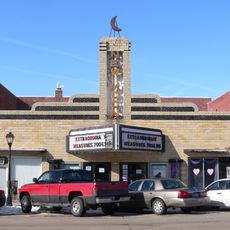
New Moon Theater
72 km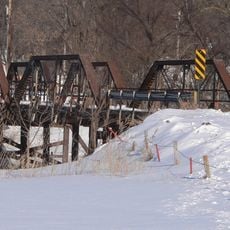
Bazile Creek Bridge
75.7 km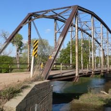
Gross State Aid Bridge
64.2 km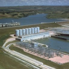
Lake Francis Case
69.1 kmReviews
Visited this place? Tap the stars to rate it and share your experience / photos with the community! Try now! You can cancel it anytime.
Discover hidden gems everywhere you go!
From secret cafés to breathtaking viewpoints, skip the crowded tourist spots and find places that match your style. Our app makes it easy with voice search, smart filtering, route optimization, and insider tips from travelers worldwide. Download now for the complete mobile experience.

A unique approach to discovering new places❞
— Le Figaro
All the places worth exploring❞
— France Info
A tailor-made excursion in just a few clicks❞
— 20 Minutes