Enable Location

We need your location to show you interesting places around you

Discover nearby places

Find interesting locations and hidden gems around you

Precise directions

Get accurate directions and distances to places

Your location is never shared with other users. It's only used when you tap the location button.

Sullivan County

Log in to your account

Start exploring — it's free

Trusted by 61,976 travelers worldwide

Continue with Google
Continue with Apple
or

We will send you a code to connect

By continuing, you accept our Terms and Conditions and our Privacy Policy

Check your inbox

We've sent a pincode in your inbox. Please enter the code below.

Sullivan County, County in northern Missouri, United States

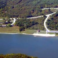
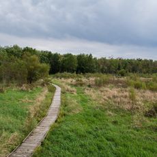
Sullivan County is an administrative division in northern Missouri that contains several small communities and rural townships. The landscape is shaped by two main waterways, Medicine Creek and Locust Creek, which flow through the region.

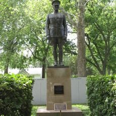
The county was established on February 14, 1845, and named after Major General John Sullivan, a significant military leader during the American Revolutionary War. This reflected a broader effort to settle and organize Missouri's northern frontier during the 1800s.

Several school districts, including Green City R-I and Milan C-2, provide education services to the residents of Sullivan County across multiple communities.

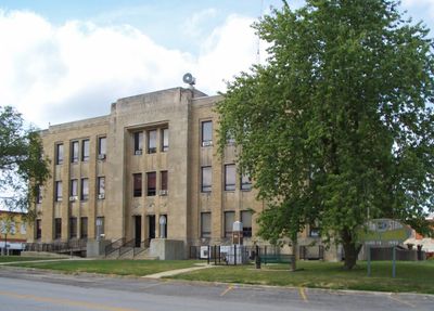
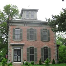
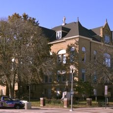
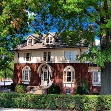
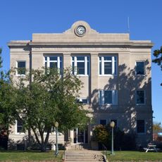
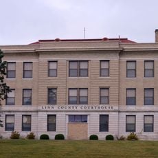
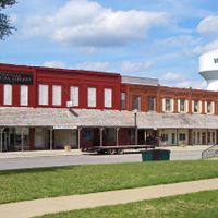
Milan serves as the county seat and is home to the courthouse and main government offices for the area. Visitors exploring the county will find this town a useful reference point for basic services and local information.

The construction of the second courthouse in Milan in 1858 required removing an Indian mound that once stood at the center of town. This action erased an important trace of earlier settlement and reveals much about how the frontier was transformed during this period.

The community of curious travelers

AroundUs brings together thousands of curated places, local tips, and hidden gems, enriched daily by 60,000 contributors worldwide.

Start exploring
Location
Inception
1845
Capital city
Milan
Shares border with
Putnam County, Linn County, Adair County, Grundy County, Mercer County
GPS coordinates
40.21000,-93.11000
Latest update
December 10, 2025 15:55
Around this place
Walt Disney Hometown Museum
United States of America

Walt Disney Hometown Museum

56.7 km
Thousand Hills State Park
United States of America

Thousand Hills State Park

40.2 km
Locust Creek Covered Bridge State Historic Site
United States of America

Locust Creek Covered Bridge State Historic Site

47.8 km
Pershing State Park
United States of America

Pershing State Park

51 km
Gen. John J. Pershing Boyhood Home State Historic Site
United States of America

Gen. John J. Pershing Boyhood Home State Historic Site

47.2 km
Crowder State Park
United States of America

Crowder State Park

48.5 km
Capt. Thomas C. Harris House
United States of America

Capt. Thomas C. Harris House

44.9 km
Bear Creek Baptist Church
United States of America

Bear Creek Baptist Church

41.3 km
Masonic Temple
United States of America

Masonic Temple

44.9 km
Trinity Episcopal Church
United States of America

Trinity Episcopal Church

45.1 km
Courthouse Square Historic District
United States of America

Courthouse Square Historic District

59.7 km
United States of America

Nelson Round Barn

58.8 km
Journal Printing Company Building
United States of America

Journal Printing Company Building

44.7 km
Kirksville Courthouse Square Historic District
United States of America

Kirksville Courthouse Square Historic District

44.8 km
Adair County Courthouse
United States of America

Adair County Courthouse

44.8 km
Cabins Historic District
United States of America

Cabins Historic District

36 km
William P. Hall House
United States of America

William P. Hall House

60.4 km
Porter Hall
United States of America

Porter Hall

61.1 km
Dr. E. Sanborn Smith House
United States of America

Dr. E. Sanborn Smith House

44.9 km
Orie J. Smith Black and White Stock Farm Historic District
United States of America

Orie J. Smith Black and White Stock Farm Historic District

46.9 km
Grace Episcopal Church
United States of America

Grace Episcopal Church

59.3 km
Chillicothe Commercial Historic District
United States of America

Chillicothe Commercial Historic District

59.9 km
Sturdivant-Sawyer House
United States of America

Sturdivant-Sawyer House

61.1 km
Unionville Square Historic District
United States of America

Unionville Square Historic District

31.1 km
Depot Inn & Suites
United States of America

Depot Inn & Suites

56.3 km
Linn County Courthouse
United States of America

Linn County Courthouse

37.4 km
Locust Creek Covered Bridge
United States of America

Locust Creek Covered Bridge

47.8 km
Thousand Hills State Park Petroglyphs Archeological Site
United States of America

Thousand Hills State Park Petroglyphs Archeological Site

40 km
Show the full map
Administrative divisions
« Sullivan County - County in northern Missouri, United States » is provided by Around Us (aroundus.com). Images and texts are derived from Wikimedia project under a Creative Commons license. You are allowed to copy, distribute, and modify copies of this page, under the conditions set by the license, as long as this note is clearly visible.

Discover hidden gems everywhere you go!

From secret cafés to breathtaking viewpoints, skip the crowded tourist spots and find places that match your style. Our app makes it easy with voice search, smart filtering, route optimization, and insider tips from travelers worldwide. Download now for the complete mobile experience.

Around Us App Screenshot

A unique approach to discovering new places

Le Figaro

All the places worth exploring

France Info

A tailor-made excursion in just a few clicks

20 Minutes

Around Us
Travel Guide & Maps
Download

Send to your phone

QR Code
1

Open the camera app on your mobile.

2

Point at the QR code with your camera. A notification will appear.

3

Tap the notification to open the link.