Enable Location

We need your location to show you interesting places around you

Discover nearby places

Find interesting locations and hidden gems around you

Precise directions

Get accurate directions and distances to places

Your location is never shared with other users. It's only used when you tap the location button.

Yadkin County

Log in to your account

Start exploring — it's free

Trusted by 62,036 travelers worldwide

Continue with Google
Continue with Apple
or

We will send you a code to connect

By continuing, you accept our Terms and Conditions and our Privacy Policy

Check your inbox

We've sent a pincode in your inbox. Please enter the code below.

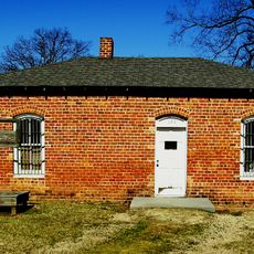
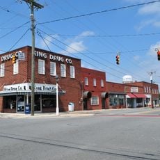
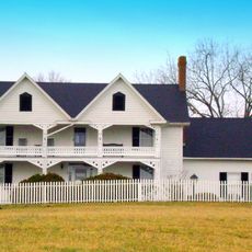
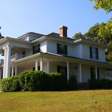
Yadkin County, Administrative county in North Carolina, United States.

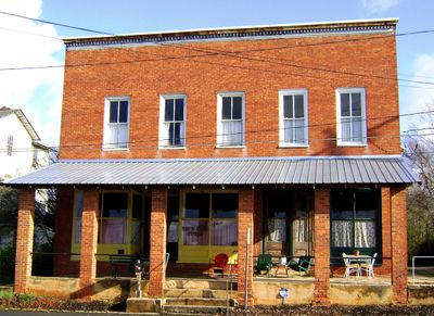
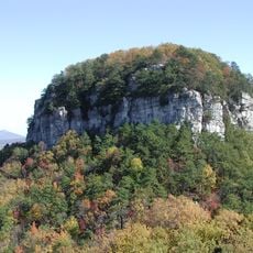
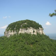
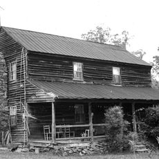
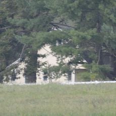
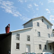
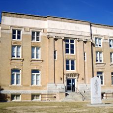
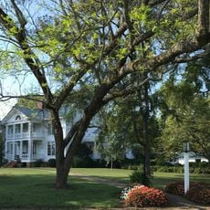
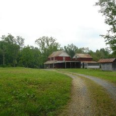
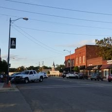
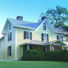
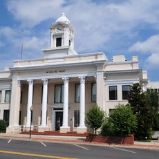
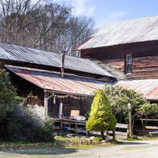
Yadkin County is an administrative division in North Carolina featuring rolling hills and rural farmland throughout the region. The area is structured around Yadkinville, which serves as the county seat and main government center.

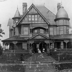
The county was established in 1850 and named after the Yadkin River that flows through the area. It was carved from lands that had previously been administered by neighboring counties.

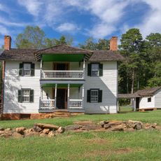
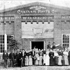
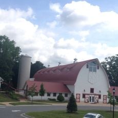
The communities here maintain strong connections to farming and winemaking, which you can see celebrated throughout the year. Local gatherings and markets reflect how these agricultural traditions continue to shape daily life and bring people together.

The best time to explore is during spring and summer when the landscape is greenest and farming activities are most visible. Roads through rural areas tend to be winding and quieter than major highways.

During the Civil War, residents voted against secession from the Union, showing their independent political stance. This choice set them apart from many neighboring regions that sided with the Confederacy.

The community of curious travelers

AroundUs brings together thousands of curated places, local tips, and hidden gems, enriched daily by 60,000 contributors worldwide.

Start exploring
Location
Inception
1850
Capital city
Yadkinville
Shares border with
Surry County, Forsyth County, Davie County, Iredell County, Wilkes County
GPS coordinates
36.16000,-80.67000
Latest update
December 7, 2025 10:06
Around this place
Pilot Mountain
United States of America

Pilot Mountain

26.7 km
Pilot Mountain State Park
United States of America

Pilot Mountain State Park

26.4 km
Horne Creek Living Historical Farm
United States of America

Horne Creek Living Historical Farm

20.3 km
Jesse Helms Center
United States of America

Jesse Helms Center

29.5 km
Downtown Elkin Historic District
United States of America

Downtown Elkin Historic District

18.7 km
Chatham Manufacturing Mill
United States of America

Chatham Manufacturing Mill

18.3 km
Glenwood
United States of America

Glenwood

18.2 km
Perciphull Campbell House
United States of America

Perciphull Campbell House

20.3 km
Hinton Rowan Helper House
United States of America

Hinton Rowan Helper House

28.8 km
Bethania Historic District
United States of America

Bethania Historic District

30.1 km
Surry County Courthouse
United States of America

Surry County Courthouse

26.7 km
Daltonia
United States of America

Daltonia

19.1 km
Win-Mock Farm Dairy
United States of America

Win-Mock Farm Dairy

27.6 km
Gwyn Avenue–Bridge Street Historic District
United States of America

Gwyn Avenue–Bridge Street Historic District

18.6 km
Bank of Pilot Mountain
United States of America

Bank of Pilot Mountain

31 km
Waller House
United States of America

Waller House

23.4 km
Downtown Mocksville Historic District
United States of America

Downtown Mocksville Historic District

31.1 km
Cedar Point
United States of America

Cedar Point

19.2 km
Davie County Courthouse
United States of America

Davie County Courthouse

31.2 km
Second Yadkin County Jail
United States of America

Second Yadkin County Jail

2.9 km
Old Richmond Schoolhouse and Gymnasium
United States of America

Old Richmond Schoolhouse and Gymnasium

25.6 km
Samuel Josiah Atkinson House
United States of America

Samuel Josiah Atkinson House

17.9 km
King Historic District
United States of America

King Historic District

31 km
Claymont Hill
United States of America

Claymont Hill

23.8 km
Marion House and Marion Brothers Store
United States of America

Marion House and Marion Brothers Store

16.9 km
Oak Grove School
United States of America

Oak Grove School

31.4 km
Christian Thomas Shultz House
United States of America

Christian Thomas Shultz House

29.4 km
Elkin Creek Mill
United States of America

Elkin Creek Mill

22.6 km
Show the full map
Administrative divisions
« Yadkin County - Administrative county in North Carolina, United States » is provided by Around Us (aroundus.com). Images and texts are derived from Wikimedia project under a Creative Commons license. You are allowed to copy, distribute, and modify copies of this page, under the conditions set by the license, as long as this note is clearly visible.

Discover hidden gems everywhere you go!

From secret cafés to breathtaking viewpoints, skip the crowded tourist spots and find places that match your style. Our app makes it easy with voice search, smart filtering, route optimization, and insider tips from travelers worldwide. Download now for the complete mobile experience.

Around Us App Screenshot

A unique approach to discovering new places

Le Figaro

All the places worth exploring

France Info

A tailor-made excursion in just a few clicks

20 Minutes

Around Us
Travel Guide & Maps
Download

Send to your phone

QR Code
1

Open the camera app on your mobile.

2

Point at the QR code with your camera. A notification will appear.

3

Tap the notification to open the link.