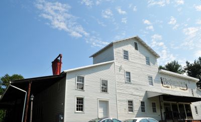
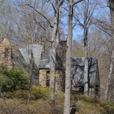
Bethania Historic District, Moravian agricultural settlement in Winston-Salem, North Carolina, United States
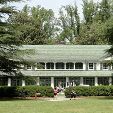
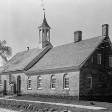
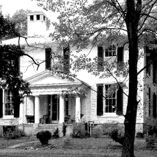
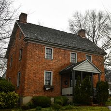
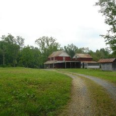
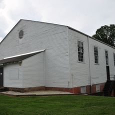
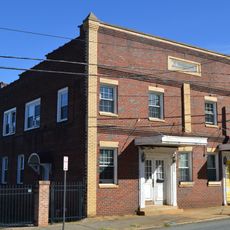
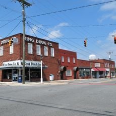
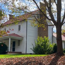
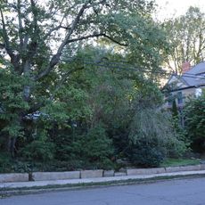
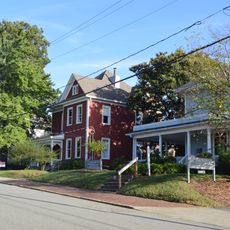
Bethania is a historic Moravian settlement in North Carolina covering 500 acres with original residential areas, orchards, and farmland connected by a network of roads. The main street contains buildings from the 1760s and a visitor center offering self-guided walking tour maps of the historical structures.
The settlement was founded in 1759 and became the first permanent Moravian colony in the Wachovia region of North Carolina. This early establishment influenced the broader settlement and development patterns of the surrounding area.
The village layout reflects a Moravian approach to community living, with separate residential zones that once organized daily life by age and family status. Walking through the streets today shows how this systematic arrangement shaped the way people lived together.
Start your visit at the main street where the visitor center provides maps for self-guided walks through the site. The grounds are spread across a large area, so wearing comfortable shoes and allowing several hours for exploration is recommended.
The cemetery called God's Acre uses a Moravian choir system where graves are divided into four sections separated by rows of cedar trees. This arrangement reflects how the founders organized spiritual life and offers insight into their religious beliefs and community values.
The community of curious travelers
AroundUs brings together thousands of curated places, local tips, and hidden gems, enriched daily by 60,000 contributors worldwide.