
Vermilion County, Administrative county in eastern Illinois, United States
Vermilion County encompasses 901 square miles of land with diverse settlements, including 21 incorporated communities and the capital city of Danville.
The county, established in 1826, derived its name from the Vermilion River, which flows through the area and features red-colored soil along its banks.
Abraham Lincoln maintained a legal practice in Danville from 1841 to 1859, participating in cases and delivering speeches throughout the county.
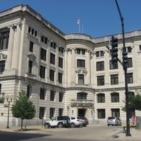
The county board meets at 6:00 p.m. on the second Tuesday monthly in the Joseph G. Cannon Building in Danville to discuss administrative matters.
Salt production from the Vermilion Salines started in 1822, marking the first industrial activity in the region before declining in the late 1820s.
Location: Illinois
Inception: January 18, 1826
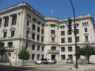
Capital city: Danville
Shares border with: Iroquois County, Edgar County, Benton County, Warren County, Vermillion County, Ford County, Douglas County, Champaign County
Website: http://co.vermilion.il.us
GPS coordinates: 40.18000,-87.74000
Latest update: May 27, 2025 11:49
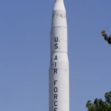
Octave Chanute Aerospace Museum
37.3 km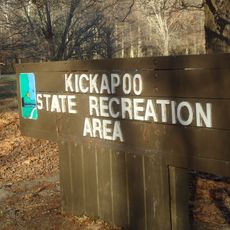
Kickapoo State Recreation Area
7.1 km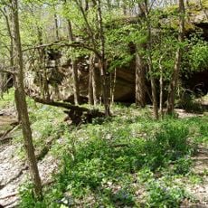
Portland Arch Nature Preserve
34.6 km
Danville National Cemetery
14.8 km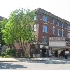
Fischer Theater
11 km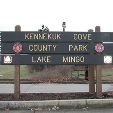
Kennekuk Cove County Park
3.5 km
Fountain County Courthouse
29.6 km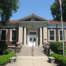
Carnegie Library of Covington
29.7 km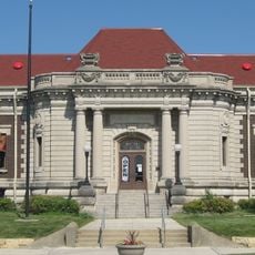
Danville Public Library
11 km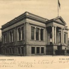
Paris Carnegie Public Library
33.7 km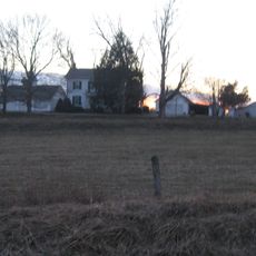
Asher Morton Farmstead
33.7 km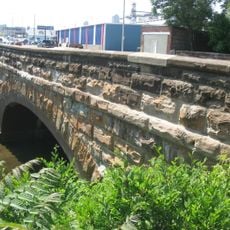
Stone Arch Bridge
12.1 km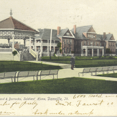
Danville Branch, National Home for Disabled Volunteer Soldiers Historic District
14.4 km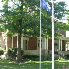
Fithian House
10.6 km
First National Bank Building
11.2 km
Collins Archeological District
3.1 km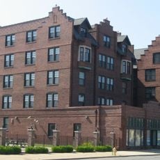
Holland Apartments
10.9 km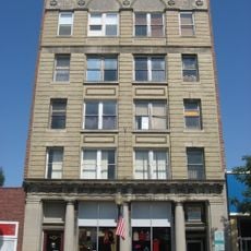
Adams Building
11.1 km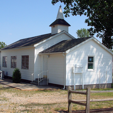
Williams Chapel
22.2 km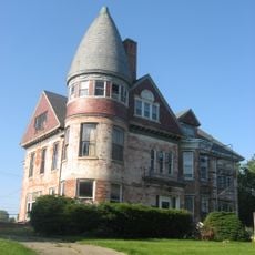
Hoopes-Cunningham Mansion
32.5 km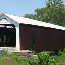
Eugene Covered Bridge
32.7 km
Hoopeston Carnegie Public Library
32.8 km
Fountain County Clerk's Building
29.5 km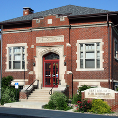
West Lebanon-Pike Township Public Library
31.7 km
Covington Courthouse Square Historic District
29.6 km
Covington Residential Historic District
29.6 km
William C.B. Sewell House
29.8 km
Building at 210–212 West North Street
10.9 kmReviews
Visited this place? Tap the stars to rate it and share your experience / photos with the community! Try now! You can cancel it anytime.
Discover hidden gems everywhere you go!
From secret cafés to breathtaking viewpoints, skip the crowded tourist spots and find places that match your style. Our app makes it easy with voice search, smart filtering, route optimization, and insider tips from travelers worldwide. Download now for the complete mobile experience.

A unique approach to discovering new places❞
— Le Figaro
All the places worth exploring❞
— France Info
A tailor-made excursion in just a few clicks❞
— 20 Minutes