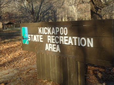
Kickapoo State Recreation Area, Protected recreation area in Vermilion County, Illinois, United States.
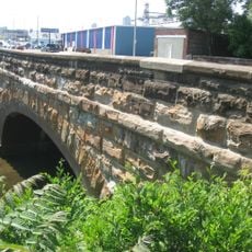
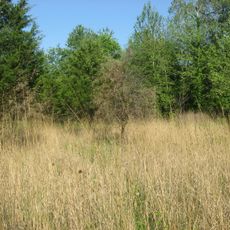
Kickapoo State Recreation Area is a protected space in Vermilion County spanning more than 2800 acres with 22 deep ponds, forested ridges, and the Middle Fork of the Vermilion River running through it. The water bodies and wooded terrain create varied landscapes across the property.
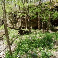
The area was originally a surface mining operation but was purchased by Illinois in 1939, supported partly by donations from Danville residents. It became the first state park established on strip-mined ground, marking a new approach to reclaiming damaged landscapes.
Indigenous peoples from the Woodland and Mississippian cultures left evidence of settlement at the river junction between 500 and 1500. Visitors can explore a landscape shaped by thousands of years of human presence.
The park provides two main campgrounds for tents and trailers with reservation options and electrical hookups for longer stays. Visitors should check on area accessibility and seasonal conditions before planning their visit.
The area offers scuba diving opportunities in select waters such as Inland Sea and Sportsman's Lake, setting it apart from other recreation areas in the state. These water bodies attract divers seeking underwater exploration.
Location: Illinois
Inception: 1939
Website: https://www2.illinois.gov/dnr/Parks/Pages/Kickapoo.aspx
GPS coordinates: 40.11670,-87.73580
Latest update: December 9, 2025 18:47
Portland Arch Nature Preserve
35.9 km
Danville National Cemetery
13.3 km
Fischer Theater
9.1 km
Kennekuk Cove County Park
10.3 km
Fountain County Courthouse
28.9 km
Carnegie Library of Covington
29.2 km
Danville Public Library
9.2 km
Paris Carnegie Public Library
26.6 km
Asher Morton Farmstead
26.6 km
Stone Arch Bridge
10.1 km
Danville Branch, National Home for Disabled Volunteer Soldiers Historic District
12.7 km
Fithian House
8.6 kmFirst National Bank Building
9 km
Collins Archeological District
10.2 km
Holland Apartments
9.1 km
Adams Building
9.1 km
Williams Chapel
24.6 km
W. H. York Round Barn
34.8 km
Eugene Covered Bridge
27.8 km
Vermillion County Courthouse
38 km
Fountain County Clerk's Building
28.9 km
Newport Covered Bridge
36 km
West Lebanon-Pike Township Public Library
34.4 km
Covington Courthouse Square Historic District
28.9 km
Covington Residential Historic District
29.1 km
William C.B. Sewell House
29.2 km
Building at 210–212 West North Street
8.8 km
Cades Mill Bridge
36.5 kmVisited this place? Tap the stars to rate it and share your experience / photos with the community! Try now! You can cancel it anytime.
Discover hidden gems everywhere you go!
From secret cafés to breathtaking viewpoints, skip the crowded tourist spots and find places that match your style. Our app makes it easy with voice search, smart filtering, route optimization, and insider tips from travelers worldwide. Download now for the complete mobile experience.
A unique approach to discovering new places❞
— Le Figaro
All the places worth exploring❞
— France Info
A tailor-made excursion in just a few clicks❞
— 20 Minutes