Enable Location

We need your location to show you interesting places around you

Discover nearby places

Find interesting locations and hidden gems around you

Precise directions

Get accurate directions and distances to places

Your location is never shared with other users. It's only used when you tap the location button.

Vermilion County

Log in to your account

Start exploring — it's free

Trusted by 62,170 travelers worldwide

Continue with Google
Continue with Apple
or

We will send you a code to connect

By continuing, you accept our Terms and Conditions and our Privacy Policy

Check your inbox

We've sent a pincode in your inbox. Please enter the code below.

Vermilion County, Administrative county in eastern Illinois, United States

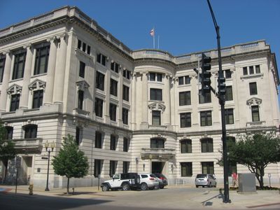
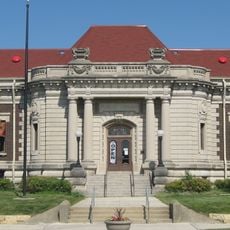
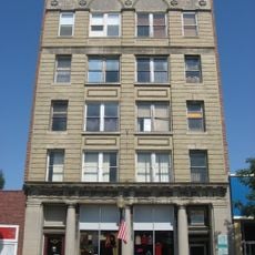
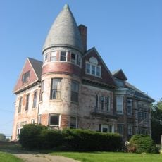
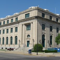
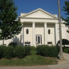
Vermilion County is an administrative division in eastern Illinois covering approximately 901 square miles of land. It includes 21 incorporated communities, with Danville serving as the county seat.

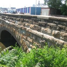
The county was established in 1826 and named after the Vermilion River, whose waters flow through soil with a reddish tint. Early economic activity centered on salt production at the Vermilion Salines, which began around 1822 but declined by the late 1820s.

The name comes from the Vermilion River, which flows through the area and has distinctive reddish-colored banks. You can see how this river shaped the local identity by visiting the different communities spread across the county.

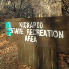
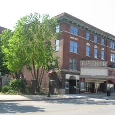
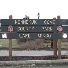
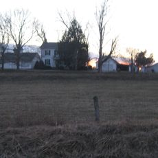
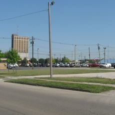
A car is the best way to explore the county, since communities are spread across a larger area. The Vermilion River provides several points of interest throughout the region, and Danville in the center serves as a convenient starting point.

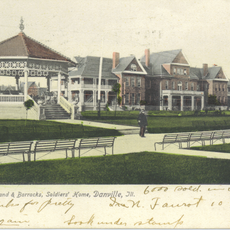
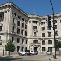
Abraham Lincoln worked as a lawyer in Danville and appeared in court cases throughout the area, giving the county a direct connection to one of America's most significant historical figures. His presence in the region left lasting marks and connects it to broader 19th-century political movements.

The community of curious travelers

AroundUs brings together thousands of curated places, local tips, and hidden gems, enriched daily by 60,000 contributors worldwide.

Start exploring
Location
Inception
January 18, 1826
Capital city
Danville
Shares border with
Iroquois County, Edgar County, Benton County, Warren County, Vermillion County, Ford County, Douglas County, Champaign County
GPS coordinates
40.18000,-87.74000
Latest update
December 23, 2025 03:21
Around this place
Kickapoo State Recreation Area
United States of America

Kickapoo State Recreation Area

7.1 km
United States of America

Vermilion River Observatory

20.2 km
United States of America

Harry "Babe" Woodyard State Natural Area

27.9 km
United States of America

Middle Fork State Fish and Wildlife Area

10 km
Danville National Cemetery
United States of America

Danville National Cemetery

14.8 km
United States of America

Forest Glen Preserve

24.7 km
Fischer Theater
United States of America

Fischer Theater

11 km
Kennekuk Cove County Park
United States of America

Kennekuk Cove County Park

3.5 km
Danville Public Library
United States of America

Danville Public Library

11 km
Paris Carnegie Public Library
United States of America

Paris Carnegie Public Library

33.7 km
Asher Morton Farmstead
United States of America

Asher Morton Farmstead

33.7 km
Stone Arch Bridge
United States of America

Stone Arch Bridge

12.1 km
United States of America

Harrison Park Golf Course

8.2 km
Danville Branch, National Home for Disabled Volunteer Soldiers Historic District
United States of America

Danville Branch, National Home for Disabled Volunteer Soldiers Historic District

14.4 km
Fithian House
United States of America

Fithian House

10.6 km
United States of America

First National Bank Building

11.2 km
Collins Archeological District
United States of America

Collins Archeological District

3.1 km
Holland Apartments
United States of America

Holland Apartments

10.9 km
Adams Building
United States of America

Adams Building

11.1 km
United States of America

Heron County Park

8.1 km
Hoopes-Cunningham Mansion
United States of America

Hoopes-Cunningham Mansion

32.5 km
United States Post Office and Court House
United States of America

United States Post Office and Court House

11.1 km
Hoopeston Carnegie Public Library
United States of America

Hoopeston Carnegie Public Library

32.8 km
Building at 210–212 West North Street
United States of America

Building at 210–212 West North Street

10.9 km
United States of America

Illinois Power Company Lake

1.2 km
United States of America

Fairchild Cemetery Savanna Nature Preserve

4.7 km
United States of America

Scenic viewpoint, tower, Observation tower

24.5 km
United States of America

Scenic viewpoint

3.7 km
Show the full map
Administrative divisions
« Vermilion County - Administrative county in eastern Illinois, United States » is provided by Around Us (aroundus.com). Images and texts are derived from Wikimedia project under a Creative Commons license. You are allowed to copy, distribute, and modify copies of this page, under the conditions set by the license, as long as this note is clearly visible.

Discover hidden gems everywhere you go!

From secret cafés to breathtaking viewpoints, skip the crowded tourist spots and find places that match your style. Our app makes it easy with voice search, smart filtering, route optimization, and insider tips from travelers worldwide. Download now for the complete mobile experience.

Around Us App Screenshot

A unique approach to discovering new places

Le Figaro

All the places worth exploring

France Info

A tailor-made excursion in just a few clicks

20 Minutes

Around Us
Travel Guide & Maps
Download

Send to your phone

QR Code
1

Open the camera app on your mobile.

2

Point at the QR code with your camera. A notification will appear.

3

Tap the notification to open the link.