Bates County, County in Missouri, United States.
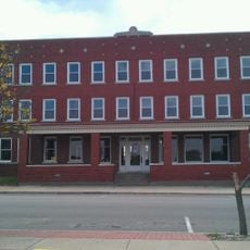
Bates County is an administrative division in western Missouri comprising small towns and farming areas. Butler serves as the county seat where local government operations are based.
The county was established in 1841 and named after Frederick Bates, Missouri's second governor. It developed as an agricultural community in the western part of the state.
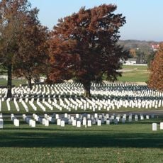
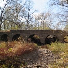
The Battle of Island Mound, which occurred within the county borders during the American Civil War, marks a significant event in Missouri military history.
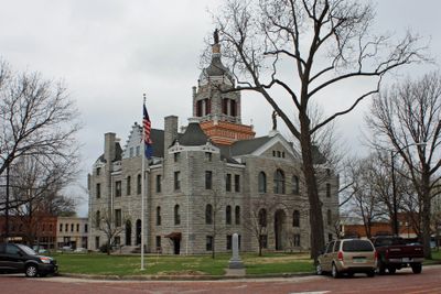
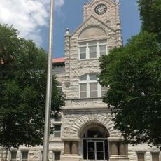
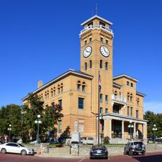
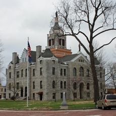
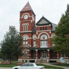
Butler houses the courthouse where essential services like voter registration and property records are handled. Visitors will find the main government offices and public services concentrated there.
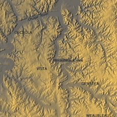
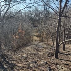
The county territory includes specific geographical features where Kansas and Missouri meet, creating distinct environmental zones at their intersection points.
Location: Missouri
Inception: January 29, 1841
Capital city: Butler
Shares border with: Cass County, Henry County, St. Clair County, Vernon County, Linn County, Miami County
Website: http://batescounty.net
GPS coordinates: 38.26000,-94.34000
Latest update: December 7, 2025 20:24
Weaubleau structure
69.1 km
Hillsdale Lake
66 km
Fort Scott National Cemetery
56.3 km
Osage Village State Historic Site
33.1 kmPowell Observatory
53.2 kmFort Carondelet
27.3 km
Marais des Cygnes National Wildlife Refuge
27.4 km
Landers Creek Bridge
57 km
Vernon County Courthouse
46.9 km
Jackson Hotel
58.6 km
Harrisonville Courthouse Square Historic District
43.9 km
Bates County Courthouse
1.4 km
Papinville Marais des Cygnes River Bridge
23.3 km
First Presbyterian Church
57.7 km
First Congregational Church
57.3 km
Miami County Courthouse
58.3 km
Linn County Courthouse
43.2 km
Glasgow Commercial Historic District
43.3 km
South Main Street Historic District
59.1 km
Mine Creek Bridge
33.7 km
Carey’s Ford Bridge
67.1 km
Long Shoals Bridge
38.5 km
John Brown Museum State Historic Site
60.2 km
Henry County Museum
50.6 km
Marais des Cygnes Massacre Site
24.6 km
Creamery Bridge
60.1 km
Pottawatomie Creek Bridge
58.9 km
Asylum Bridge
59.2 kmVisited this place? Tap the stars to rate it and share your experience / photos with the community! Try now! You can cancel it anytime.
Discover hidden gems everywhere you go!
From secret cafés to breathtaking viewpoints, skip the crowded tourist spots and find places that match your style. Our app makes it easy with voice search, smart filtering, route optimization, and insider tips from travelers worldwide. Download now for the complete mobile experience.
A unique approach to discovering new places❞
— Le Figaro
All the places worth exploring❞
— France Info
A tailor-made excursion in just a few clicks❞
— 20 Minutes