Enable Location

We need your location to show you interesting places around you

Discover nearby places

Find interesting locations and hidden gems around you

Precise directions

Get accurate directions and distances to places

Your location is never shared with other users. It's only used when you tap the location button.

Schuyler County

Log in to your account

Start exploring — it's free

Trusted by 61,891 travelers worldwide

Continue with Google
Continue with Apple
or

We will send you a code to connect

By continuing, you accept our Terms and Conditions and our Privacy Policy

Check your inbox

We've sent a pincode in your inbox. Please enter the code below.

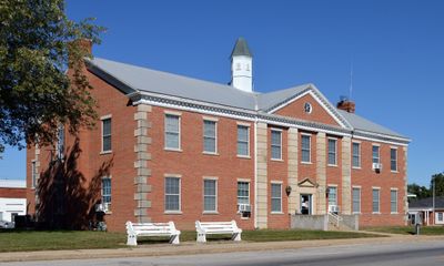
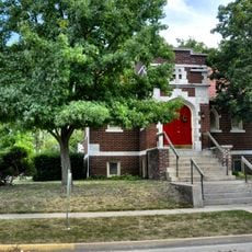
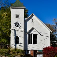
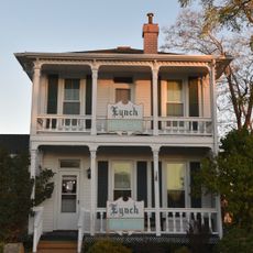
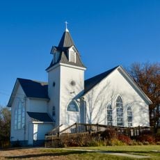
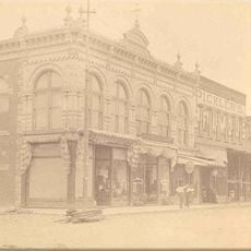
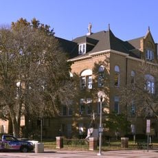
Schuyler County, County in northeastern Missouri, United States.

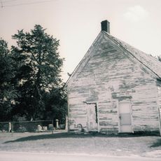
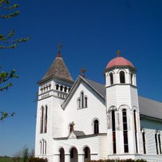
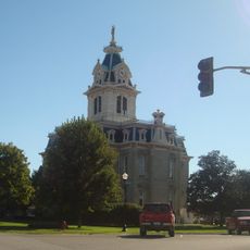
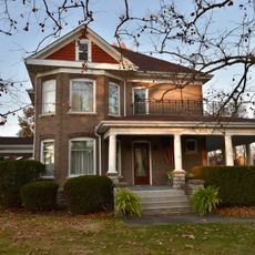
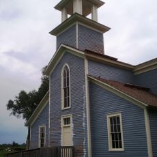
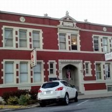
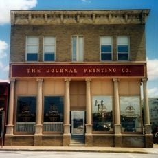
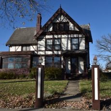
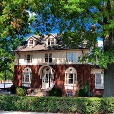
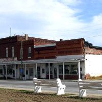
Schuyler County is an administrative division in northeastern Missouri with Lancaster as its county seat. The region spans multiple small towns and rural areas with open farmland and quiet communities.

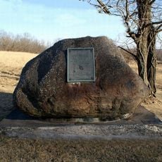
The county was established in 1845 from territory taken from Adair County and named after General Philip Schuyler of New York. This formation reflected the territorial expansion and administrative reorganization that characterized Missouri in the 1800s.

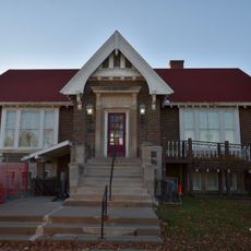
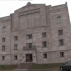
The Schuyler County R-1 School District maintains educational facilities across multiple grade levels, forming the foundation of the local education system.

U.S. Route 63 and U.S. Route 136 serve as primary roads connecting the area to neighboring regions and services. Travel times to larger cities and medical facilities are manageable by car from most locations within the county.

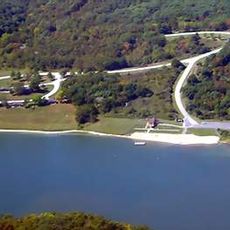
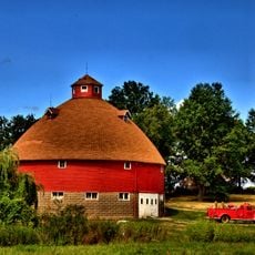
The county borders Iowa to the north and ranks among Missouri's least densely populated areas with very few residents spread across wide open spaces. This sparse settlement pattern preserves a rural character throughout the region.

The community of curious travelers

AroundUs brings together thousands of curated places, local tips, and hidden gems, enriched daily by 60,000 contributors worldwide.

Start exploring
Location
Inception
1845
Capital city
Lancaster
Shares border with
Davis County, Adair County, Scotland County, Putnam County, Appanoose County
GPS coordinates
40.47000,-92.52000
Latest update
December 10, 2025 15:58
Around this place
Thousand Hills State Park
United States of America

Thousand Hills State Park

33.9 km
Capt. Thomas C. Harris House
United States of America

Capt. Thomas C. Harris House

29.9 km
Bloomfield Public Library
United States of America

Bloomfield Public Library

32.6 km
Bear Creek Baptist Church
United States of America

Bear Creek Baptist Church

26.9 km
St. Mary's Church
United States of America

St. Mary's Church

27.2 km
Masonic Temple
United States of America

Masonic Temple

31 km
Davis County Courthouse
United States of America

Davis County Courthouse

32.7 km
Trinity Episcopal Church
United States of America

Trinity Episcopal Church

30.8 km
Second Baptist Church
United States of America

Second Baptist Church

41.2 km
Asa Wilson House
United States of America

Asa Wilson House

32.4 km
West Grove United Methodist Church
United States of America

West Grove United Methodist Church

28.6 km
Henry Wishard House
United States of America

Henry Wishard House

32.6 km
Troy Academy
United States of America

Troy Academy

35.7 km
Grim Building
United States of America

Grim Building

31 km
Journal Printing Company Building
United States of America

Journal Printing Company Building

31.2 km
Kirksville Courthouse Square Historic District
United States of America

Kirksville Courthouse Square Historic District

31 km
Adair County Courthouse
United States of America

Adair County Courthouse

31.1 km
Downing House
United States of America

Downing House

29.6 km
William P. Hall House
United States of America

William P. Hall House

6 km
Cabins Historic District
United States of America

Cabins Historic District

32.3 km
Porter Hall
United States of America

Porter Hall

41.4 km
Dr. E. Sanborn Smith House
United States of America

Dr. E. Sanborn Smith House

31.8 km
Orie J. Smith Black and White Stock Farm Historic District
United States of America

Orie J. Smith Black and White Stock Farm Historic District

27.4 km
Russell Octagon House
United States of America

Russell Octagon House

28 km
Bloomfield Square
United States of America

Bloomfield Square

32.6 km
Sturdivant-Sawyer House
United States of America

Sturdivant-Sawyer House

41.4 km
William Findley House
United States of America

William Findley House

32.5 km
Unionville Square Historic District
United States of America

Unionville Square Historic District

40.8 km
Show the full map
Administrative divisions
« Schuyler County - County in northeastern Missouri, United States » is provided by Around Us (aroundus.com). Images and texts are derived from Wikimedia project under a Creative Commons license. You are allowed to copy, distribute, and modify copies of this page, under the conditions set by the license, as long as this note is clearly visible.

Discover hidden gems everywhere you go!

From secret cafés to breathtaking viewpoints, skip the crowded tourist spots and find places that match your style. Our app makes it easy with voice search, smart filtering, route optimization, and insider tips from travelers worldwide. Download now for the complete mobile experience.

Around Us App Screenshot

A unique approach to discovering new places

Le Figaro

All the places worth exploring

France Info

A tailor-made excursion in just a few clicks

20 Minutes

Around Us
Travel Guide & Maps
Download

Send to your phone

QR Code
1

Open the camera app on your mobile.

2

Point at the QR code with your camera. A notification will appear.

3

Tap the notification to open the link.