Enable Location

We need your location to show you interesting places around you

Discover nearby places

Find interesting locations and hidden gems around you

Precise directions

Get accurate directions and distances to places

Your location is never shared with other users. It's only used when you tap the location button.

Hocking County

Log in to your account

Start exploring — it's free

Trusted by 61,445 travelers worldwide

Continue with Google
Continue with Apple
or

We will send you a code to connect

By continuing, you accept our Terms and Conditions and our Privacy Policy

Check your inbox

We've sent a pincode in your inbox. Please enter the code below.

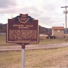
Hocking County, County in southeastern Ohio, United States

Description

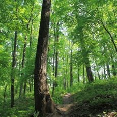
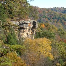
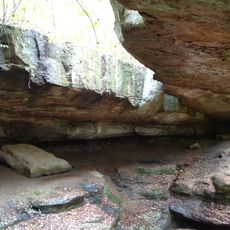
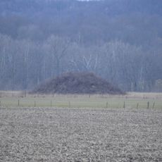
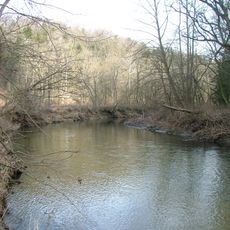
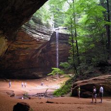
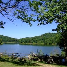
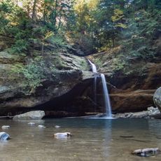
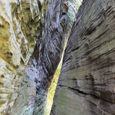
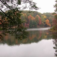
Hocking County is an administrative division in southeastern Ohio that spans terrain ranging from flat to hilly land with the Hocking River as its main waterway. The river flows from northwest to southeast, dividing the landscape into several geographic areas characterized by forests and farmland.

History

The county was established on January 3, 1818, when territories from neighboring counties were redistributed to create a new administrative unit. This administrative reform marked the beginning of independent governance in southeastern Ohio during the state's early expansion.

Culture

The name Hocking comes from Delaware Indian language and refers to the river running through the region. Local communities maintain a strong connection to this waterway, which continues to shape daily life and the landscape.

Practical

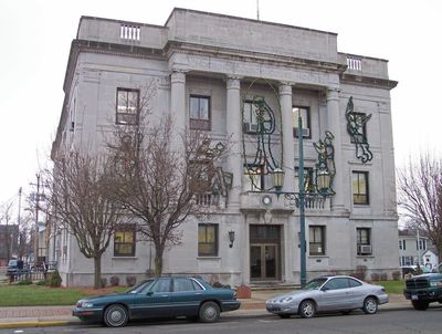
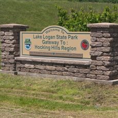
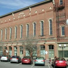
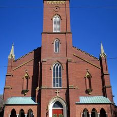
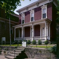
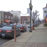
Logan, the administrative center of the county, provides government services and serves as a reference point for navigation and visitor orientation. The region is accessible by road and offers multiple routes for exploring the surrounding countryside and natural features.

Did you know?

The county is crossed by three distinct waterways that each create their own habitats and landscapes throughout the region. These water systems have shaped settlement patterns and local activities for generations.

Location
Inception
January 3, 1818
Capital city
Logan
Shares border with
Perry County, Vinton County, Athens County, Ross County, Pickaway County, Fairfield County
GPS coordinates
39.50000,-82.48000
Latest update
December 7, 2025 10:08

AroundUs brings together thousands of curated places, local tips, and hidden gems, enriched daily by 60,000 contributors worldwide. Discover all places nearby (Ohio).

Around this place
Hocking Hills State Park
United States of America

Hocking Hills State Park

9.2 km
United States of America

Hocking Valley Scenic Railway Historic District

21.6 km
Zaleski State Forest
United States of America

Zaleski State Forest

23.3 km
Lake Logan State Park
United States of America

Lake Logan State Park

4.2 km
Hocking State Forest
United States of America

Hocking State Forest

9.1 km
Conkle's Hollow State Nature Preserve
United States of America

Conkle's Hollow State Nature Preserve

9.6 km
Rockbridge State Nature Preserve
United States of America

Rockbridge State Nature Preserve

8.6 km
Hope Furnace
United States of America

Hope Furnace

22.2 km
Amanda-Clearcreek High School
United States of America

Amanda-Clearcreek High School

27.5 km
Zaleski Mound Group
United States of America

Zaleski Mound Group

24.8 km
Stuart's Opera House
United States of America

Stuart's Opera House

21.8 km
Horn Mound
United States of America

Horn Mound

22.4 km
Karshner Mound
United States of America

Karshner Mound

21.3 km
Clear Creek
United States of America

Clear Creek

22.3 km
John Artz Farmhouse
United States of America

John Artz Farmhouse

22.9 km
Basilica of St. Mary of the Assumption
United States of America

Basilica of St. Mary of the Assumption

25.8 km
Ash Cave
United States of America

Ash Cave

12.5 km
Lake Hope State Park
United States of America

Lake Hope State Park

21.1 km
Old Man's Cave
United States of America

Old Man's Cave

9.2 km
John Sherman Birthplace
United States of America

John Sherman Birthplace

25.8 km
Cantwell Cliffs
United States of America

Cantwell Cliffs

9.7 km
Shawnee Lookout Tower
United States of America

Shawnee Lookout Tower

22.4 km
Hope Furnace
United States of America

Hope Furnace

22.2 km
Ash Cave Fire Tower
United States of America

Ash Cave Fire Tower

11.4 km
Cox Covered Bridge
United States of America

Cox Covered Bridge

15 km
Haydenville Historic Town
United States of America

Haydenville Historic Town

13.3 km
Hocking Valley Railway
United States of America

Hocking Valley Railway

21.6 km
Hocking Hills Reservoir
United States of America

Hocking Hills Reservoir

9.7 km
Show the full map
Administrative divisions
« Hocking County - County in southeastern Ohio, United States » is provided by Around Us (aroundus.com). Images and texts are derived from Wikimedia project under a Creative Commons license. You are allowed to copy, distribute, and modify copies of this page, under the conditions set by the license, as long as this note is clearly visible.

Discover hidden gems everywhere you go!

From secret cafés to breathtaking viewpoints, skip the crowded tourist spots and find places that match your style. Our app makes it easy with voice search, smart filtering, route optimization, and insider tips from travelers worldwide. Download now for the complete mobile experience.

Around Us App Screenshot

A unique approach to discovering new places

Le Figaro

All the places worth exploring

France Info

A tailor-made excursion in just a few clicks

20 Minutes

Around Us
Travel Guide & Maps
Download

Send to your phone

QR Code
1

Open the camera app on your mobile.

2

Point at the QR code with your camera. A notification will appear.

3

Tap the notification to open the link.