Enable Location

We need your location to show you interesting places around you

Discover nearby places

Find interesting locations and hidden gems around you

Precise directions

Get accurate directions and distances to places

Your location is never shared with other users. It's only used when you tap the location button.

Mercer County

Log in to your account

Start exploring — it's free

Trusted by 62,827 travelers worldwide

Continue with Google
Continue with Apple
or

We will send you a code to connect

By continuing, you accept our Terms and Conditions and our Privacy Policy

Check your inbox

We've sent a pincode in your inbox. Please enter the code below.

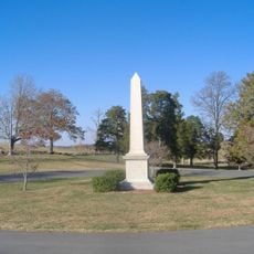
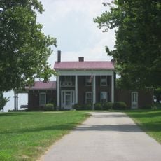
Mercer County, Historical county in Kentucky, United States

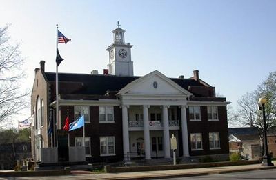
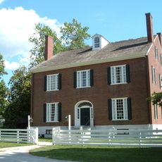
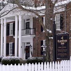
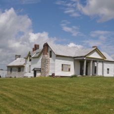
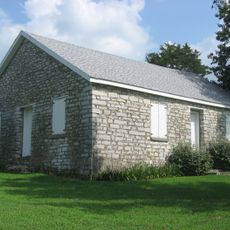
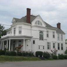
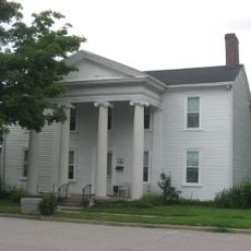
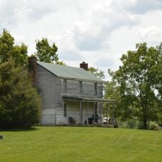
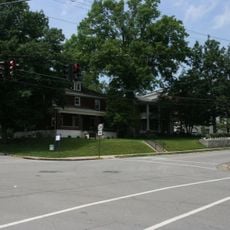
Mercer County is an administrative division in central Kentucky with Harrodsburg serving as its county seat since its formation. The region encompasses rolling terrain dotted with farms, forests, and historic buildings that shape the local landscape.

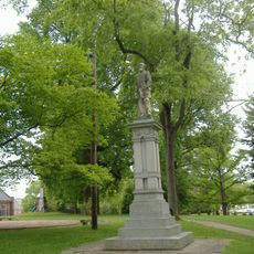
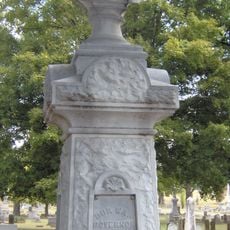
It was established in 1785, named after General Hugh Mercer, a military officer who played a role in the American Revolution. The county emerged as settlers expanded westward into new territories beyond established regions.

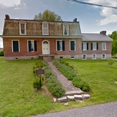
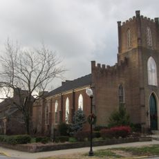
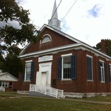
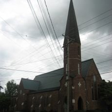
The First Baptist Church, established in the same year as the county, represents the spiritual foundation that shaped early community life here. Its continued presence reflects how deeply faith remained woven into local identity over the centuries.

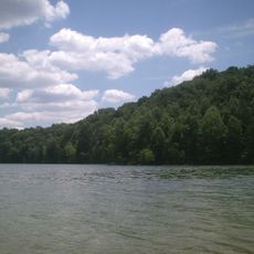
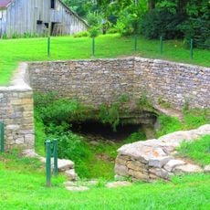
Visitors can explore hiking trails, fishing spots, and natural areas scattered throughout the region at their own pace. The landscape changes with seasons, so timing your visit around milder weather can enhance the outdoor experience.

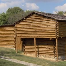
Harrodsburg is recognized as the first permanent European settlement established west of the Allegheny Mountains, a boundary that once defined the edge of the frontier. This distinction marks a pivotal point in westward expansion history.

The community of curious travelers

AroundUs brings together thousands of curated places, local tips, and hidden gems, enriched daily by 60,000 contributors worldwide.

Start exploring
Location
Inception
October 17, 1785
Capital city
Harrodsburg
Shares border with
Woodford County, Jessamine County, Garrard County, Boyle County, Washington County, Anderson County
GPS coordinates
37.80000,-84.88000
Latest update
December 7, 2025 20:21
Around this place
Pleasant Hill
United States of America

Pleasant Hill

12.4 km
High Bridge of Kentucky
United States of America

High Bridge of Kentucky

14.2 km
Herrington Lake
United States of America

Herrington Lake

17 km
Perryville Battlefield State Historic Site
United States of America

Perryville Battlefield State Historic Site

16 km
Old Fort Harrod State Park
United States of America

Old Fort Harrod State Park

5 km
Rocky Point Manor
United States of America

Rocky Point Manor

5.2 km
Confederate Monument in Danville
United States of America

Confederate Monument in Danville

19.3 km
Danville National Cemetery
United States of America

Danville National Cemetery

19.3 km
Elmwood Inn
United States of America

Elmwood Inn

18 km
Confederate Monument in Perryville
United States of America

Confederate Monument in Perryville

16.1 km
Carry A. Nation House
United States of America

Carry A. Nation House

17 km
Confederate Monument in Harrodsburg
United States of America

Confederate Monument in Harrodsburg

4.9 km
Union Monument in Perryville
United States of America

Union Monument in Perryville

16 km
First Presbyterian Church
United States of America

First Presbyterian Church

19.4 km
Young House
United States of America

Young House

22.9 km
Beriah Magoffin Monument
United States of America

Beriah Magoffin Monument

5 km
Ebenezer Presbyterian Church
United States of America

Ebenezer Presbyterian Church

22.5 km
New Providence Presbyterian Church
United States of America

New Providence Presbyterian Church

7.6 km
Perryville Historic District
United States of America

Perryville Historic District

17.9 km
St. Peter's AME Church
United States of America

St. Peter's AME Church

5.2 km
St. Philip's Episcopal Church
United States of America

St. Philip's Episcopal Church

5.4 km
Beaumont Avenue Residential District
United States of America

Beaumont Avenue Residential District

5.8 km
Farmer's Bank of Mackville
United States of America

Farmer's Bank of Mackville

18.3 km
Cardwellton
United States of America

Cardwellton

5.2 km
Rev. William Dudley Moore House
United States of America

Rev. William Dudley Moore House

20.4 km
Lexington and Main Historic District
United States of America

Lexington and Main Historic District

20.4 km
Brightleaf Golf Resort
United States of America

Brightleaf Golf Resort

10.6 km
Great American Dollhouse Museum
United States of America

Great American Dollhouse Museum

19 km
Show the full map
« Mercer County - Historical county in Kentucky, United States » is provided by Around Us (aroundus.com). Images and texts are derived from Wikimedia project under a Creative Commons license. You are allowed to copy, distribute, and modify copies of this page, under the conditions set by the license, as long as this note is clearly visible.

Discover hidden gems everywhere you go!

From secret cafés to breathtaking viewpoints, skip the crowded tourist spots and find places that match your style. Our app makes it easy with voice search, smart filtering, route optimization, and insider tips from travelers worldwide. Download now for the complete mobile experience.

Around Us App Screenshot

A unique approach to discovering new places

Le Figaro

All the places worth exploring

France Info

A tailor-made excursion in just a few clicks

20 Minutes

Around Us
Travel Guide & Maps
Download

Send to your phone

QR Code
1

Open the camera app on your mobile.

2

Point at the QR code with your camera. A notification will appear.

3

Tap the notification to open the link.