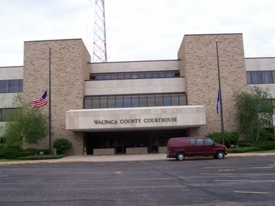
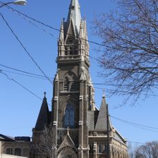
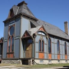
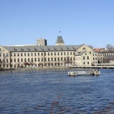
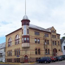
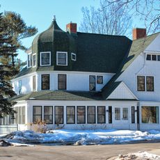
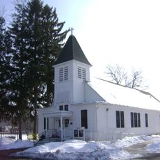
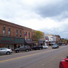
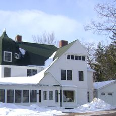
Waupaca County, Administrative county in Wisconsin, United States
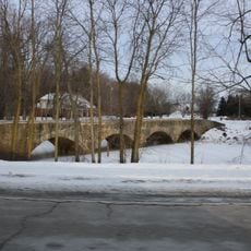
Waupaca County is an administrative division in Wisconsin with woodlands, lakes, and small communities spread across its territory. The landscape features multiple water systems, including interconnected lakes and river networks that define much of the terrain.
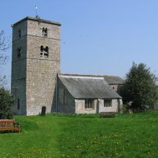
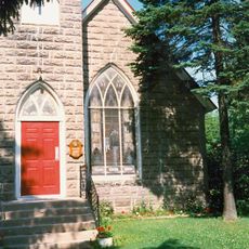
The area takes its name from the Waupaca River, derived from Menominee language terms meaning sandy bottom or morning river. Indigenous peoples including the Menominee inhabited this region for centuries before European settlement transformed the landscape.
The area shows remnants of Native American earthwork mounds that reflect the presence of indigenous communities before European settlement arrived.
The county is best explored by car, as communities and lake areas are spread across considerable distances. Lakes and rivers remain accessible throughout the year for boating and fishing, with warmer months drawing the most activity.
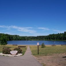
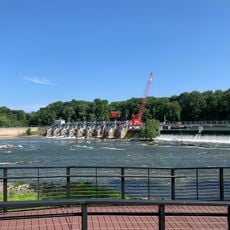
The Waupaca Chain O' Lakes consists of roughly 22 interconnected lakes linked by channels and river sections. This unusual water system allows visitors to explore multiple lakes without needing to change boats.
The community of curious travelers
AroundUs brings together thousands of curated places, local tips, and hidden gems, enriched daily by 60,000 contributors worldwide.