Enable Location

We need your location to show you interesting places around you

Discover nearby places

Find interesting locations and hidden gems around you

Precise directions

Get accurate directions and distances to places

Your location is never shared with other users. It's only used when you tap the location button.

Richland County

Log in to your account

Start exploring — it's free

Trusted by 62,937 travelers worldwide

Continue with Google
Continue with Apple
or

We will send you a code to connect

By continuing, you accept our Terms and Conditions and our Privacy Policy

Check your inbox

We've sent a pincode in your inbox. Please enter the code below.

Discussion Reviews 1 Photos
13.2k Popularity

Richland County, Administrative county in southwestern Wisconsin, US.

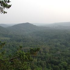
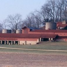
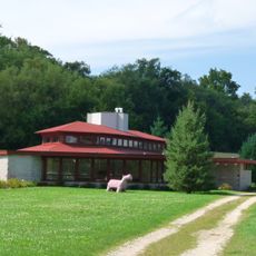
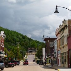
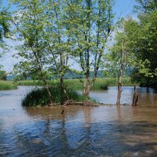
Richland County is an administrative division in southwestern Wisconsin characterized by rolling terrain and the Wisconsin River forming its southern boundary. The landscape includes numerous valleys and small waterways that shape the region's natural features.

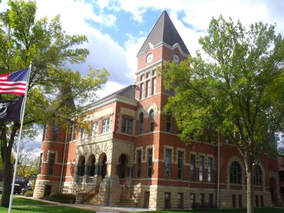
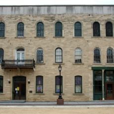
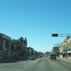
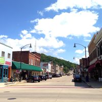
The county was founded in 1850 and developed from a settlement area into an organized administrative territory. Richland Center became the administrative center and has guided the region's development since then.

The county maintains 21 supervisory districts, each contributing to local governance through representation on the Board of Supervisors.

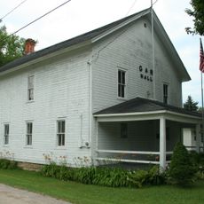
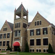
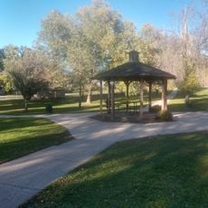
The county offices are located in Richland Center where residents can access administrative services and public support. The various towns and villages throughout the territory are accessible by car and offer local services within their communities.

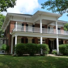
The territory is divided into 16 towns, 5 villages, and 1 city, creating a layered system of local governance. This structure allows smaller communities to maintain their distinct character while remaining part of the broader county framework.

The community of curious travelers

AroundUs brings together thousands of curated places, local tips, and hidden gems, enriched daily by 60,000 contributors worldwide.

Start exploring
Location
Inception
1850
Capital city
Richland Center
Shares border with
Vernon County, Sauk County, Iowa County, Grant County, Crawford County
GPS coordinates
43.38000,-90.43000
Latest update
December 7, 2025 20:41
Around this place
House on the Rock
United States of America

House on the Rock

39.2 km
Taliesin
United States of America

Taliesin

39.4 km
Wildcat Mountain State Park
United States of America

Wildcat Mountain State Park

37 km
Unity Chapel
United States of America

Unity Chapel

40.6 km
Romeo and Juliet Windmill
United States of America

Romeo and Juliet Windmill

39.4 km
Tower Hill State Park
United States of America

Tower Hill State Park

40.4 km
Hillside Home School I
United States of America

Hillside Home School I

39.4 km
Tan-y-Deri
United States of America

Tan-y-Deri

39.4 km
House on the Rock Carousel
United States of America

House on the Rock Carousel

39.2 km
Midway Barn
United States of America

Midway Barn

39.4 km
Wyoming Valley School
United States of America

Wyoming Valley School

38.8 km
Central House Hotel
United States of America

Central House Hotel

35.3 km
Julia B. and Fred P. Bowen House
United States of America

Julia B. and Fred P. Bowen House

6 km
Main Street Commercial Historic District
United States of America

Main Street Commercial Historic District

38.2 km
Reedsburg Woolen Mill
United States of America

Reedsburg Woolen Mill

37.9 km
Boscobel Grand Army of the Republic Hall
United States of America

Boscobel Grand Army of the Republic Hall

35.6 km
Boscobel High School
United States of America

Boscobel High School

35.3 km
Court Street Commercial Historic District
United States of America

Court Street Commercial Historic District

6.1 km
William Stolte, Sr., House
United States of America

William Stolte, Sr., House

37.9 km
Avoca River-Bottom Prairie
United States of America

Avoca River-Bottom Prairie

22.4 km
Park Street Historic District
United States of America

Park Street Historic District

38.4 km
Tim Thering Octagon Barn
United States of America

Tim Thering Octagon Barn

32.2 km
William Stolte, Jr., House
United States of America

William Stolte, Jr., House

37.9 km
George Apfel Round Barn
United States of America

George Apfel Round Barn

37 km
Tippesaukee Farm Rural Historic District
United States of America

Tippesaukee Farm Rural Historic District

22.6 km
John Young House
United States of America

John Young House

22 km
William Riggert House
United States of America

William Riggert House

37.9 km
Starlite 14 Drive-In
United States of America

Starlite 14 Drive-In

8.8 km
Show the full map
Reviews
Share your experience

No review yet

Discussions
Start a discussion...

No discussion yet

Administrative divisions
« Richland County - Administrative county in southwestern Wisconsin, US » is provided by Around Us (aroundus.com). Images and texts are derived from Wikimedia project under a Creative Commons license. You are allowed to copy, distribute, and modify copies of this page, under the conditions set by the license, as long as this note is clearly visible.

Discover hidden gems everywhere you go!

From secret cafés to breathtaking viewpoints, skip the crowded tourist spots and find places that match your style. Our app makes it easy with voice search, smart filtering, route optimization, and insider tips from travelers worldwide. Download now for the complete mobile experience.

Around Us App Screenshot

A unique approach to discovering new places

Le Figaro

All the places worth exploring

France Info

A tailor-made excursion in just a few clicks

20 Minutes

Around Us
Travel Guide & Maps
Download

Send to your phone

QR Code
1

Open the camera app on your mobile.

2

Point at the QR code with your camera. A notification will appear.

3

Tap the notification to open the link.