Marshall, city in Missouri, USA
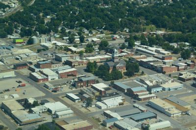
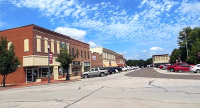
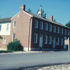
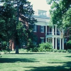
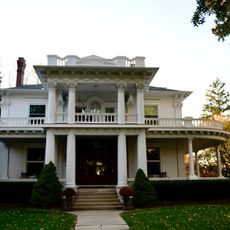
Marshall is a city in central Missouri and the county seat of Saline County. It has a traditional American downtown layout centered on a public square, with a courthouse, local shops, and tree-lined streets typical of mid-sized Midwestern towns.
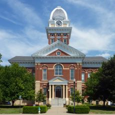
The city was founded in 1839 on land donated for the purpose and quickly became the administrative center of the county. The current courthouse dates to 1882, built after several earlier structures were lost to fire, and is listed on the National Register of Historic Places.
The city takes its name from Supreme Court Justice John Marshall, a detail many visitors notice when exploring the town square. Free orchestra and band concerts take place there during summer, drawing local families and giving the square a lively weekend feel.
Marshall sits roughly halfway between Kansas City and Columbia, making it a natural stop on a drive through central Missouri. The downtown area is easy to walk and several parks are spread around the city, so no car is needed once you arrive.
Jim the Wonder Dog lived in Marshall during the 1930s and became famous for appearing to understand spoken commands in several languages and predicting the results of sporting events. A memorial to him still stands in one of the city's parks, and many visitors come specifically to see it.
The community of curious travelers
AroundUs brings together thousands of curated places, local tips, and hidden gems, enriched daily by 60,000 contributors worldwide.