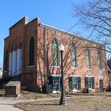
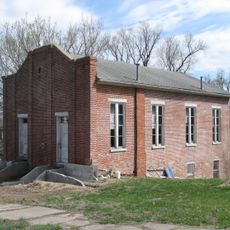
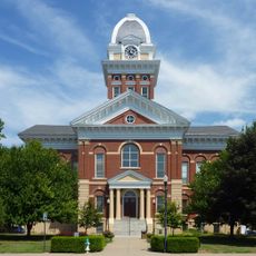
Saline County, County administrative division in Marshall, Missouri, US
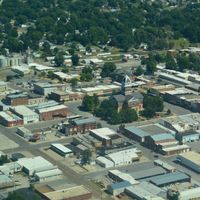
Saline County is an administrative region in Missouri that stretches along the Missouri River and includes farmland, small towns, and various transportation corridors. The area sits in a region where agriculture and rural communities form the backbone of daily life.
The region was established in 1820 and took its name from the salt springs scattered throughout the area. These natural resources attracted early settlers and shaped how the region developed.
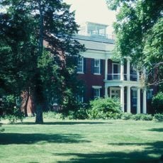
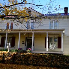
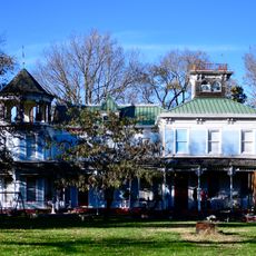
The county forms part of the historical 'Little Dixie' region, reflecting settlement patterns from the Upper South during the nineteenth century.
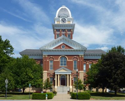
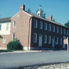
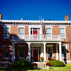
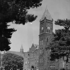
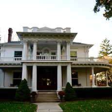
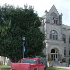
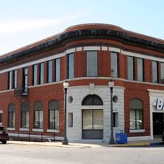
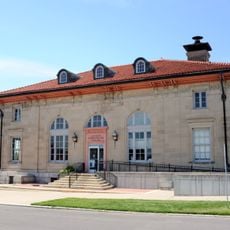
The county seat of Marshall sits at the center and houses the district's administrative buildings where various services are available. Traveling by car is recommended since public transportation options are limited throughout the area.
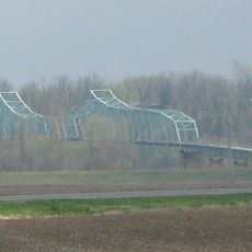
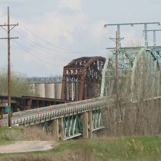
The northern boundary is shaped by where the Missouri River and Grand River meet, creating a distinctive geographic feature of the area. This river convergence has influenced how trade and transportation developed in the region.
The community of curious travelers
AroundUs brings together thousands of curated places, local tips, and hidden gems, enriched daily by 60,000 contributors worldwide.