
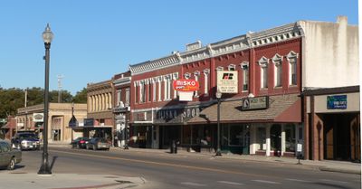
Ord, city in Nebraska, USA
Location: Valley County
Elevation above the sea: 625 m
Website: http://ordnebraska.com
GPS coordinates: 41.60250,-98.93000
Latest update: March 6, 2025 07:53
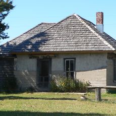
Dowse Sod House
29.4 km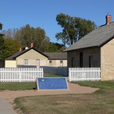
Fort Hartsuff State Historical Park
15.6 km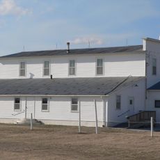
Rad Slavin cis. 112 Z.C.B.J. Hall
18.8 km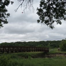
Olson Nature Preserve
72.1 km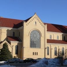
St. Anthony's Church and School
65 km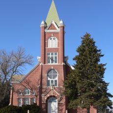
Church of the Visitation of the Blessed Virgin Mary
39.2 km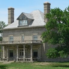
A.T. Ranch Headquarters
52.5 km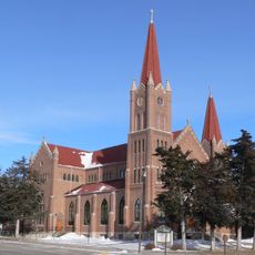
St. Michael's Catholic Church Complex
48.2 km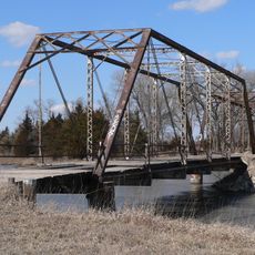
Sargent Bridge
36.9 km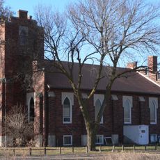
St. Peder's Dansk Evangelical Lutheran Kirke
58.4 km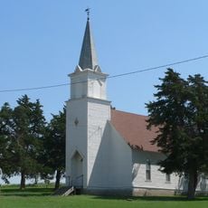
Dannevirke Danish Lutheran Church and Community Hall
36.3 km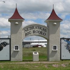
Garfield County Frontier Fairgrounds
25.1 km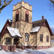
First Presbyterian Church
48.5 km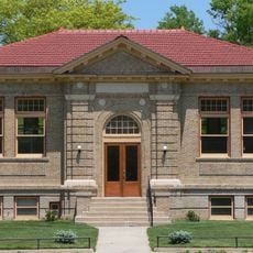
Loup City Township Carnegie Library
36.5 km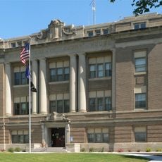
Howard County Courthouse
58.5 km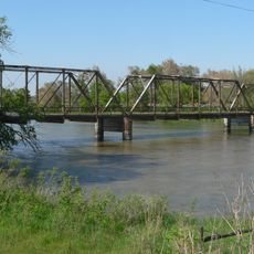
North Loup Bridge
18.1 km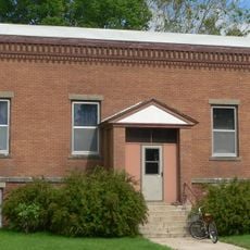
Burwell Carnegie Library
26.1 km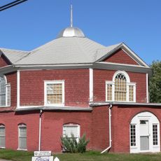
People's Unitarian Church
124 m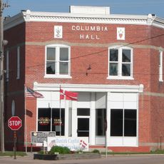
Columbia Hall
62.7 km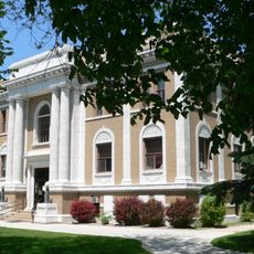
Sherman County Courthouse
36.6 km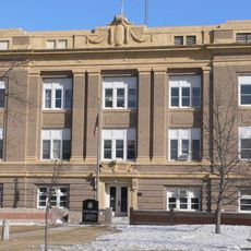
Greeley County Courthouse
33.9 km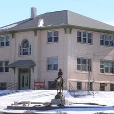
Former Wheeler County Courthouse
44.4 km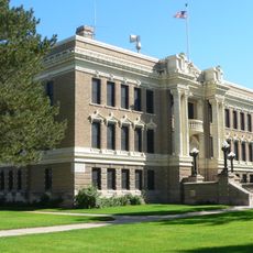
Valley County Courthouse
162 m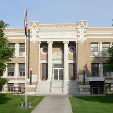
Custer County Courthouse
63.4 km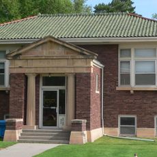
Brenizer Library
70.5 km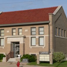
Broken Bow Carnegie Library
63.3 km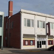
Tiffany Theater
63.3 km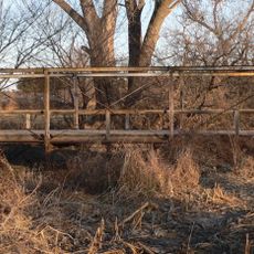
Sweetwater Mill Bridge
62.8 kmVisited this place? Tap the stars to rate it and share your experience / photos with the community! Try now! You can cancel it anytime.
Discover hidden gems everywhere you go!
From secret cafés to breathtaking viewpoints, skip the crowded tourist spots and find places that match your style. Our app makes it easy with voice search, smart filtering, route optimization, and insider tips from travelers worldwide. Download now for the complete mobile experience.

A unique approach to discovering new places❞
— Le Figaro
All the places worth exploring❞
— France Info
A tailor-made excursion in just a few clicks❞
— 20 Minutes