Chest opened
+${chestReward.xp} XP
Explorer
NOUVEAU ×${chestReward.collectible.quantity}
tapez pour fermer
Chest locked

Open chests in the app

Around Us is built for your phone — chests unlock when you walk, explore and capture nearby places.

Enable Location

We need your location to show you interesting places around you

Discover nearby places

Find interesting locations and hidden gems around you

Precise directions

Get accurate directions and distances to places

Your location is never shared with other users. It's only used when you tap the location button.

Log in to your account

Start exploring — it's free

Trusted by 72,888 travelers worldwide

Continue with Google
Continue with Apple
or

We will send you a code to connect

By continuing, you accept our Terms and Conditions and our Privacy Policy

Check your inbox

We've sent a pincode in your inbox. Please enter the code below.

Discussion Reviews Photo
19.2k Popularity

Richfield, town in Summit County, Ohio, United States

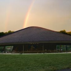
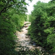
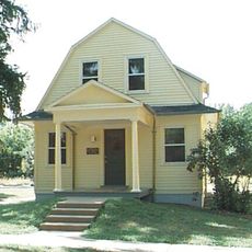
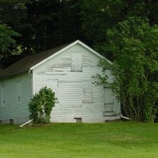
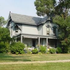
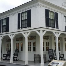
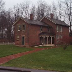
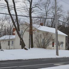
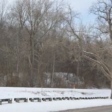
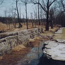
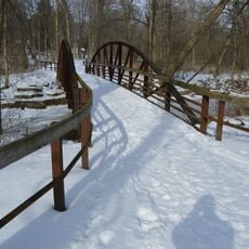
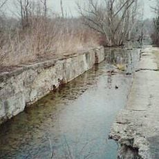
Richfield is a town in the northwestern part of Summit County, Ohio, spanning about 16 square miles with quiet streets, mature trees, and residential neighborhoods. It sits on the highest point in the county and is crossed by major roads that connect it to nearby communities and the larger cities of Akron and Cleveland.

Richfield was founded in 1809 and became officially organized as a town in 1967. A major shift occurred in 2003 when the Village of Richfield separated from the Town of Richfield, creating two distinct administrative units following a lengthy process involving local votes and legal guidance.

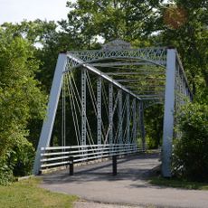
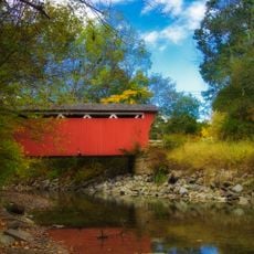
The town is easily accessed via State Routes 303 and 176, which provide connections to Akron, Cleveland, and nearby communities. Visitors can walk through parks and trails scattered throughout, and find small shops and local services distributed along quiet streets.

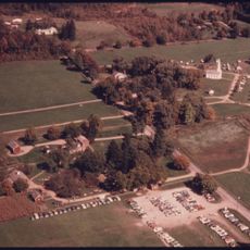
From 1974 to 1994, the Cleveland Cavaliers basketball team played at a large arena in Richfield, bringing the area onto the national sports stage. An ice hockey team, the Cleveland Barons, also played there briefly, making the town a noted sports destination.

The community of curious travelers

AroundUs brings together thousands of curated places, local tips, and hidden gems, enriched daily by 60,000 contributors worldwide.

Start exploring
Location
Inception
1809
GPS coordinates
41.23360,-81.63220
Latest update
February 16, 2026 23:01
Around this place
Blossom Music Center
United States of America

Blossom Music Center

7.6 km
Hale Farm and Village
United States of America

Hale Farm and Village

5.6 km
Boston Mills Historic District
United States of America

Boston Mills Historic District

7 km
Brecksville-Northfield High Level Bridge
United States of America

Brecksville-Northfield High Level Bridge

10.5 km
Brecksville Reservation
United States of America

Brecksville Reservation

8.8 km
Jaite Mill Historic District
United States of America

Jaite Mill Historic District

8.1 km
Station Road Bridge
United States of America

Station Road Bridge

10.2 km
Jim Brown House
United States of America

Jim Brown House

7.3 km
Everett Historic District
United States of America

Everett Historic District

5.8 km
Valley Railway Historic District
United States of America

Valley Railway Historic District

5.2 km
Daniel Tilden House
United States of America

Daniel Tilden House

4 km
Peninsula Village Historic District
United States of America

Peninsula Village Historic District

7.1 km
Jim Brown Tavern
United States of America

Jim Brown Tavern

7 km
Coonrad Ranger Station
United States of America

Coonrad Ranger Station

7.2 km
Allen Welton House
United States of America

Allen Welton House

4.1 km
Charles B. Rich House
United States of America

Charles B. Rich House

8.2 km
Barker Village Site
United States of America

Barker Village Site

8.9 km
Camp Manatoc Dining Hall
United States of America

Camp Manatoc Dining Hall

8.7 km
Vaughn Site
United States of America

Vaughn Site

8 km
Lock No. 34
United States of America

Lock No. 34

8.4 km
Lock No. 33
United States of America

Lock No. 33

7.6 km
Furnace Run Aqueduct
United States of America

Furnace Run Aqueduct

6.1 km
Lock No. 32
United States of America

Lock No. 32

7.1 km
Lock No. 31
United States of America

Lock No. 31

7.5 km
Lock No. 26
United States of America

Lock No. 26

6.9 km
Blue Hen Falls
United States of America

Blue Hen Falls

5.7 km
Everett Covered Bridge
United States of America

Everett Covered Bridge

5.2 km
Hunt House Visitor Information Center
United States of America

Hunt House Visitor Information Center

6.2 km
Show the full map
Reviews
Share your experience

No review yet

Discussions
Start a discussion...

No discussion yet

« Richfield - town in Summit County, Ohio, United States » is provided by Around Us (aroundus.com). Images and texts are derived from Wikimedia project under a Creative Commons license. You are allowed to copy, distribute, and modify copies of this page, under the conditions set by the license, as long as this note is clearly visible.

Discover hidden gems everywhere you go!

From secret cafés to breathtaking viewpoints, skip the crowded tourist spots and find places that match your style. Our app makes it easy with voice search, smart filtering, route optimization, and insider tips from travelers worldwide. Download now for the complete mobile experience.

Around Us App Screenshot

A unique approach to discovering new places

Le Figaro

All the places worth exploring

France Info

A tailor-made excursion in just a few clicks

20 Minutes

Around Us
Travel Guide & Maps
Download

Send to your phone

QR Code
1

Open the camera app on your mobile.

2

Point at the QR code with your camera. A notification will appear.

3

Tap the notification to open the link.