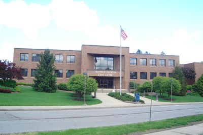
Garfield Heights, city in Cuyahoga County, Ohio, United States
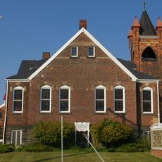
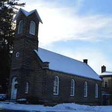
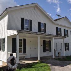
Garfield Heights is a city in Cuyahoga County with residential streets that are easy to walk or drive through. The area consists of well-maintained homes and offers local shops and parks for outdoor activities.
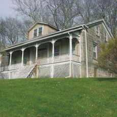
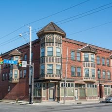
Garfield Heights has been an established city for many years with homes maintained by generations of residents. The area has grown slowly and developed through the stability and continuity of its inhabitants.
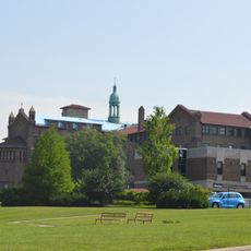
Residents gather at local parks and community spaces where simple activities like gardening and dog walking bring neighbors together. The place reflects an uncomplicated lifestyle where people regularly interact and participate in local events.
The city has sidewalks and is easy to walk or drive through, with local shops and parks within reach. Most residents use cars for daily commutes, with travel times averaging around 30 minutes for work trips.
Some neighbors share stories about minor challenges like leaks or roof repairs that come with older homes. These personal accounts show how residents maintain and improve their houses over decades.
The community of curious travelers
AroundUs brings together thousands of curated places, local tips, and hidden gems, enriched daily by 60,000 contributors worldwide.