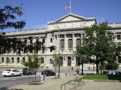
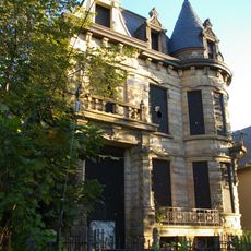
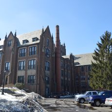
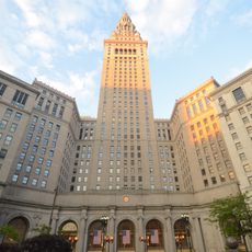
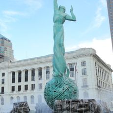
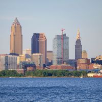
Cuyahoga County, Administrative county in northeastern Ohio, United States
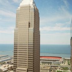
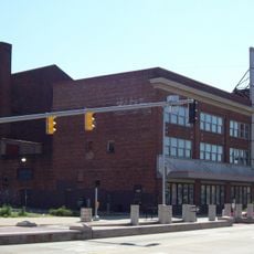
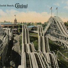
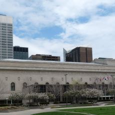
Cuyahoga County is an administrative division in northeastern Ohio, sitting on the southern shore of Lake Erie and crossed by a river of the same name. Cleveland, the largest city in the region, serves as the seat and forms the urban center of this area.
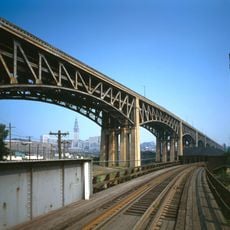
The area was carved out of Connecticut Western Reserve territory in 1807 and established as a separate administrative unit. Settlement along the river grew quickly into an economic hub for the region, driven by trade and industry.
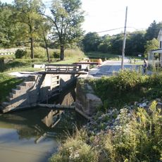
The name comes from an Iroquois word describing the winding river that has shaped life here for centuries. This connection is still visible in place names and historical markers along the banks.
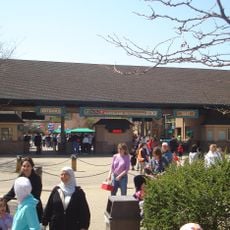
Several parks and nature reserves spread across the territory offer trails for walking and cycling. Public transit connects different neighborhoods and makes it easier to move around without a personal vehicle.
The river flows south first, then makes a sharp turn and empties into Lake Erie about 100 miles (160 km) north. This unusual course gave it its Native American name, which refers to the many bends.
The community of curious travelers
AroundUs brings together thousands of curated places, local tips, and hidden gems, enriched daily by 60,000 contributors worldwide.