Cleveland

Log in to your account

AroundUs is a community-driven map of interesting places, built by curious explorers like you. It grows with every review, story, and photo you share.
Connect to save your favorite spots, contribute locations, and create personalized routes.
By continuing, you accept our Terms and Conditions and our Privacy Policy
Add to collection
Map
Suggest a change
Share

Cleveland, Major industrial port city in Ohio, United States

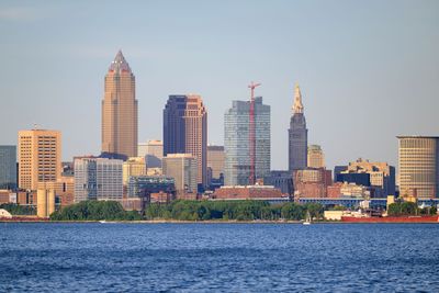
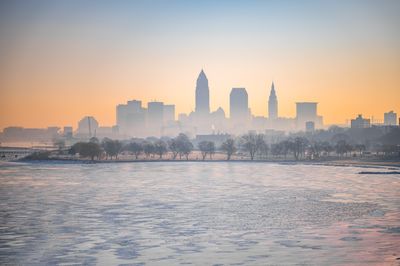
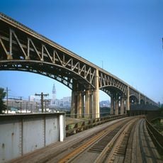
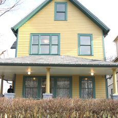
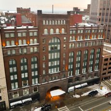
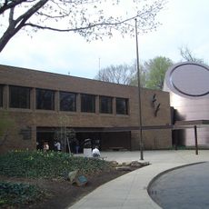
Cleveland stretches along the southern shore of Lake Erie with steel mills, manufacturing plants and numerous bridges crossing the Cuyahoga River. The city is organized into neighborhoods that extend from the lakefront to rolling hills inland, with a downtown core of office towers and red brick municipal buildings.

Moses Cleaveland founded this settlement in 1796 at the mouth of the Cuyahoga River, marking the start of rapid growth in the region. By the 1860s, the city had become a center for steel production and shipping, processing raw materials arriving from across the Great Lakes.

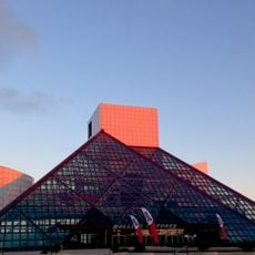
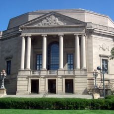
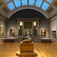
The Cleveland Orchestra performs at Severance Hall, while the Rock and Roll Hall of Fame displays instruments and costumes from music legends. In neighborhoods like Ohio City and Tremont, breweries and restaurants reflect the influence of Polish, Italian and Slovenian immigrant families who settled here generations ago.

The Greater Cleveland Regional Transit Authority operates rail lines and bus routes connecting downtown with residential neighborhoods and surrounding municipalities. Visitors will find public parks and walking paths along the lakefront that are accessible on foot or by bicycle.

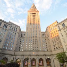
The West Side Market, opened in 1912, houses 100 vendors selling fresh produce, meats and ethnic foods inside a yellow brick building with a clock tower. Terminal Tower, completed in 1930, was the second tallest building in the world outside New York City at the time.

Location: Cuyahoga County

Inception: 1796

Founders: Moses Cleaveland

Elevation above the sea: 199 m

Shares border with: Fairview Park, Lakewood, Bratenahl, Euclid, South Euclid, Cleveland Heights, East Cleveland, Shaker Heights, Warrensville Heights, Maple Heights, Garfield Heights, Cuyahoga Heights, Newburgh Heights, Brooklyn Heights, Parma, Brooklyn, Linndale, Brook Park

Website: https://clevelandohio.gov

GPS coordinates: 41.49917,-81.69472

Latest update: December 14, 2025 21:41

Photos
Around this place
Show the full map
Reviews

Visited this place? Tap the stars to rate it and share your experience / photos with the community! Try now! You can cancel it anytime.

« Cleveland - Major industrial port city in Ohio, United States » is provided by Around Us (aroundus.com). Images and texts are derived from Wikimedia project under a Creative Commons license. You are allowed to copy, distribute, and modify copies of this page, under the conditions set by the license, as long as this note is clearly visible.

Discover hidden gems everywhere you go!

From secret cafés to breathtaking viewpoints, skip the crowded tourist spots and find places that match your style. Our app makes it easy with voice search, smart filtering, route optimization, and insider tips from travelers worldwide. Download now for the complete mobile experience.

Around Us App Screenshot

A unique approach to discovering new places

Le Figaro

All the places worth exploring

France Info

A tailor-made excursion in just a few clicks

20 Minutes