Enable Location

We need your location to show you interesting places around you

Discover nearby places

Find interesting locations and hidden gems around you

Precise directions

Get accurate directions and distances to places

Your location is never shared with other users. It's only used when you tap the location button.

Cranford

Log in to your account

Start exploring — it's free

Trusted by 61,554 travelers worldwide

Continue with Google
Continue with Apple
or

We will send you a code to connect

By continuing, you accept our Terms and Conditions and our Privacy Policy

Check your inbox

We've sent a pincode in your inbox. Please enter the code below.

Cranford, Township administration in Cranford, New Jersey

Description

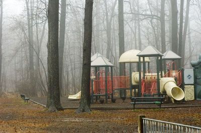
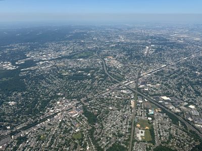
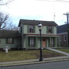
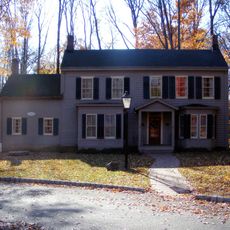
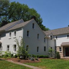
Cranford is a township in Union County, New Jersey, featuring a predominantly residential landscape with multiple parks and neighborhoods. The Rahway River flows through the area, and municipal services are distributed across various community facilities.

History

Established in 1871, the township was created from portions of neighboring communities including Clark, Linden, Springfield, Union, and Westfield. This formation from existing settlements influenced its early structure and development patterns.

Culture

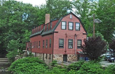
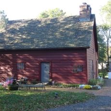
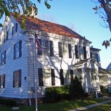
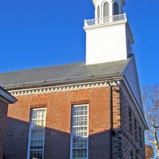
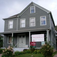
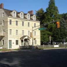
The township's civic center reflects the identity of an established New Jersey community with roots in early settlement. Local landmarks like the Crane-Phillips House show how residents have valued and maintained their heritage over generations.

Practical

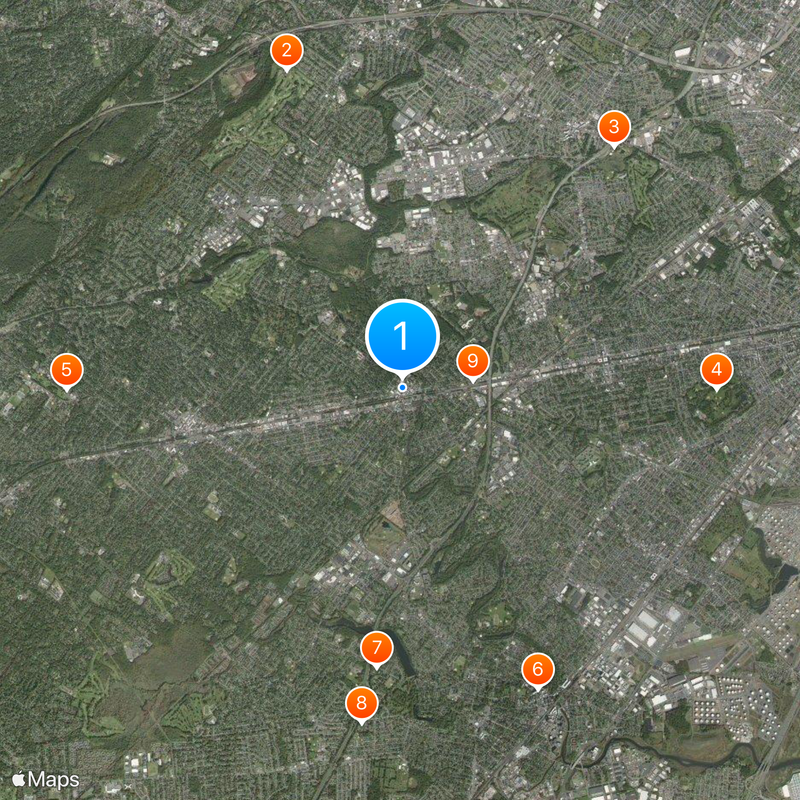
The Township Administrator's Office provides municipal services on weekdays and can be reached at 908-709-7200 for inquiries. Public parks and facilities are distributed throughout the area, allowing visitors to explore by foot or car.

Did you know?

The name comes from the Crane family, particularly John Crane who built a mill along the Rahway River around 1720. This early industrial enterprise formed the seed of what would later become the residential area.

Location
Elevation above the sea
24 m
Shares border with
Springfield Township, Kenilworth, Roselle Park, Roselle, Linden, Winfield Township, Clark, Westfield, Garwood
GPS coordinates
40.65640,-74.30480
Latest update
December 17, 2025 08:54

AroundUs brings together thousands of curated places, local tips, and hidden gems, enriched daily by 60,000 contributors worldwide. Discover all places nearby (Union County).

Around this place
Baltusrol Golf Club
United States of America

Baltusrol Golf Club

5.8 km
Union Watersphere
United States of America

Union Watersphere

5.5 km
United States of America

Warinanco Park

5.3 km
Shady Rest Golf and Country Club
United States of America

Shady Rest Golf and Country Club

5.7 km
Union County Performing Arts Center
United States of America

Union County Performing Arts Center

5.6 km
Robinson Plantation House
United States of America

Robinson Plantation House

4.8 km
Shri Swaminarayan Mandir, New Jersey
United States of America

Shri Swaminarayan Mandir, New Jersey

5.8 km
Crane-Phillips House
United States of America

Crane-Phillips House

1.2 km
Caldwell Parsonage
United States of America

Caldwell Parsonage

4.7 km
Connecticut Farms Presbyterian Church
United States of America

Connecticut Farms Presbyterian Church

4.9 km
United States of America

William Miller Sperry Observatory

1.9 km
Deacon Andrew Hetfield House
United States of America

Deacon Andrew Hetfield House

4.8 km
Miller-Cory House
United States of America

Miller-Cory House

3.9 km
Westfield Fire Headquarters
United States of America

Westfield Fire Headquarters

3.8 km
Union County Park Commission Administration Buildings
United States of America

Union County Park Commission Administration Buildings

5.6 km
Oswald J. Nitschke House
United States of America

Oswald J. Nitschke House

2.3 km
John De Camp House
United States of America

John De Camp House

4.5 km
United States of America

Jacksons Pond

3.3 km
United States of America

Fox Theatre

4.9 km
United States of America

Islamic Center of Union County

5.2 km
Merchants' and Drovers' Tavern
United States of America

Merchants' and Drovers' Tavern

4.7 km
United States of America

Bloodgoods Pond

3 km
United States of America

Middlesex Reservoir

4.2 km
United States of America

Shackamaxon Country Club

5.1 km
United States of America

Galloping Hill Golf Course

3.7 km
United States of America

Designers Gallery Fine Art & Custom Framing

3.4 km

Art e Vino Studio

127 m
United States of America

ArtXo Studios

3.6 km
Show the full map
« Cranford - Township administration in Cranford, New Jersey » is provided by Around Us (aroundus.com). Images and texts are derived from Wikimedia project under a Creative Commons license. You are allowed to copy, distribute, and modify copies of this page, under the conditions set by the license, as long as this note is clearly visible.

Discover hidden gems everywhere you go!

From secret cafés to breathtaking viewpoints, skip the crowded tourist spots and find places that match your style. Our app makes it easy with voice search, smart filtering, route optimization, and insider tips from travelers worldwide. Download now for the complete mobile experience.

Around Us App Screenshot

A unique approach to discovering new places

Le Figaro

All the places worth exploring

France Info

A tailor-made excursion in just a few clicks

20 Minutes

Around Us
Travel Guide & Maps
Download

Send to your phone

QR Code
1

Open the camera app on your mobile.

2

Point at the QR code with your camera. A notification will appear.

3

Tap the notification to open the link.